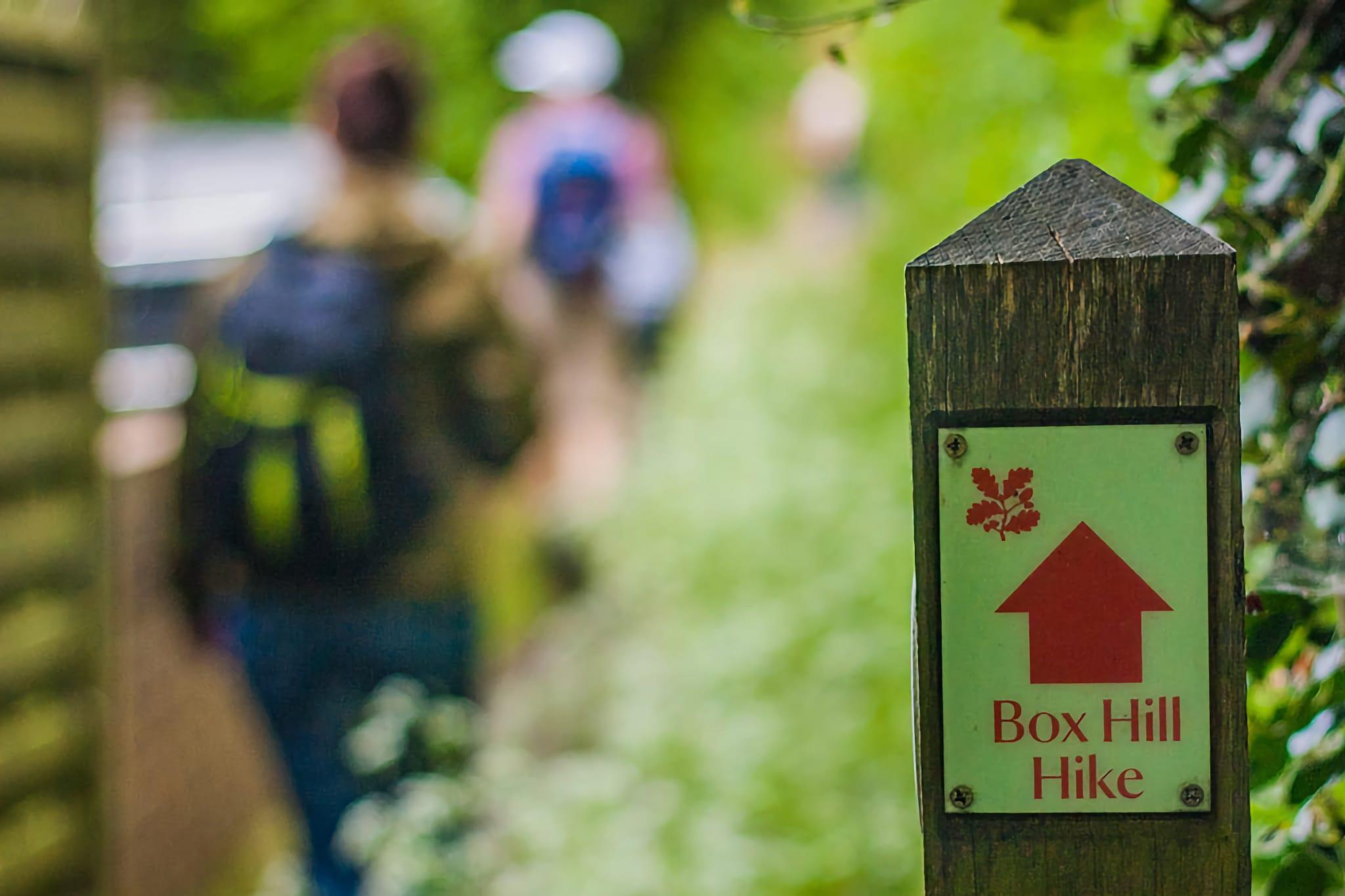
Last weekend on sunny Sunday, together with some friends, we went for our first hike in London’s neighbourhood. The weather was pleasant and this moderate length hike was very enjoyable.
The event was quite spontaneous. Just the evening before Dan asked us to join him and his wife Ale. I didn’t have any time to learn anything about the location we’re going, so the trip was very open to me & I didn’t know what to expect.
Box Hill
Box Hill is a summit in Surrey, located around 30km southwest of London. It lies within the Surrey Hills Area of Outstanding Natural Beauty. The country park is managed by National Trust, a charity that oversees running & maintenance of many important public outdoor places (be it woods, beaches, islands, gardens, historic villages or… pubs).
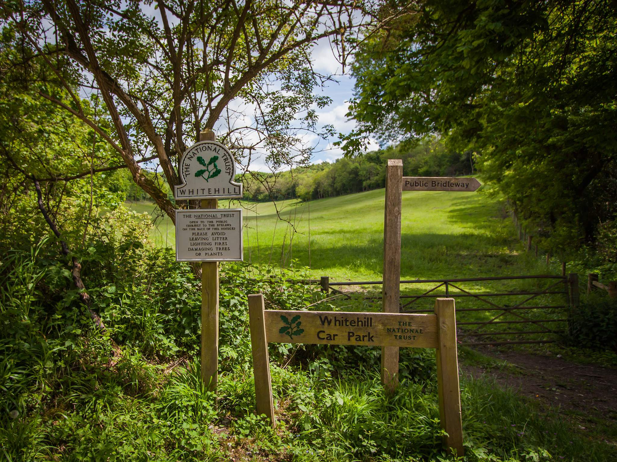
Box Hill Hike is one of many popular walks in the area. Stepping Stones Walks is another popular one which I plan to visit for sure. On National Trust’s website you can find many interesting places and locations to visit, together with useful hiking guides, maps, and tips.
Side note: The term Area of Outstanding Natural Beauty is used to describe countryside in England, Wales or Northern Ireland which has been designated for conservation due to its significant value. Those areas are similar to national parks, with the same level of protection but have a bit more relaxed rules.
Getting there from London
To get to the Box Hill Hike, you have to get there from London. I guess a good place to start is the vicinity of Dorking. To get there you can catch buses from Surbiton / Kingston Upon Thames or Epsom. But we have actually traveled via trains through Croydon & Redhill.
It turns out that, you can’t use Oyster on the travel between Redhill & Dorking. Fortunately, one friendly train guard informed us about this and we’ve bought the tickets to Dorking Deepdene.
I guess there is direct London to Dorking train (South West Trains), but at that time it was not operating (at least Google Maps didn’t suggest us any better connection).
The hike
A popular place to start your hike is the bottom of Zig Zag Road, a steep road leading to Box Hill Cafe and nearby parking. It looks like the road itself is quite popular among cyclist as we’ve seen many of them cycling in both directions. Our path was found on the right side, via wide grassland slope.
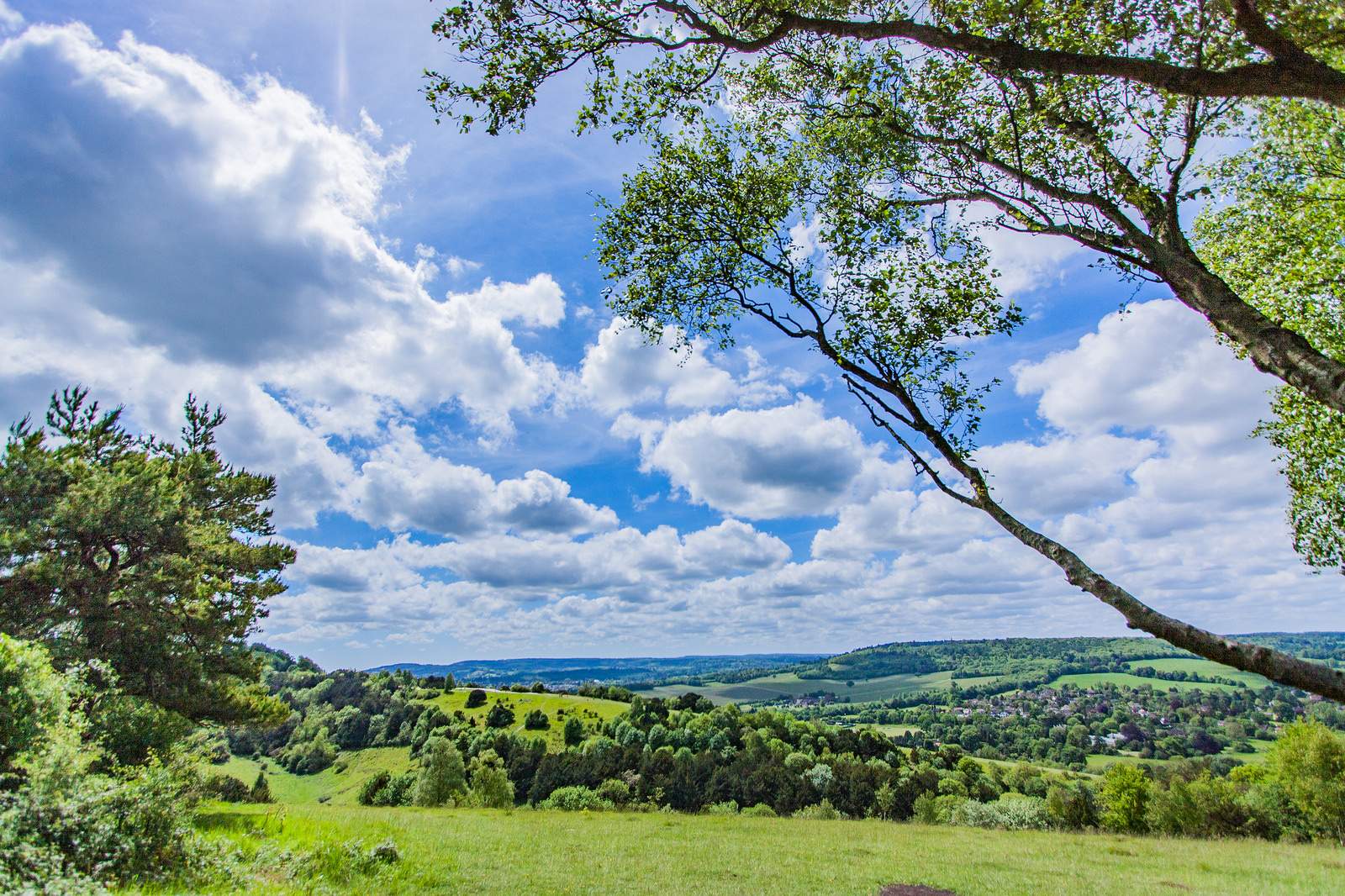
We’ve met with Dan and Ale at the cafe, refreshed a bit and started to follow the trail clockwise, heading north in the direction of Juniper Hill. The relative heights were not so great, but I think climbing up mentioned hill, about 80m of elevation gain was the most challenging part of the whole hike.
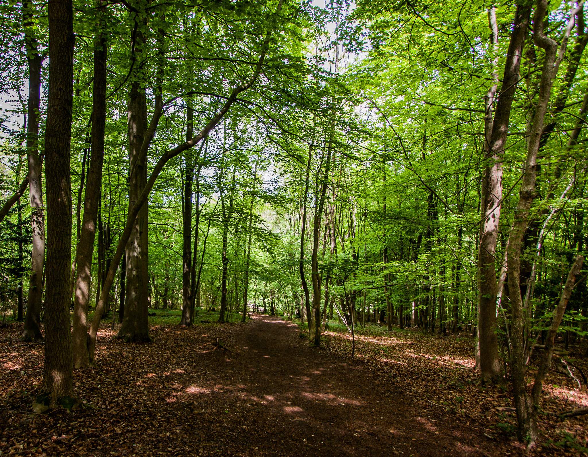
Most of the time we’ve been walking through the woods, separated by occasional clearings and meadows. But after climbing up the hill, we’ve found the small bench where we’ve sat for about fifteen minutes to grab some drink and enjoy the moment.
Refreshing at Mickleham
The second part of the hike started with the easy descent to Mickleham village.
After a short walk, we’ve appeared at St. Michael and All Angels church with beautiful, vintage looking graveyard. It wasn’t very old, but because it was looking a bit forgotten, the simplicity of tombstones and a “touch of the past” have made quite an impression on us.
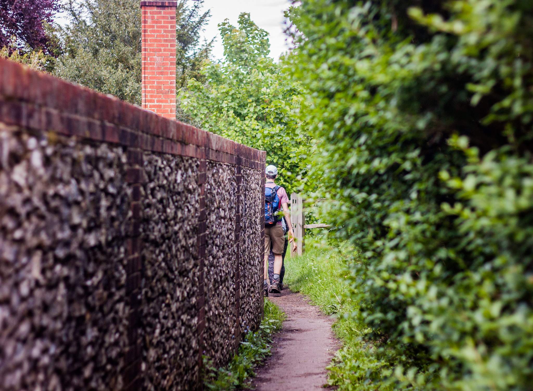
I’ve also really enjoyed following beautiful, narrow path through the village. On the both sides we’ve passed small homes, stone walls and wooden fences, to finally arrive at the next stop on our walk…
The King William IV
It was early, warm afternoon and stopping at the nearby pub was quite a good idea. This lovely place had hidden entrance to the garden part and after few steps we’ve found ourselves sitting at the sunny table, drinking local beer and eating our sandwiches.
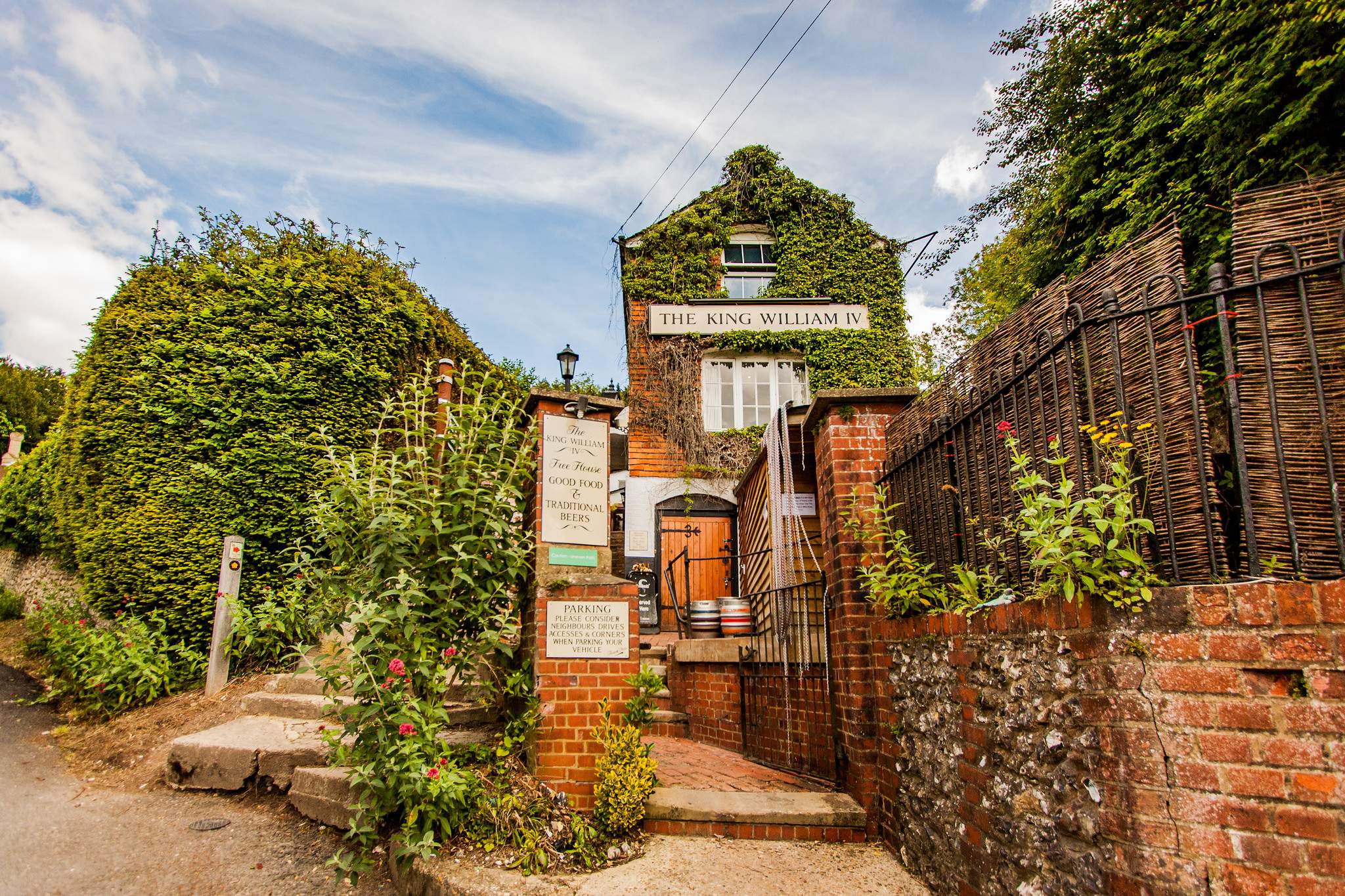
After rest and refueling, we’ve continued our hike, climbing back hill, to arrive at long, grassy, open area called Mickleham Gallops.
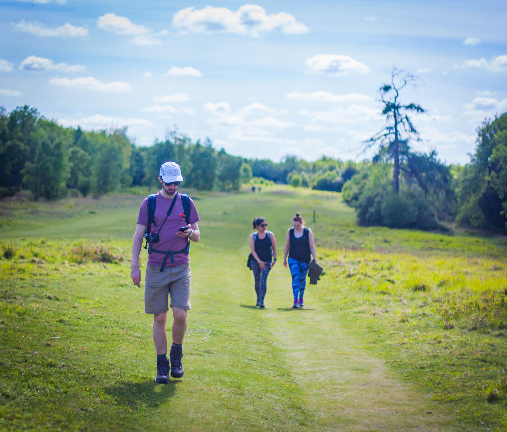
This flat, clear field served in the past as training ground for horse riding and gallop (hence the name). Following the long but gentle and straight walk, we’ve actually missed the right turn and had then go back few hundred meters. Our route turned right, to steep descent into the valley.
Getting back to where we started
The next portion of the hike was bit strenuous. It was leading through the woods feeling a bit monotonous. We also began to feel a little bit tired and at one point we’ve taken a shortcut.
The only excitement was a pair of wild rabbits that Ale spotted on the field next to the path we were walking on.
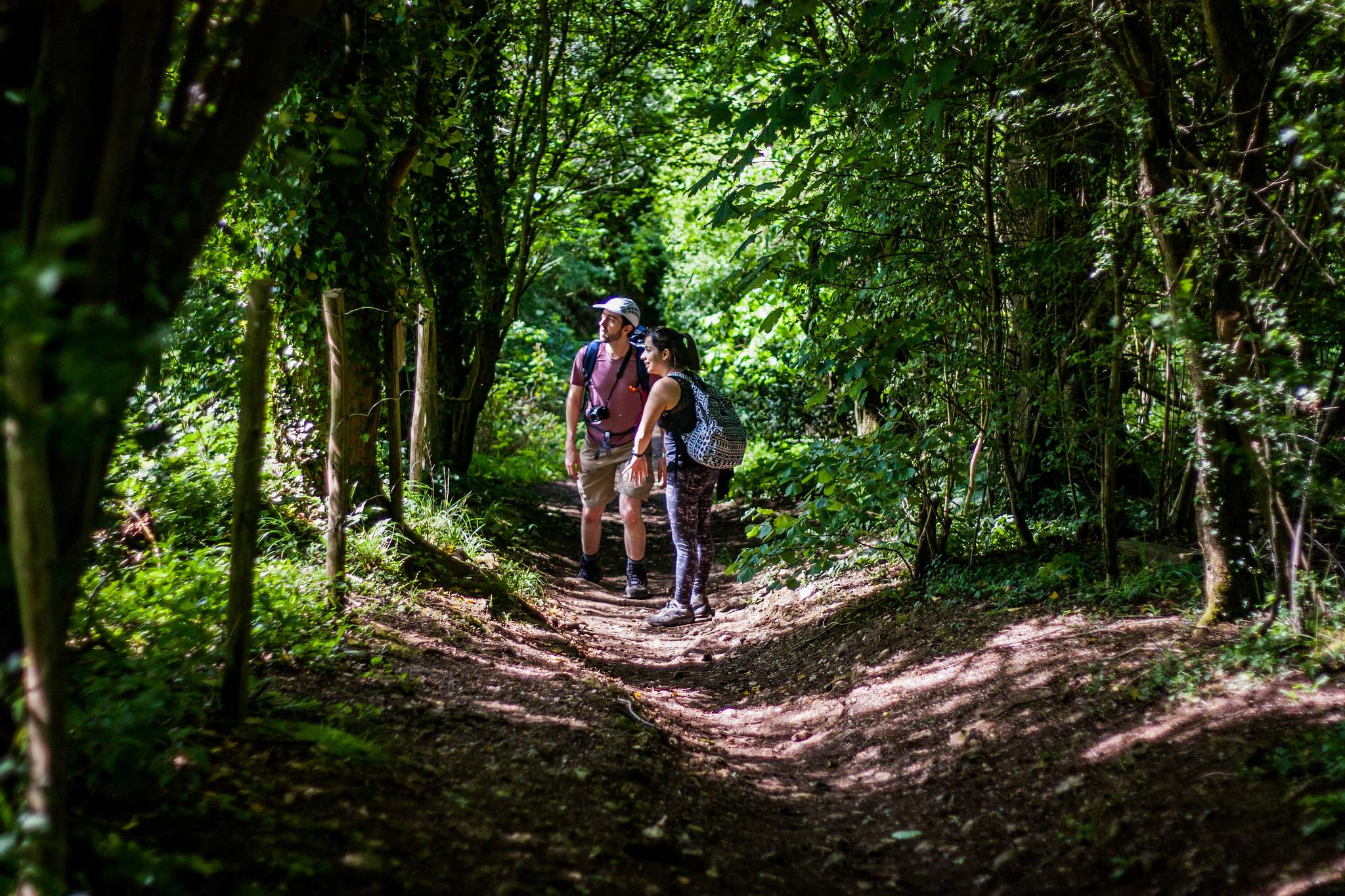
But after about hour of walking, we’ve emerged at Box Hill Village. It was nice to follow the street watching small, pretty, well-maintained houses.
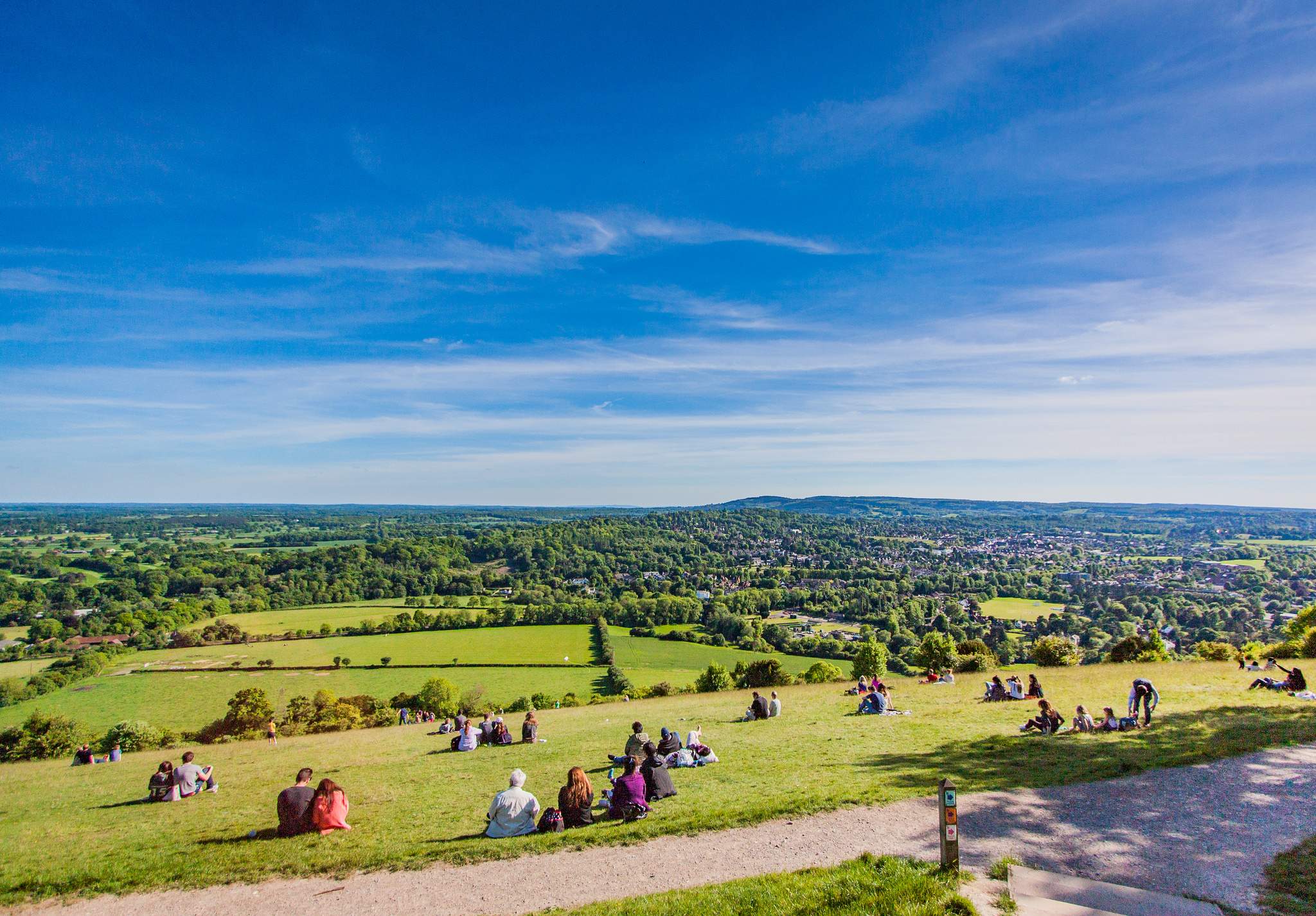
The road lead us back to the starting point at the cafe, but before we’ve got there, we’ve stopped at the final point on our journey, the Salomons Memorial viewpoint. There, we’ve sat on the side of the hill, enjoying the view overlooking Dorking and further south areas.
After the break, we’ve covered the remaining part in about 20 minutes, walking back down to the bus stop by the Zig Zag Road. We’ve said goodbye to the Box Hill and headed back home for the well-deserved and anticipated rest!
