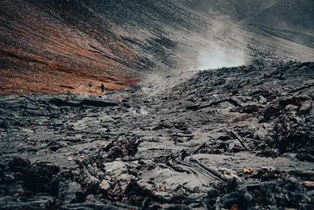
I started last month with a review of my photos from the previous year’s Iceland trip, and I’ve shared some bits from the first days of the travel highlighting the famous Golden Circle route. But Iceland is so much more. Our journey was planned often on the go, driven by the exciting spots along the Ring Road and the booked accommodation.
Have a seat, grab a favourite drink of your choice and enjoy the next portion of these stunning, moody and sometimes out-of-this-world views from Iceland!
Kerid Crater
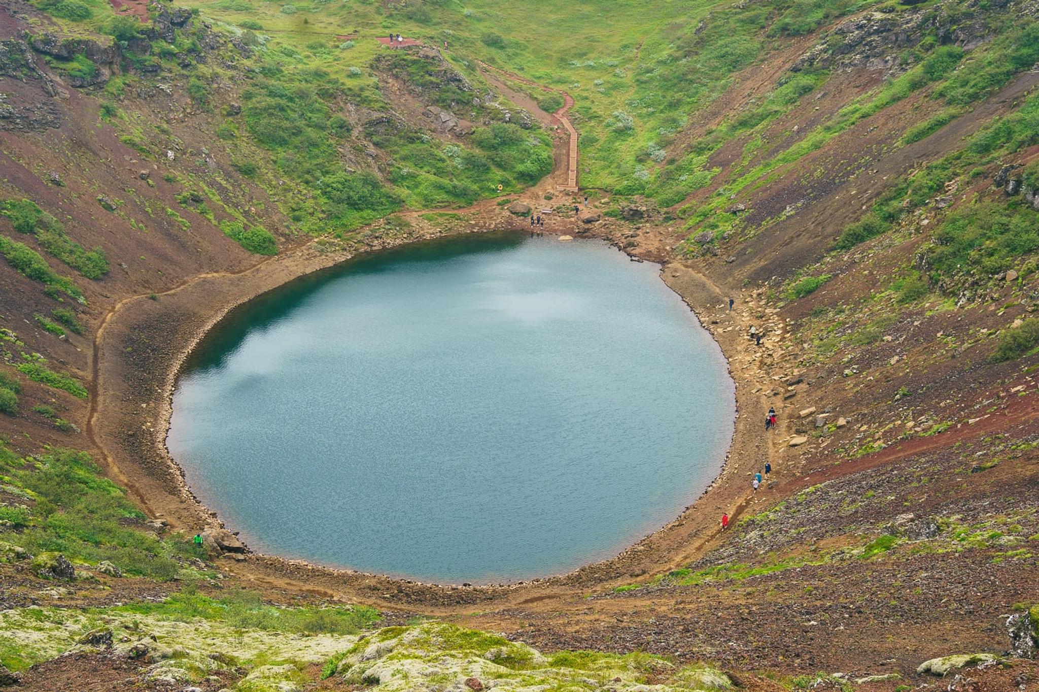
Kerið is a volcanic crater lake located along the Golden Circle route. We didn’t manage to get there on 1st day because we detoured north. But the crater was still on our itinerary.
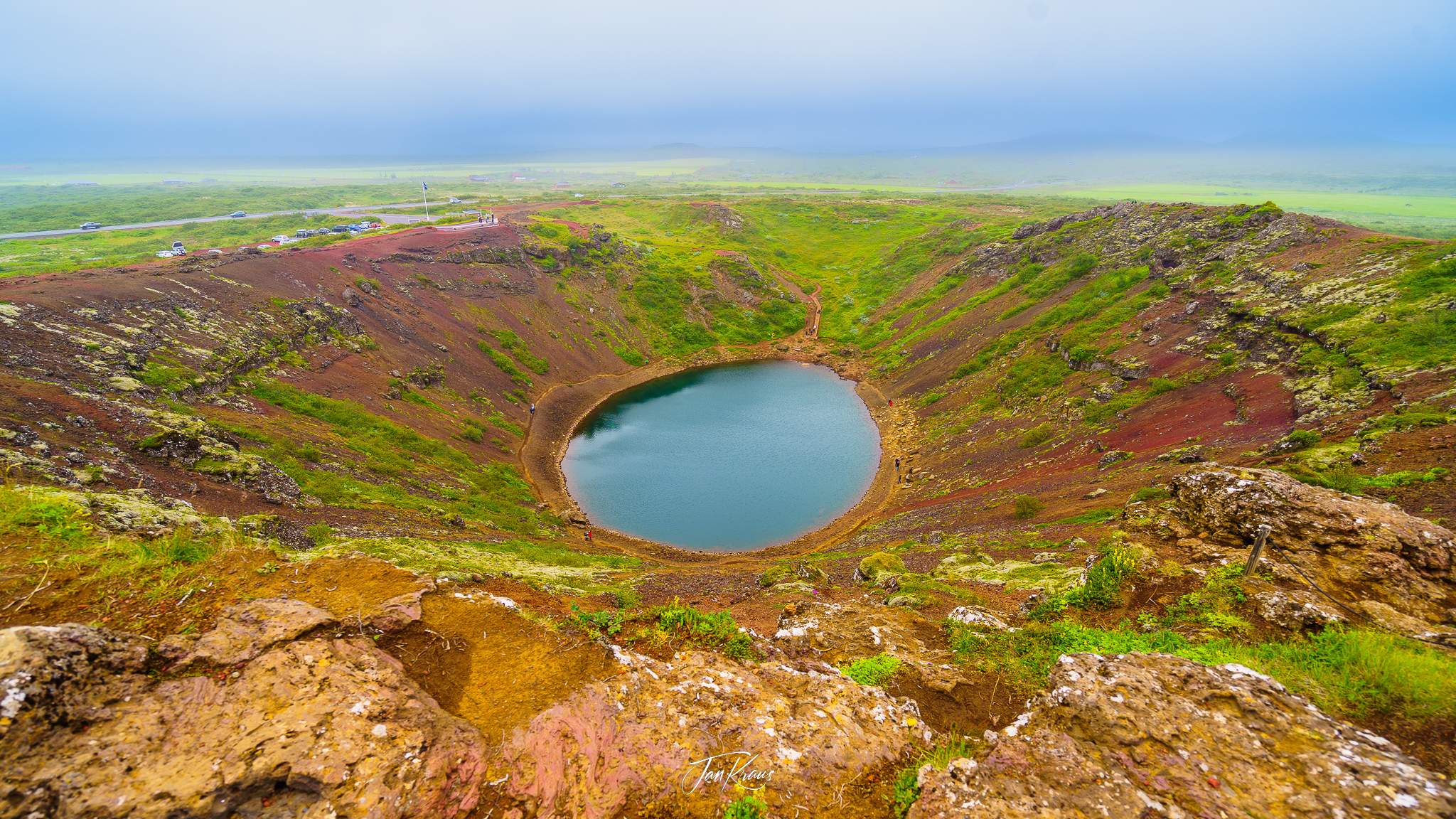
The grey sky was heavily covered with clouds and occasional rain showers, so I wasn’t expecting good visibility. But when we got there, the crater surprised us with stunning views of the deep caldera with contrasting, green-coloured water and steep brown slopes with irregular patches of green.
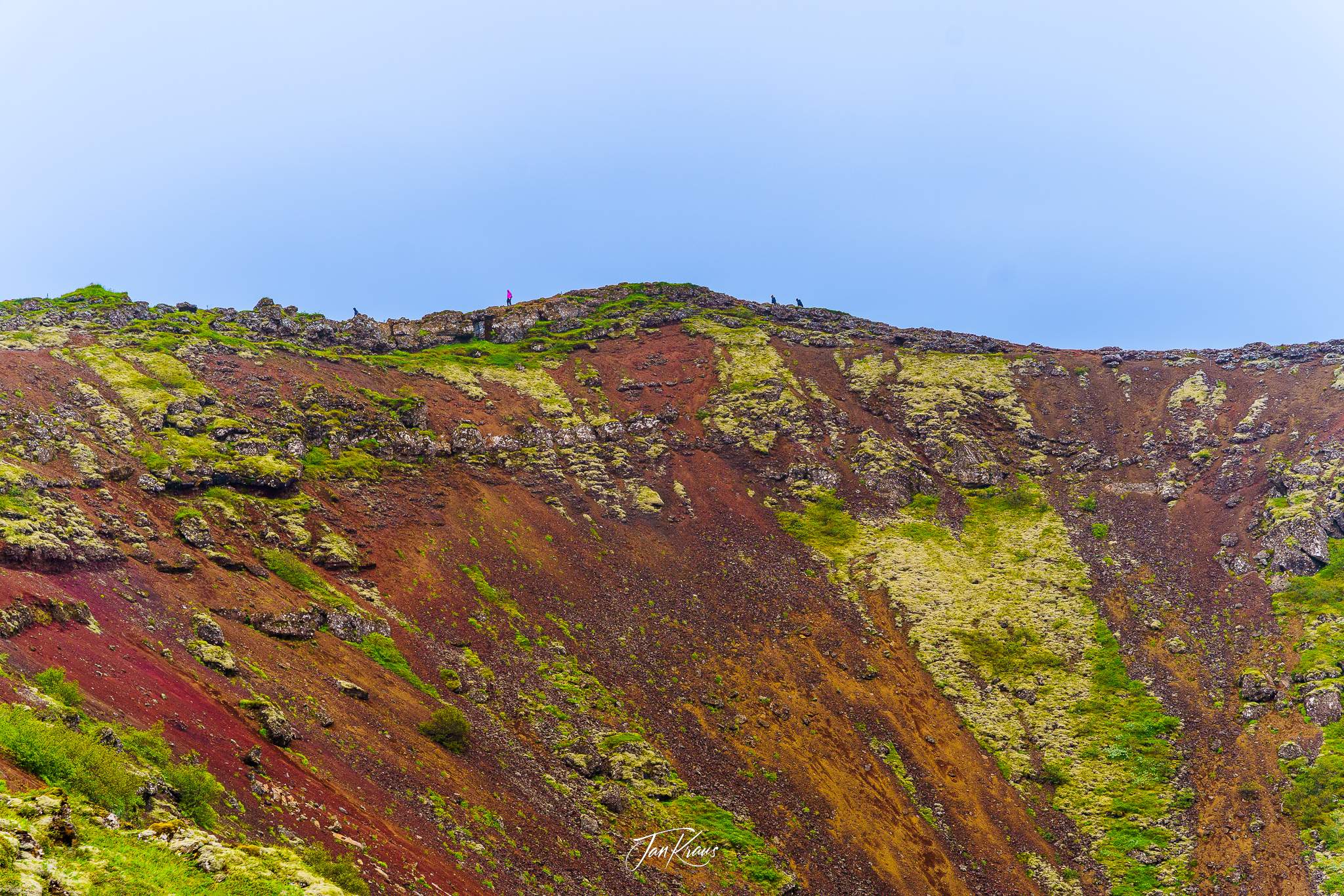
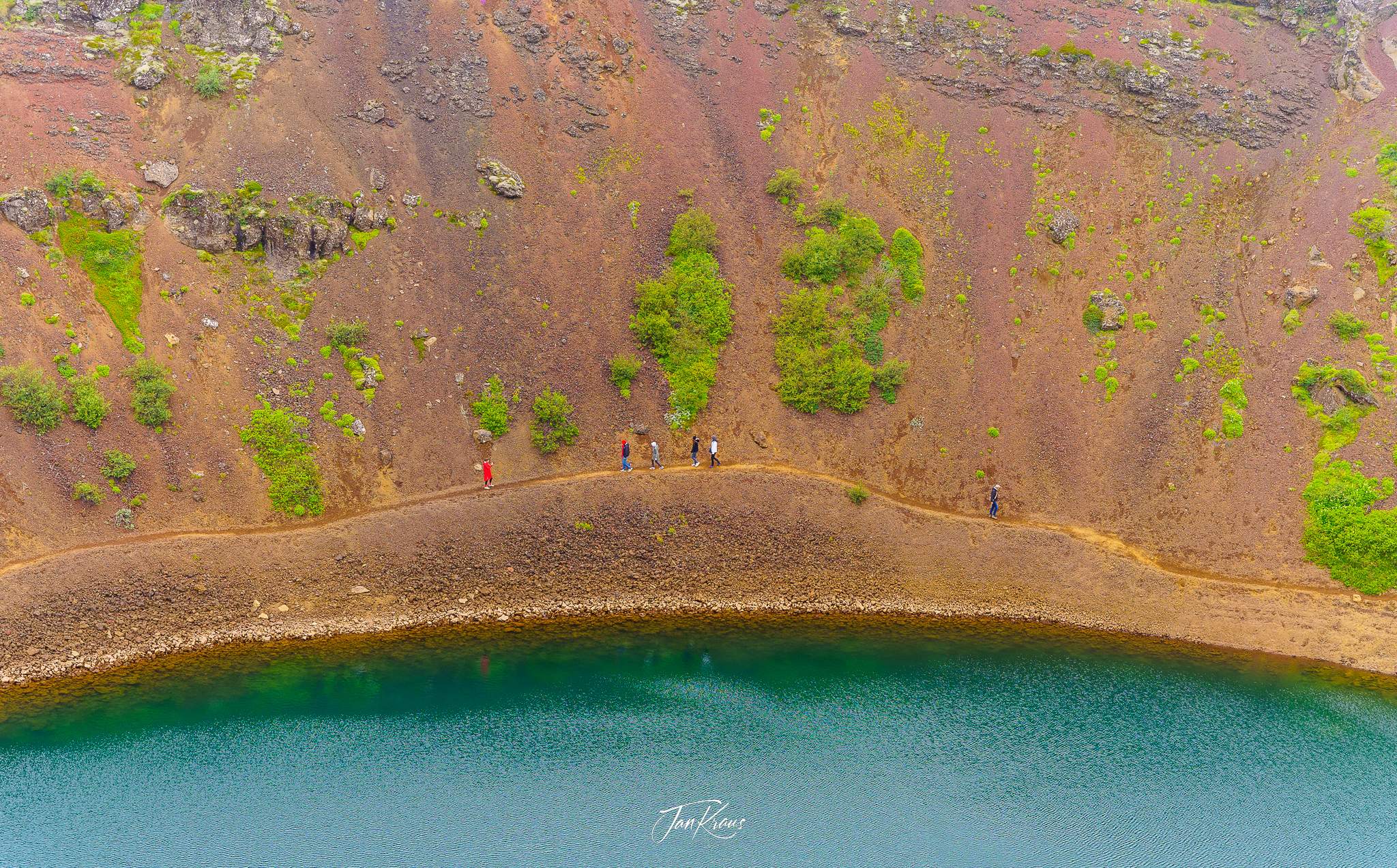
There is a path that leads around the crater’s edges, so you can have a good view over the inner aquamarine lake.
You can also walk down and look at the steep slopes.
After the crater, we make a short lunch-break stop at Rauða Húsið Restaurant in Eyrarbakki, a small fishing village on the southern shore.
Waterfalls
Driving further east, the trip led us to visit some waterfalls.
Hjalparfoss waterfall
The first stop was at a relatively small one named Hjálparfoss. This waterfall is located about 30km east of the village of Flúðir and can be reachable by a gravel road, Route 32.
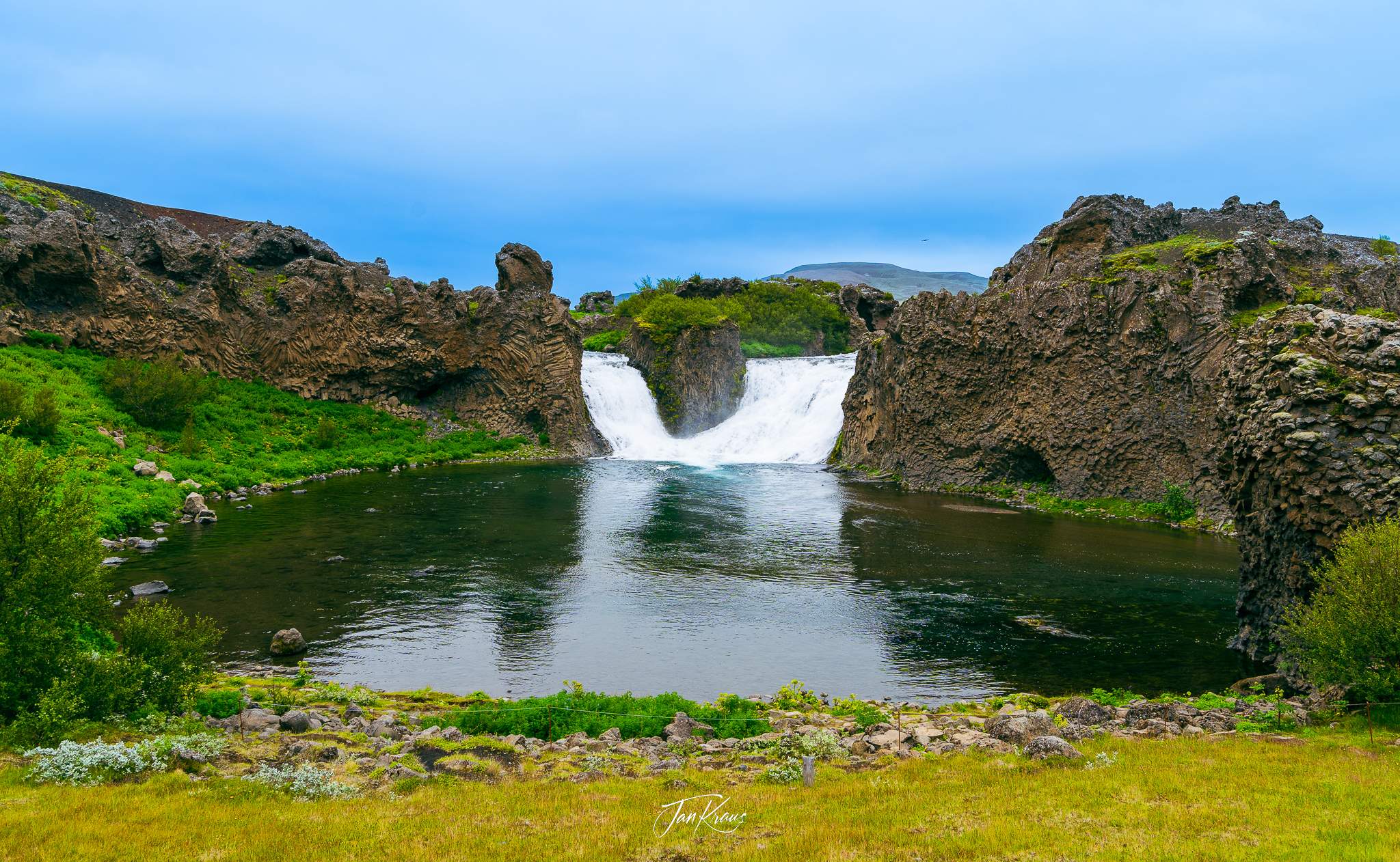
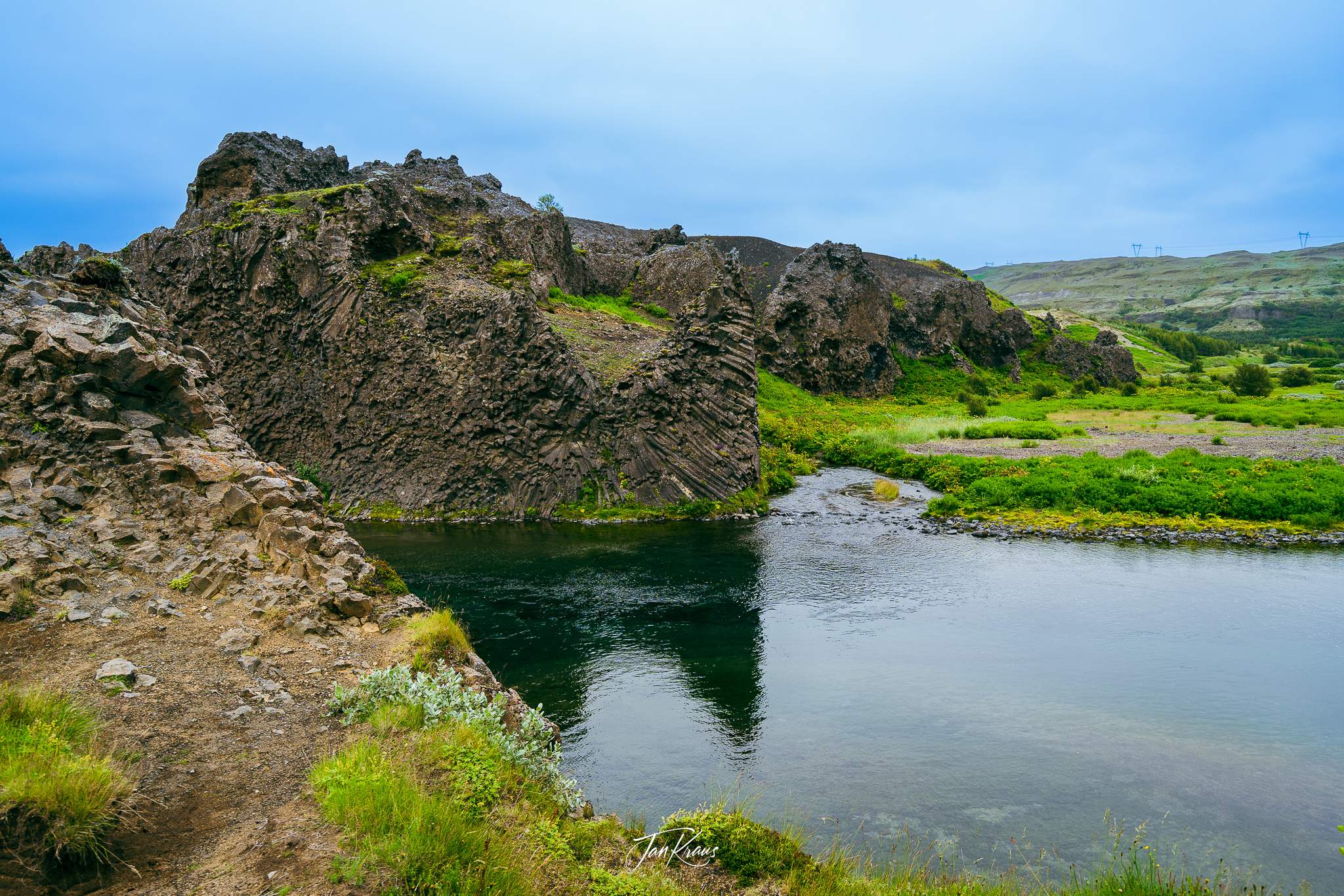
What’s interesting about it is that its composed of two rivers, Fossá and Þjórsá, merging to create a basin and carving their ways through some basalt columns. Exposed walls create fascinating rock formations.
Sigöldufoss waterfall
It was afternoon, and we were supposed to start heading back to our place as we were getting further and further away. But drawn by the beauty of the Highlands and a long daytime, we’ve decided to drive further away. The next stop was already accessible only via gravel F26 road (relatively easy to drive)
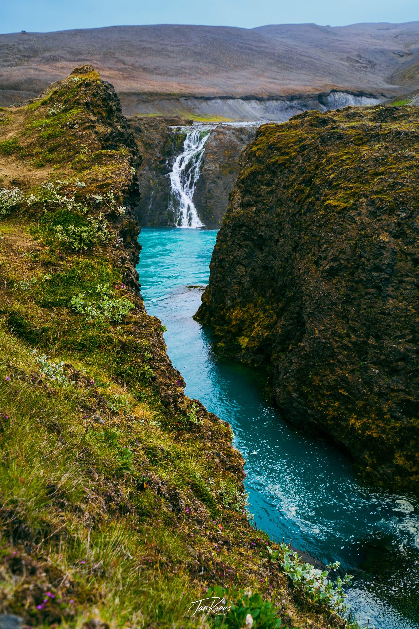
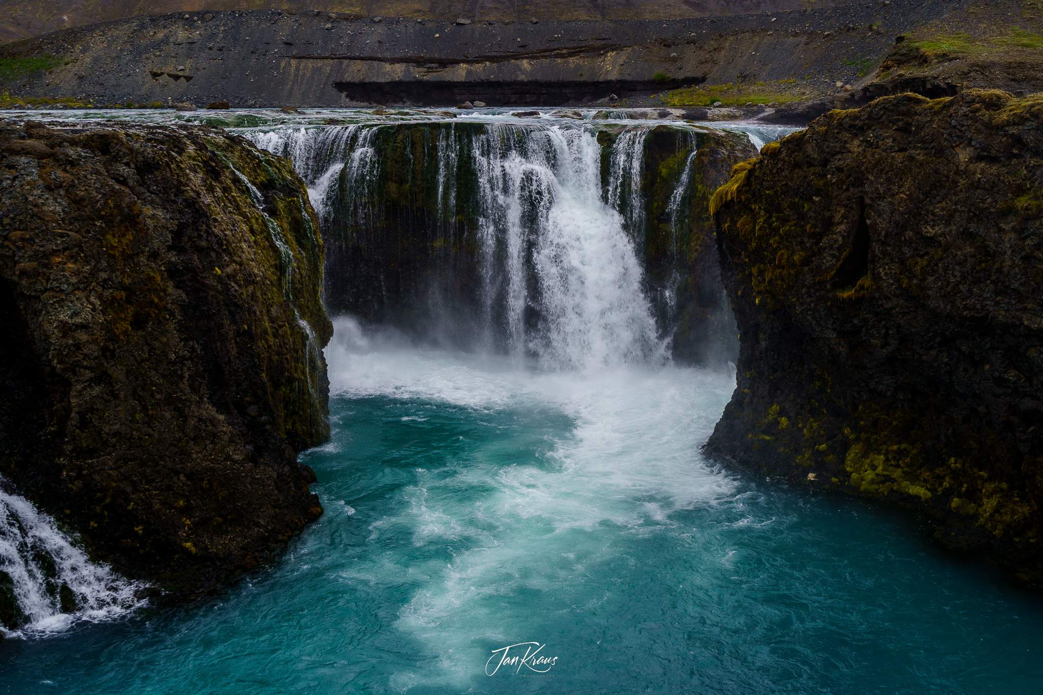
Its beauty is manifested through the clear, turquoise water of the Tungná river.
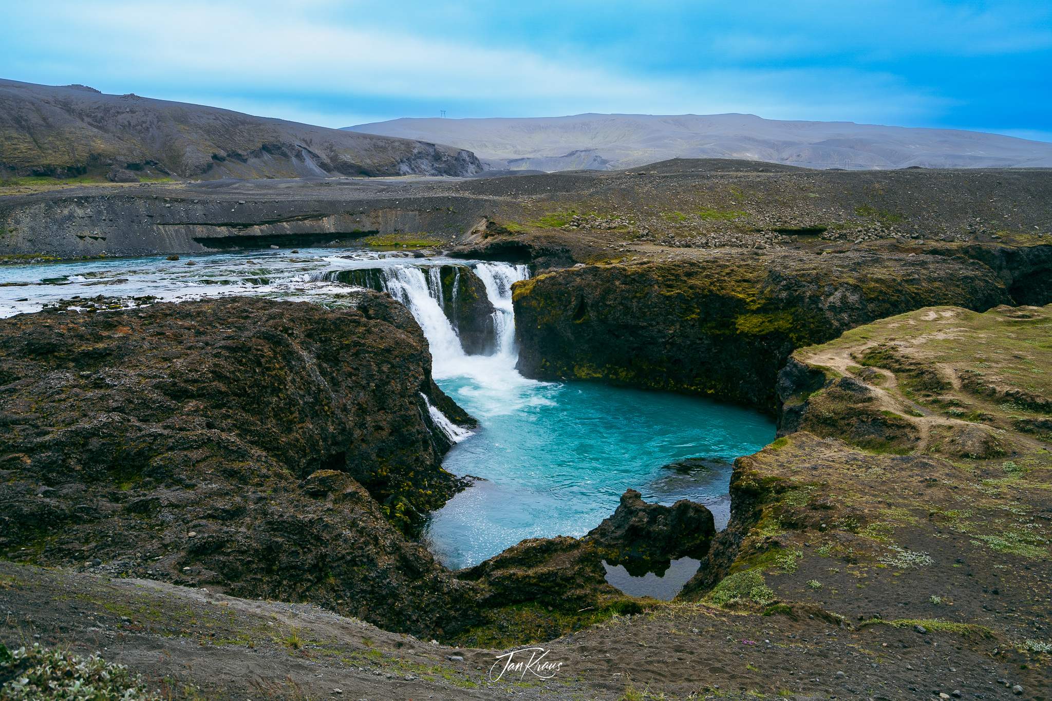
Hiking a little bit down the path along the edges offered different angles to view the falls.
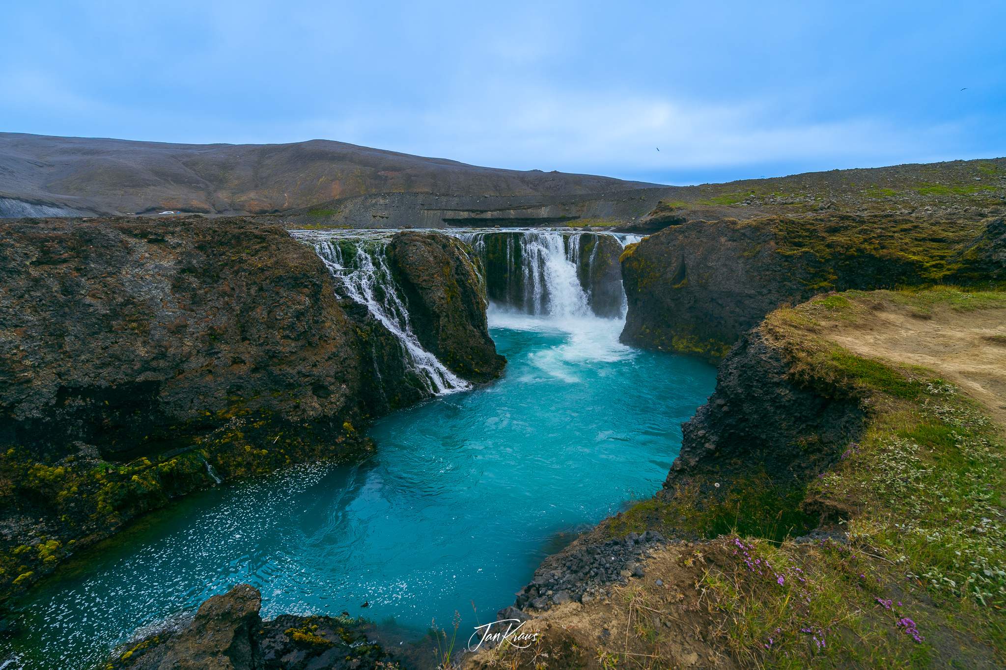
The water flowing through multiple cascades has formed its way through a small but dramatic canyon with sharp rocks. The Tungná river is regulated a little bit upstream, with significant power harnessed via the Sigöldustöð power plant.
The black rocks offered great, contrasting background with turquoise water creating a moody atmosphere around the place.
Into the Highlands
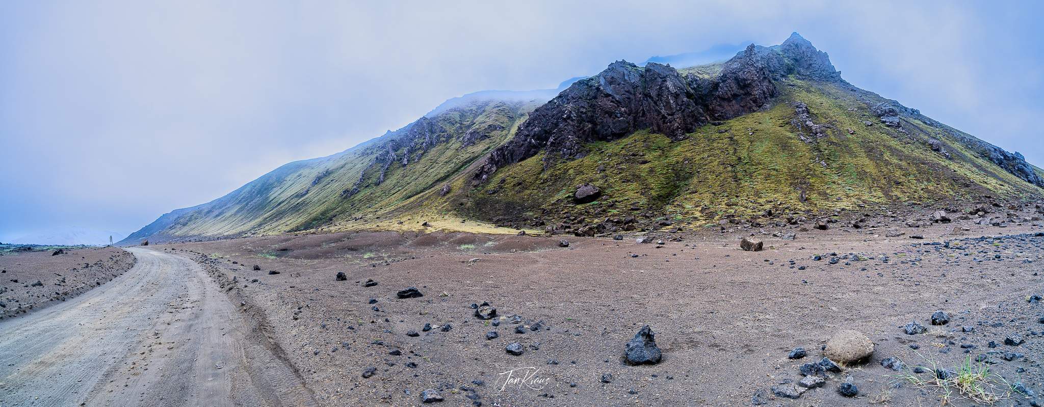
The unsurpassed beauty of landscapes is irresistible. It’s getting late, but we continue along the F208 further into the Highlands.
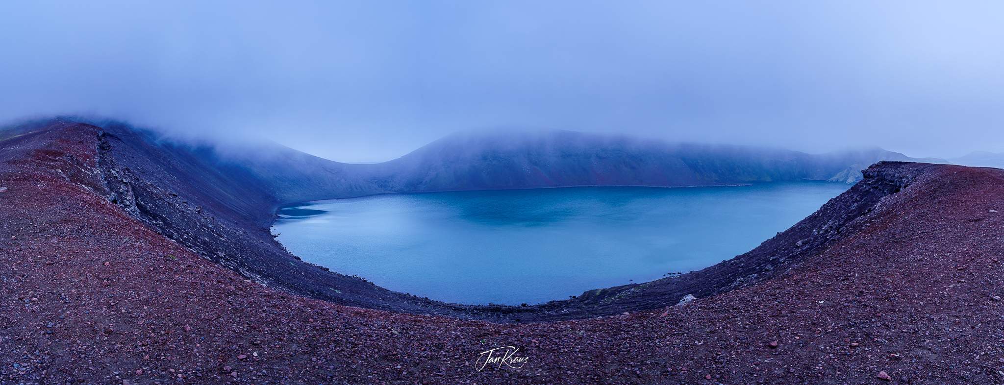
Driving in a haze of the upcoming evening, we stopped for a short detour at Bláhylur lake, which formed in some kind of crater. It was a sensory-deprivation experience with a limited blue and brown colour palette of the landscape and fog and clouds covering the views.
When you stop and look at the landscape, you can imagine how the raw power of vulcanism activity shaped the area.
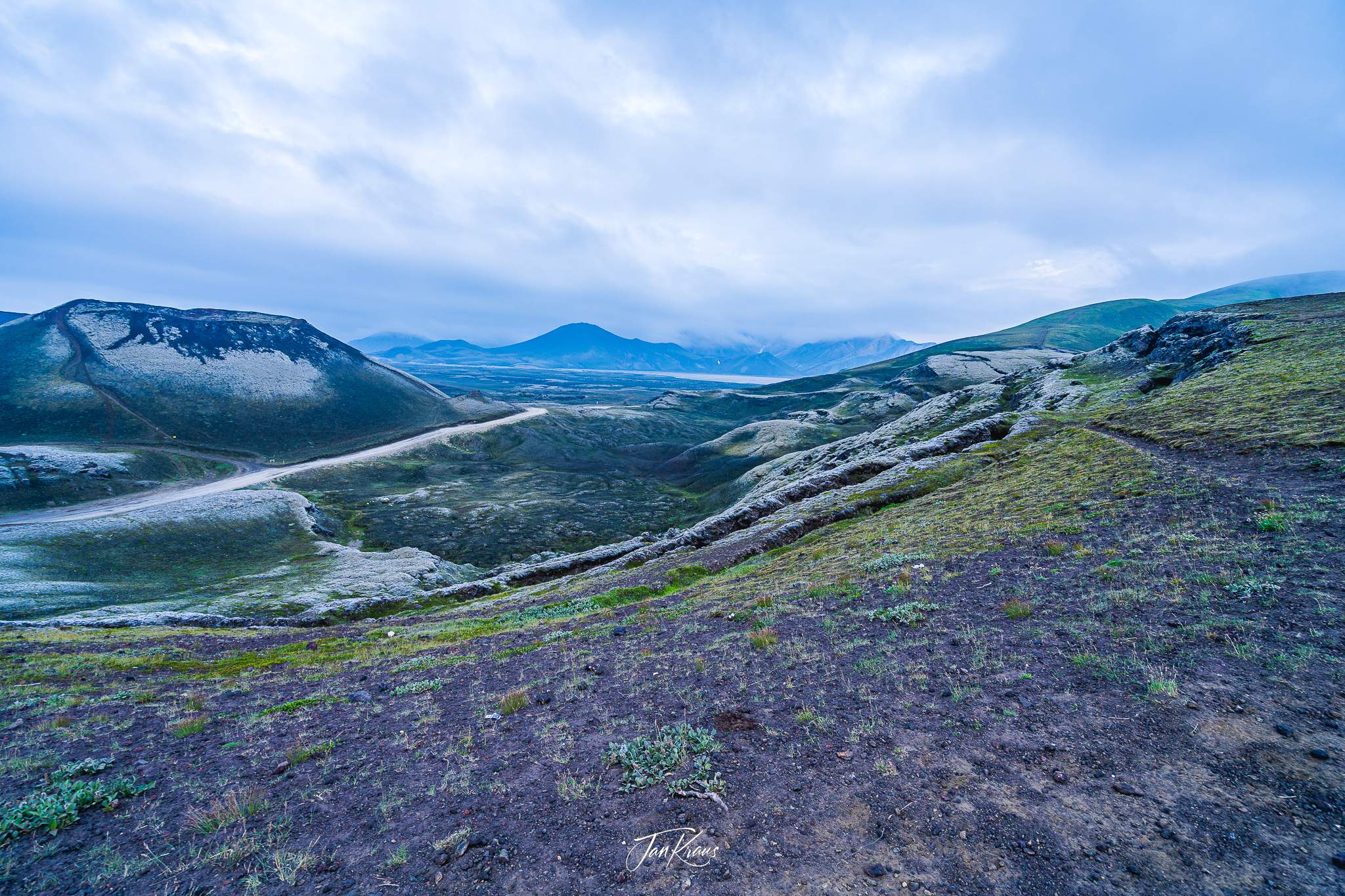
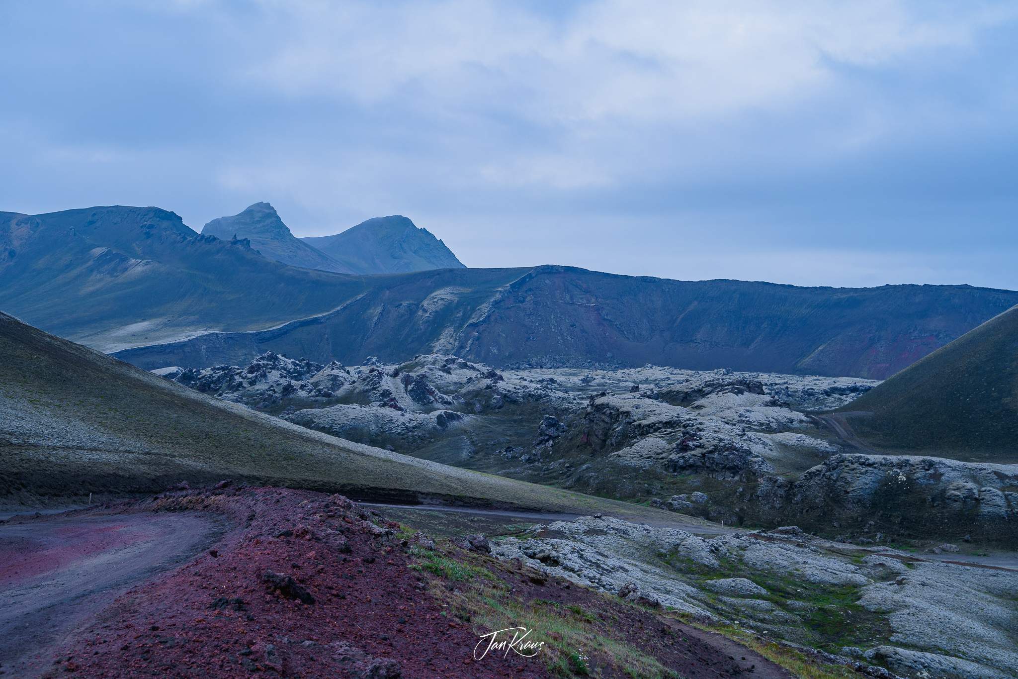
At some point, we reached a stunning viewpoint above the Frostastaðavatn lake. This was a very tranquil, quiet and peaceful place bringing us very calming vibes.
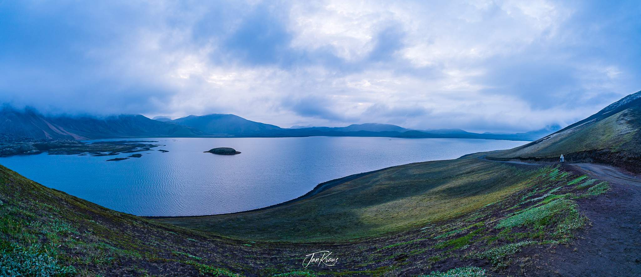
We had to turn back from this moment as still quite a chunk of road was ahead of us. I wished the day would never and there was enough time to stop at every bay to admire all the stunning views around us.
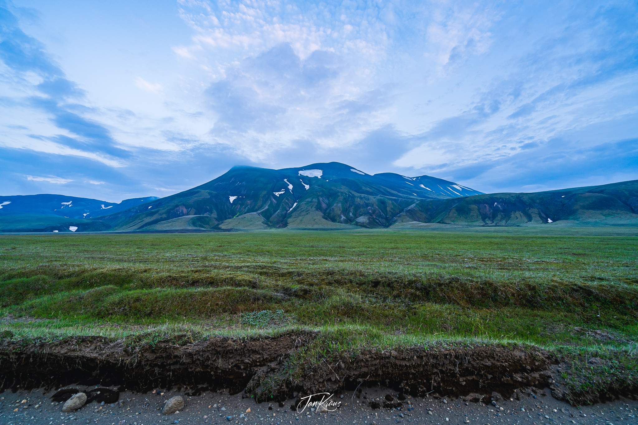
On the way back, we took the Landmannaleið (F-225) road leading back west to Road 26. Luckily (or not - as it’s also one of the most beautiful roads!), it started to rain, and the visibility wasn’t good, so we didn’t see much further.
