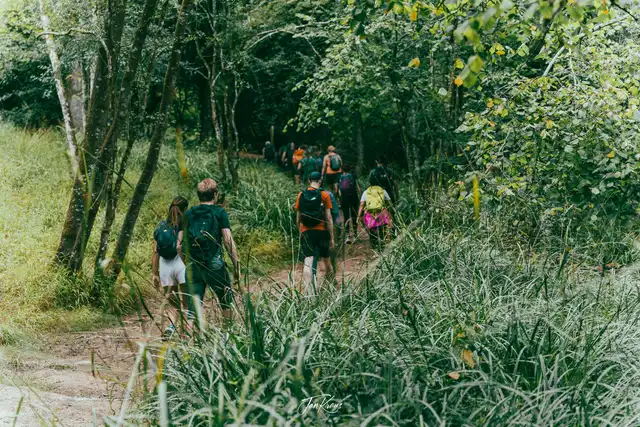
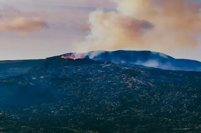
Continuing my Iceland series, I’m ready to share the next part of the journey from my travel. We continue east along Ring Road, visiting some cliffs where Puffins are nesting and then some more mountains and glaciers views.
The Ring Road offers many mesmerising views right out of the car window. Too bad there aren’t that many places to stop, plus you still need time to reach your destinations. It was sometimes very challenging not to spend at least an hour on every possible sighting.

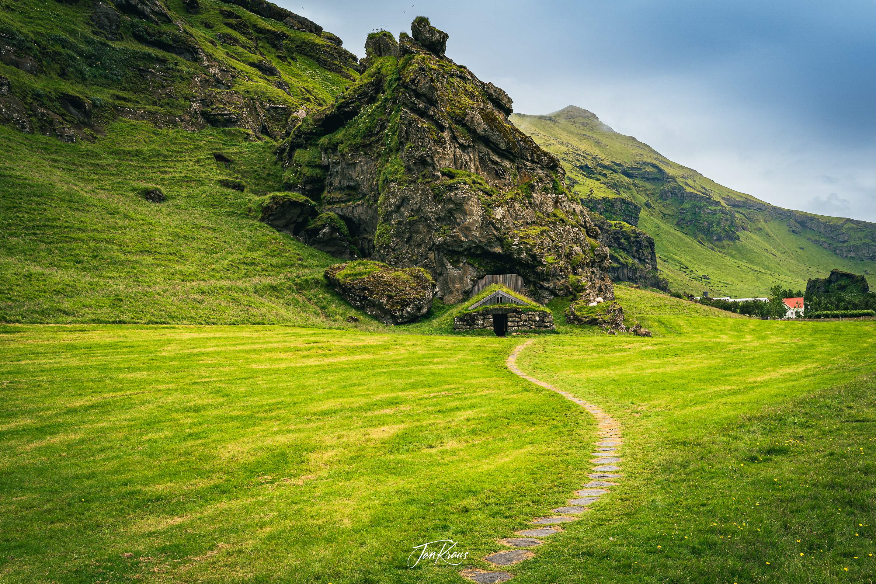
I don’t remember where this was, but on the way, we stumbled upon this beautiful shelter with a small cave behind it. I had no idea how old this was, but it was probably used by shepherds judging from nearby sheep chilling on the step, landing on the side.
Puffins at Dyrhólaey Penisula
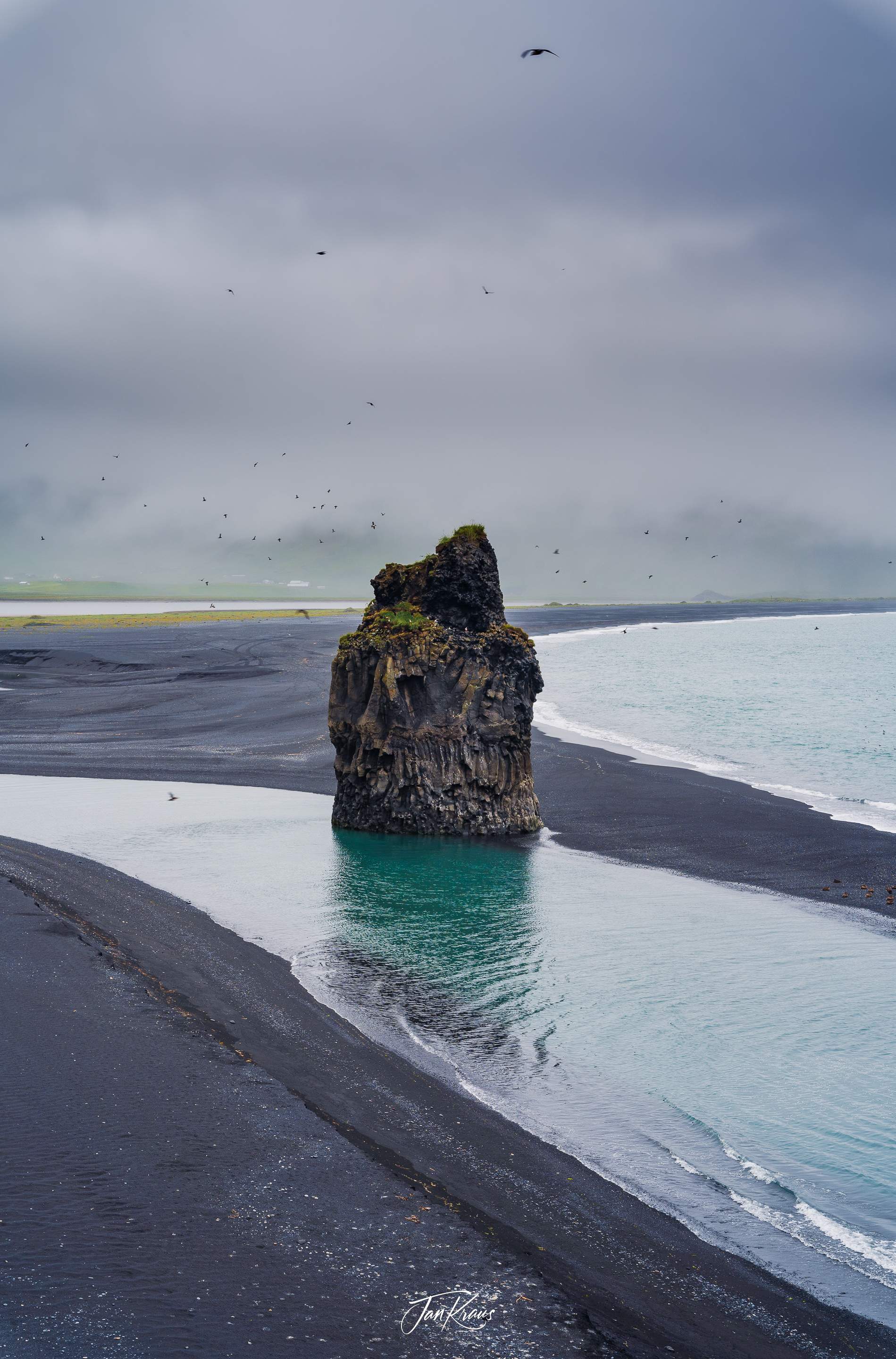
The shoreline appeared a bit gloomy, with black ash on the beach, dark navy blue ocean in the background and hundreds of various birds swirling around a lonely rock formation - Arnardrangur.
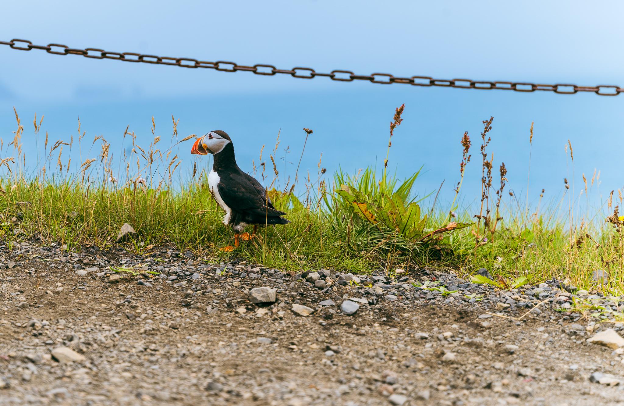
We’ve arrived at Dyrhólaey natural reserve to admire its wildlife, most notably the famous Puffins. The Atlantic puffins are recognisable because of their boldly coloured beaks in the breeding season.
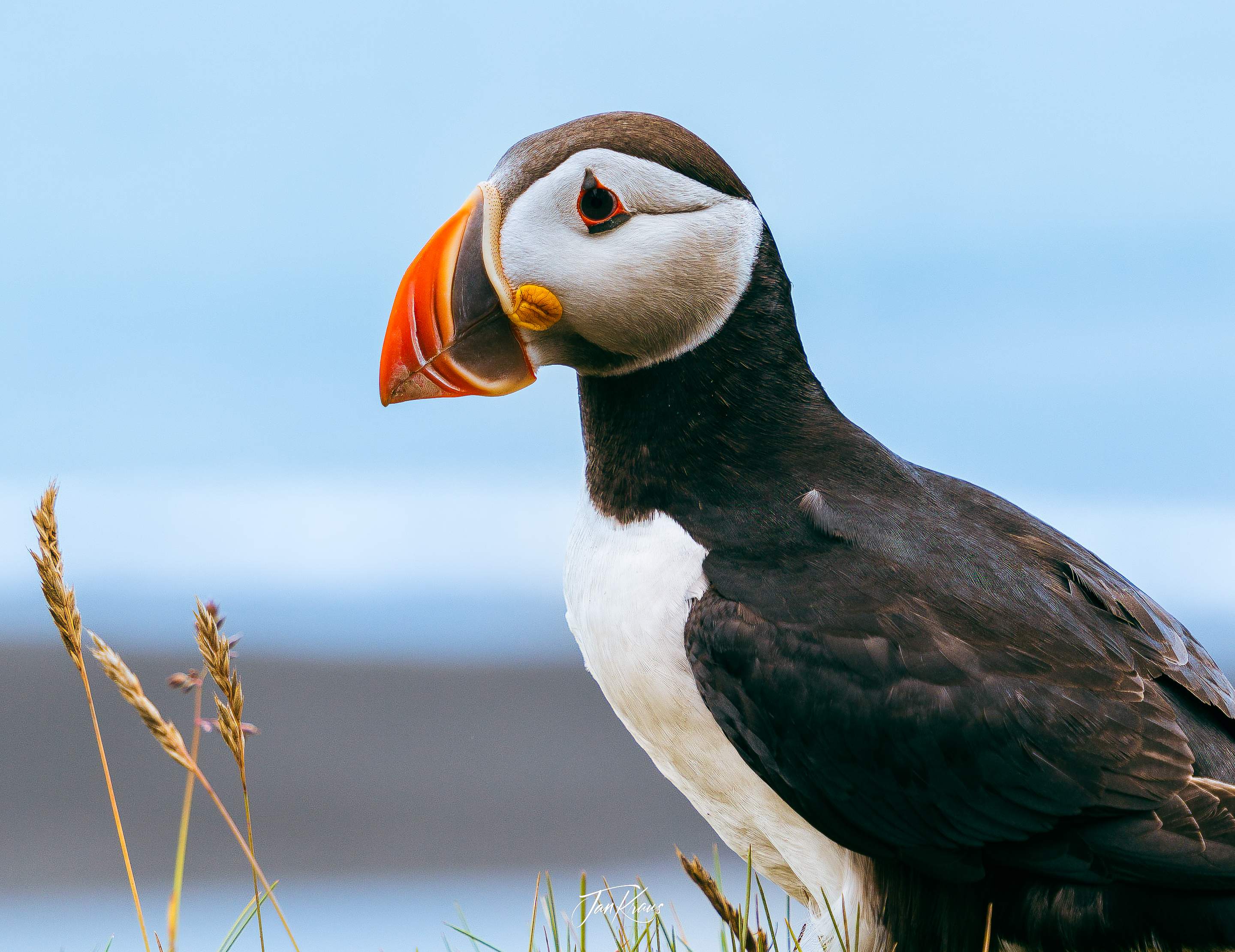
Walking short path at the edges of high cliffs, we could see a large colony of birds nesting on the rocks and in the grass at the border.
Every few moments, a bird would take off to fly above the ocean waters, and at the same time, another bird would land.
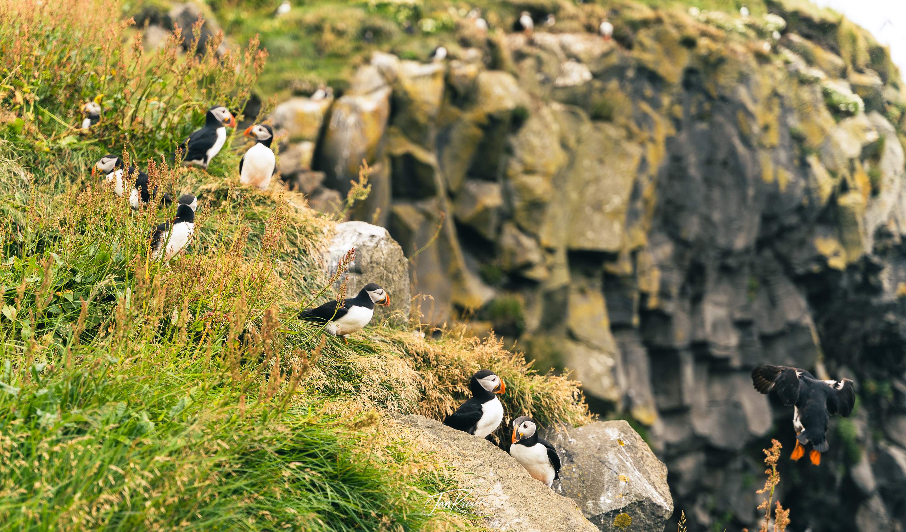
Those were cute little birds.
Hjörleifshöfði and Gígjagjá
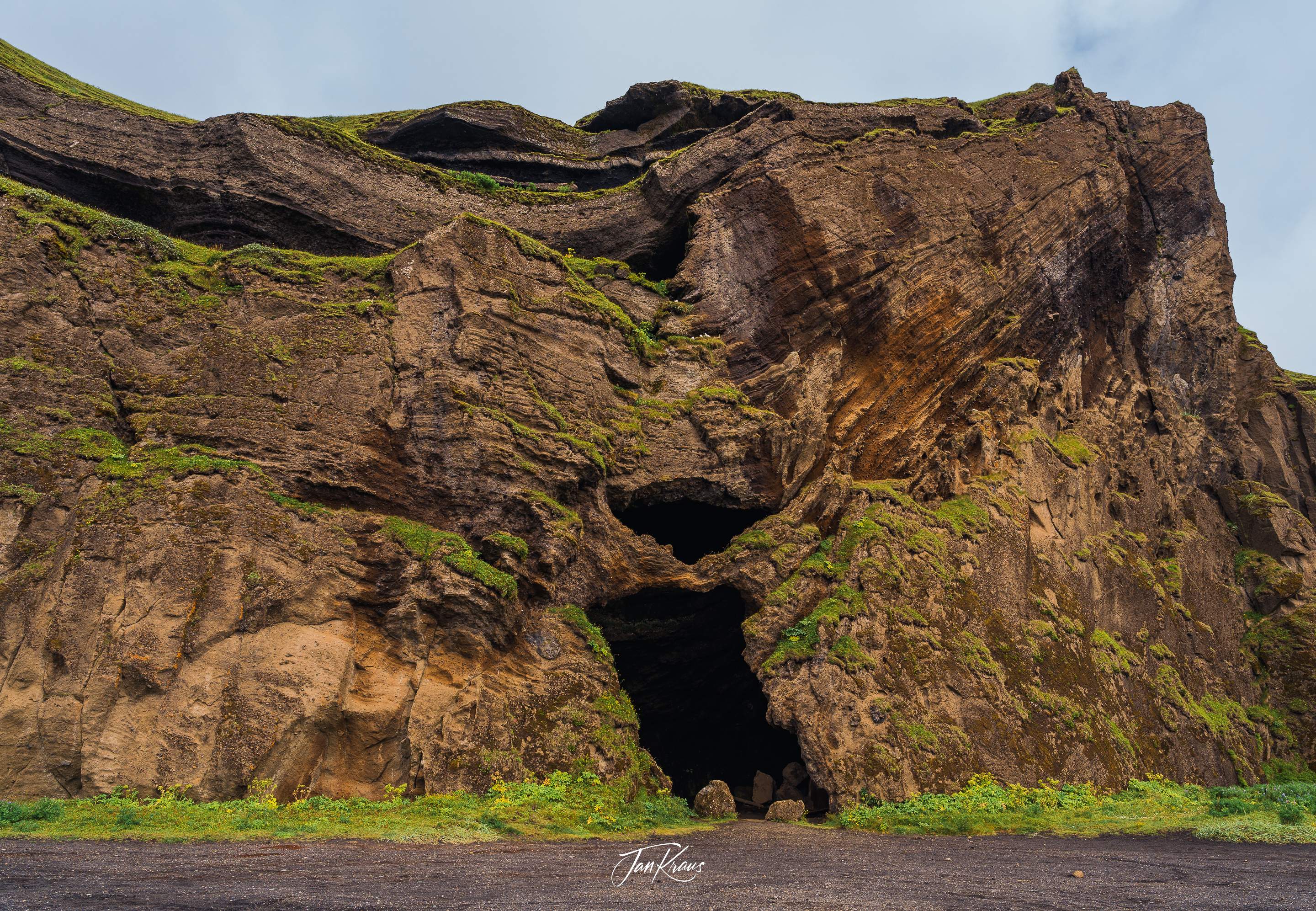
After stopping for lunch at Vik, a small, remote village close to the famous black beach Reynisfjara, we continued east. Not far on the road, we turned south and stopped at Hjörleifshöfði - a gigantic rock formation standing lonely on a black-sand coastline.
The nearby cave - Gígjagjá - was fascinating. You could see the land masses cut in half, creating a shallow niche in the middle. I could only imagine how thousands of harsh Atlantic weather shaped this place.
Relics from the past
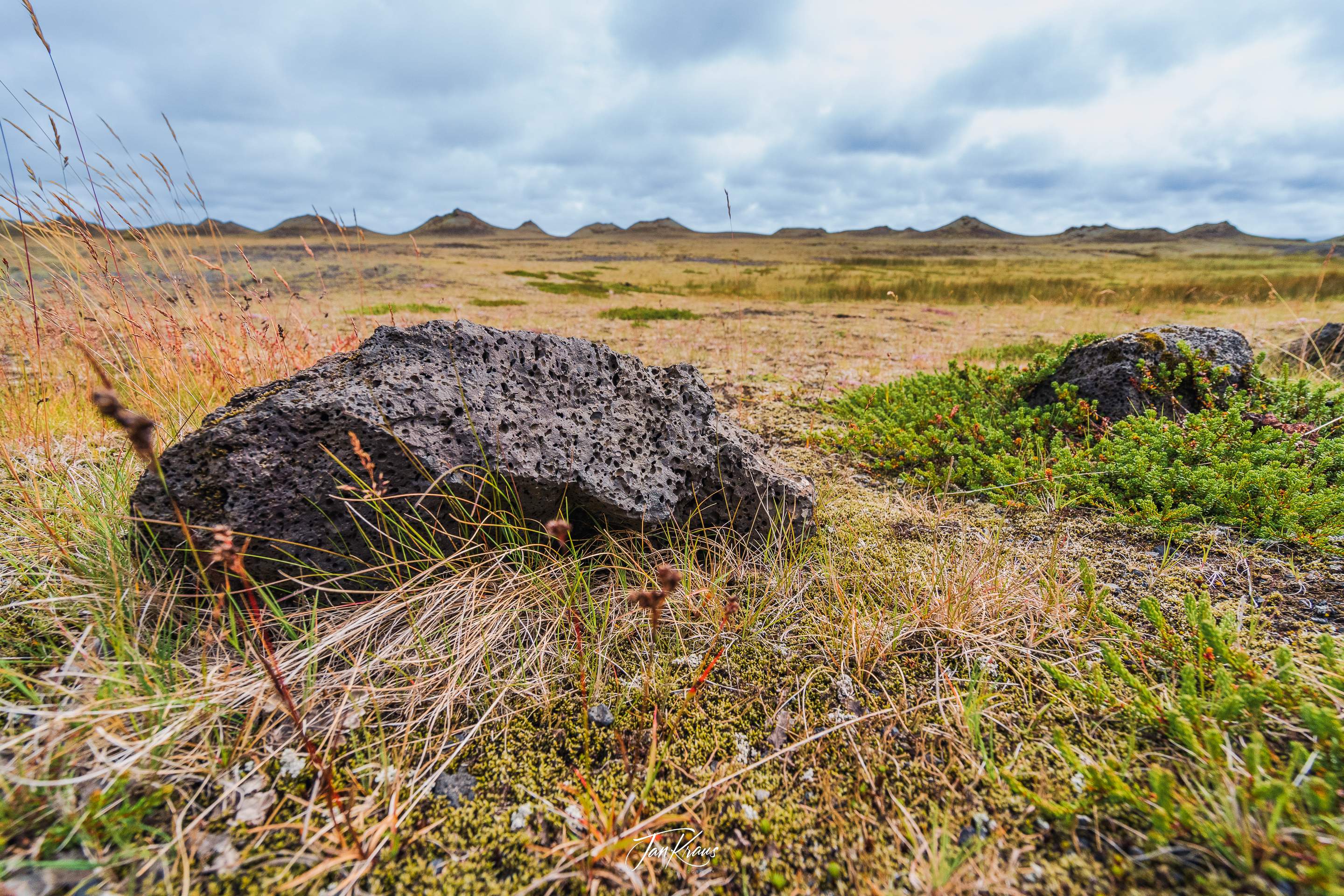
As we drove along the ring road, looking at the environment left and right - everywhere, we could see unique landscapes and rock formations - reminders of the violent volcanic history of Iceland.
This area was shaped by Katla - a large and active volcano partially covered by the Mýrdalsjökull glacier.
You could look far on the horizon or just in front of your feet. There was always something.
Laufskálavarða
One interesting place we stopped at was Laufskálavarða - a lava ridge surrounded by many stone cairns. I had no clue if they were natural or not.
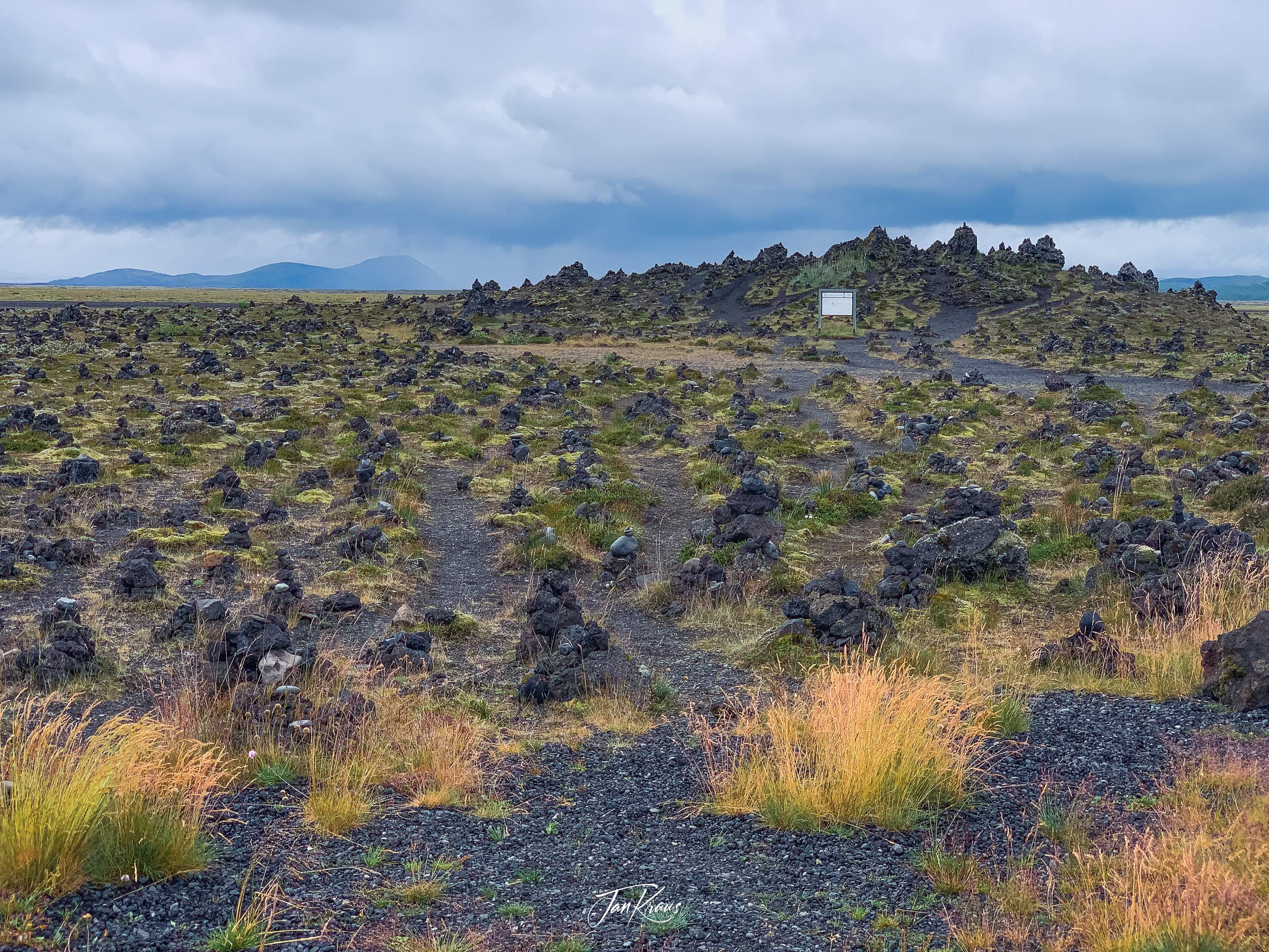
I learned that apparently, in the past, travellers crossing the desert of Mýrdalssandur for the first time would pile stones forming tiny heaps, supposedly bringing them good fortune on their journey.
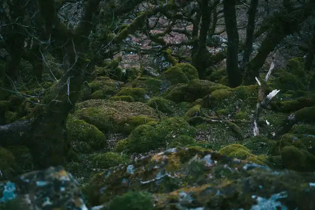
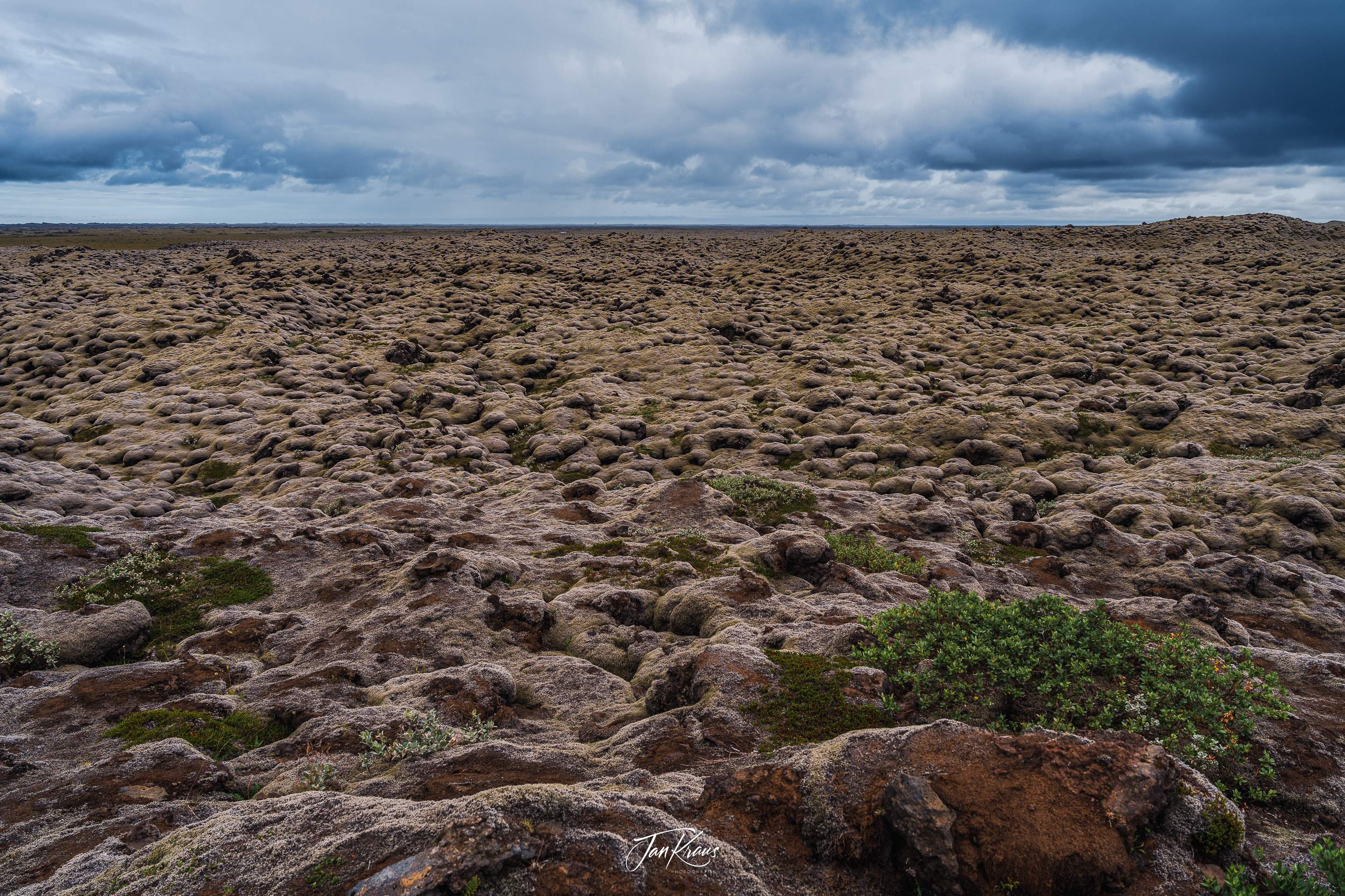
Another exciting sight was almost endless fields of solidified lava stretching to the horizon, covered with green moss and lichens.
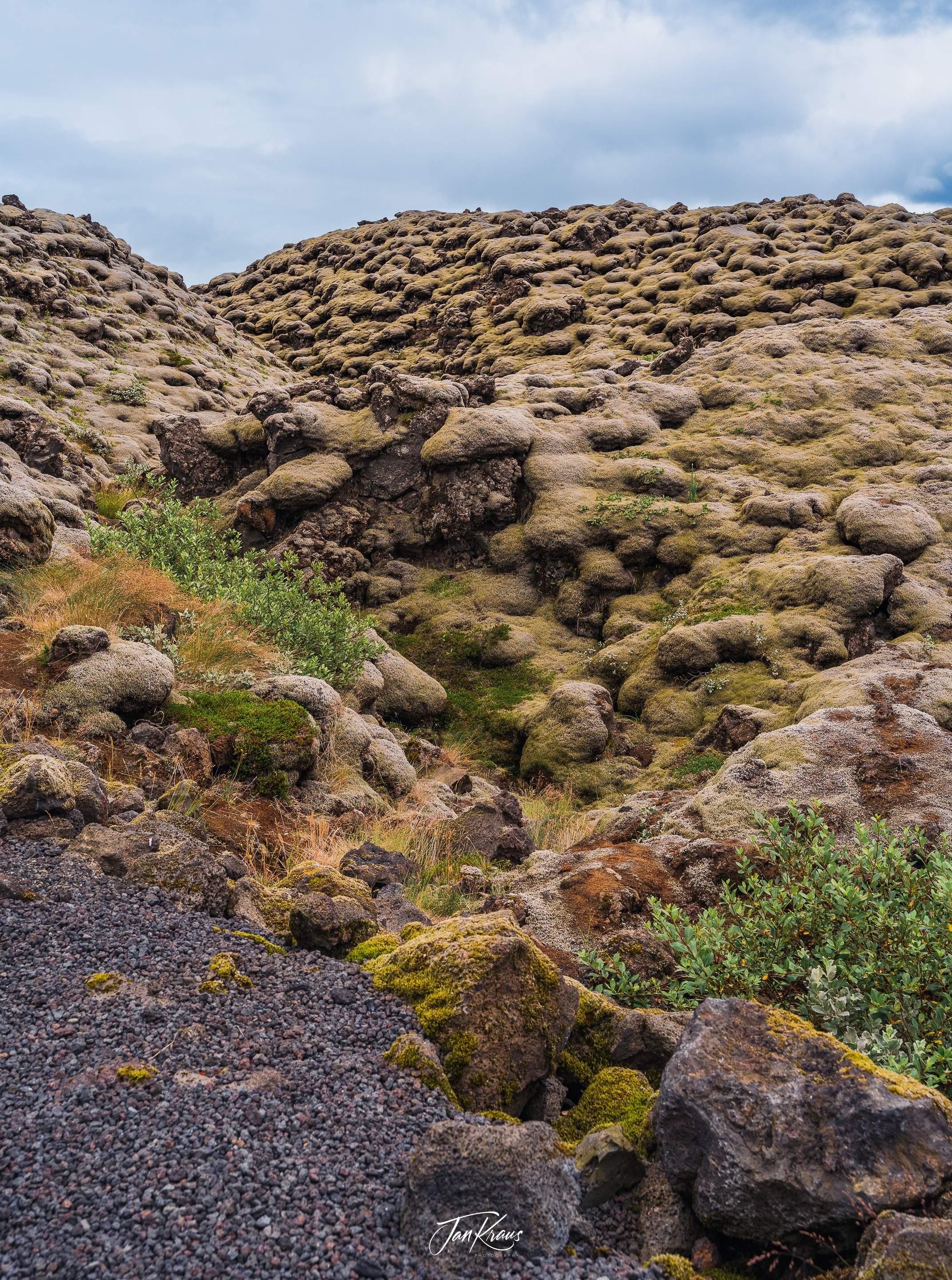
Sometimes I tried to imagine how these were shaped, but it was hard to comprehend. The road led for many kilometres through those fields (Eldhraun and further Skaftareldahraun)
Fjaðrárgljúfur Canyon
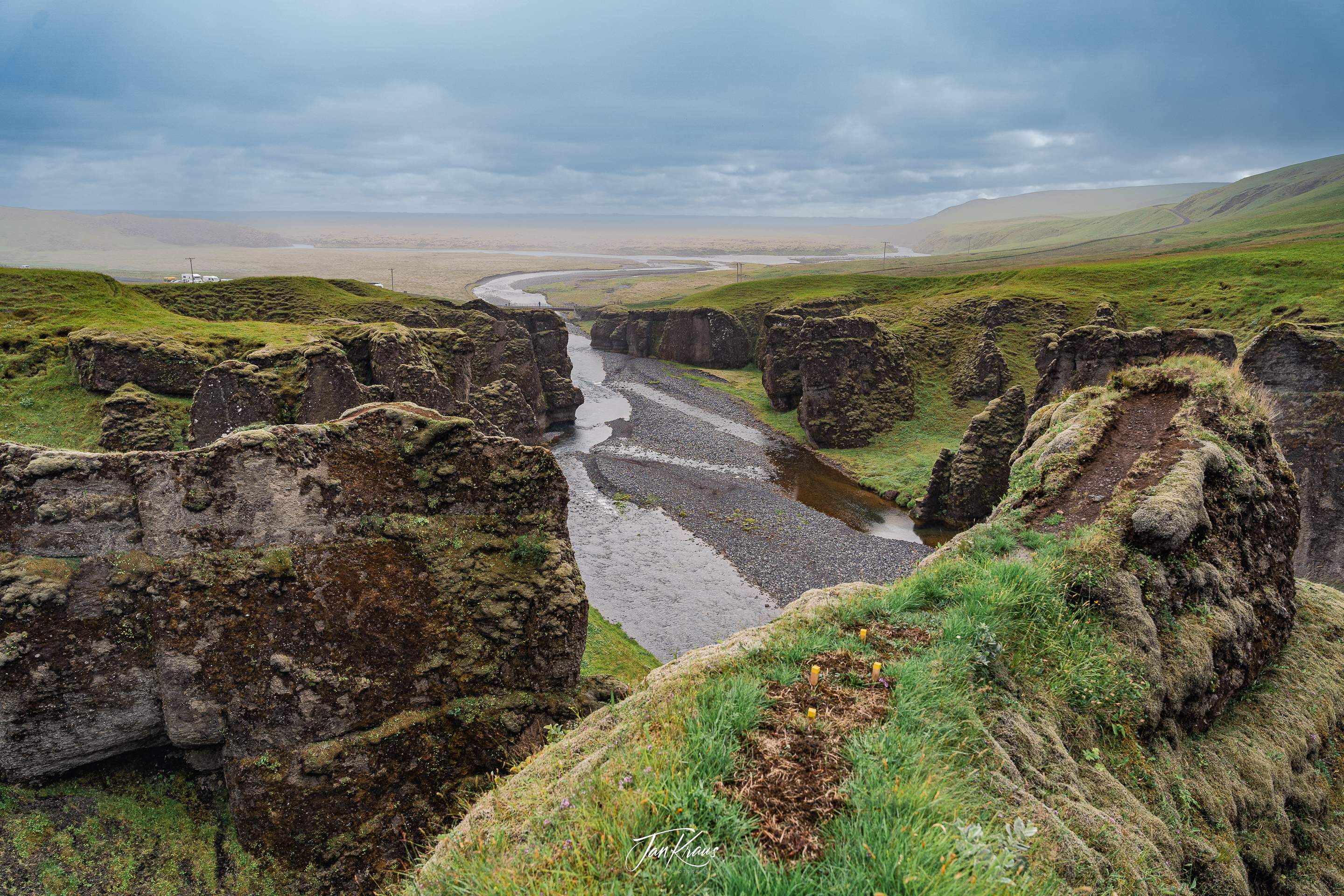
For the next stop, we arrived at Fjaðrárgljúfur Canyon by taking a slight detour north from the ring road. Unfortunately, it started to rain, and we’ve only managed to do a short stroll to the edge.
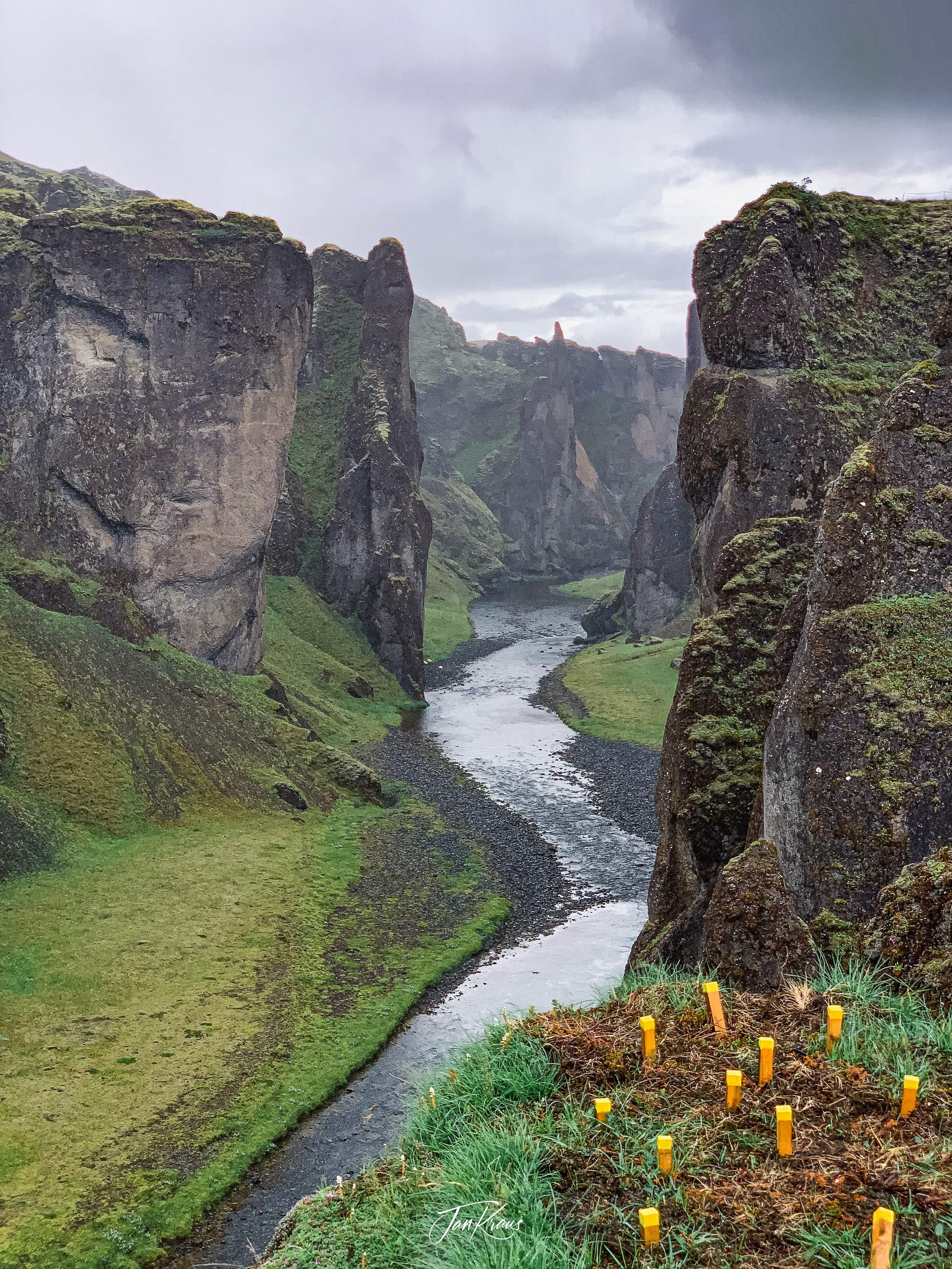
It’s a beautiful place. Sadly I also learned that it’s utterly overcrowded due to some dumb music video from Justin Bieber, which brings fans to follow his steps. I realise that everyone has the same right to visit the places, and nature is available to everyone. Still, regrettably, it also significantly impacts such fragile sites.
Vatnajökull glacier

As the day was ending, we headed to the following Airbnb location. We passed our final destination - the magnificent Vatnajökull glacier.
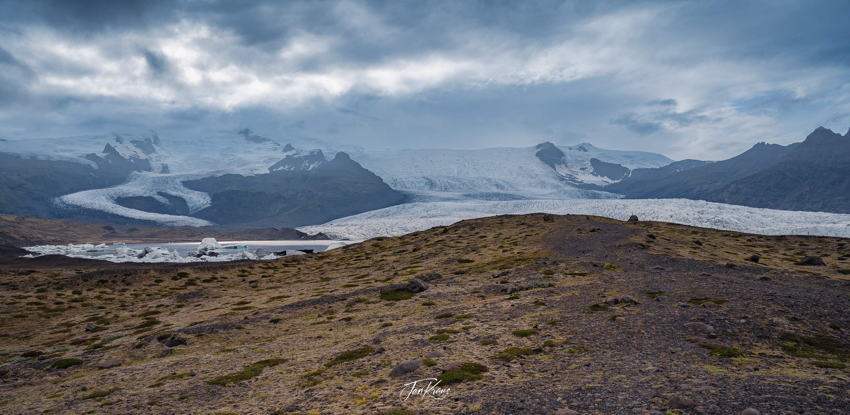
We took a small, unnamed road towards the terminus. We arrived at this peaceful, silent lagoon where we could sit and admire this great formation.
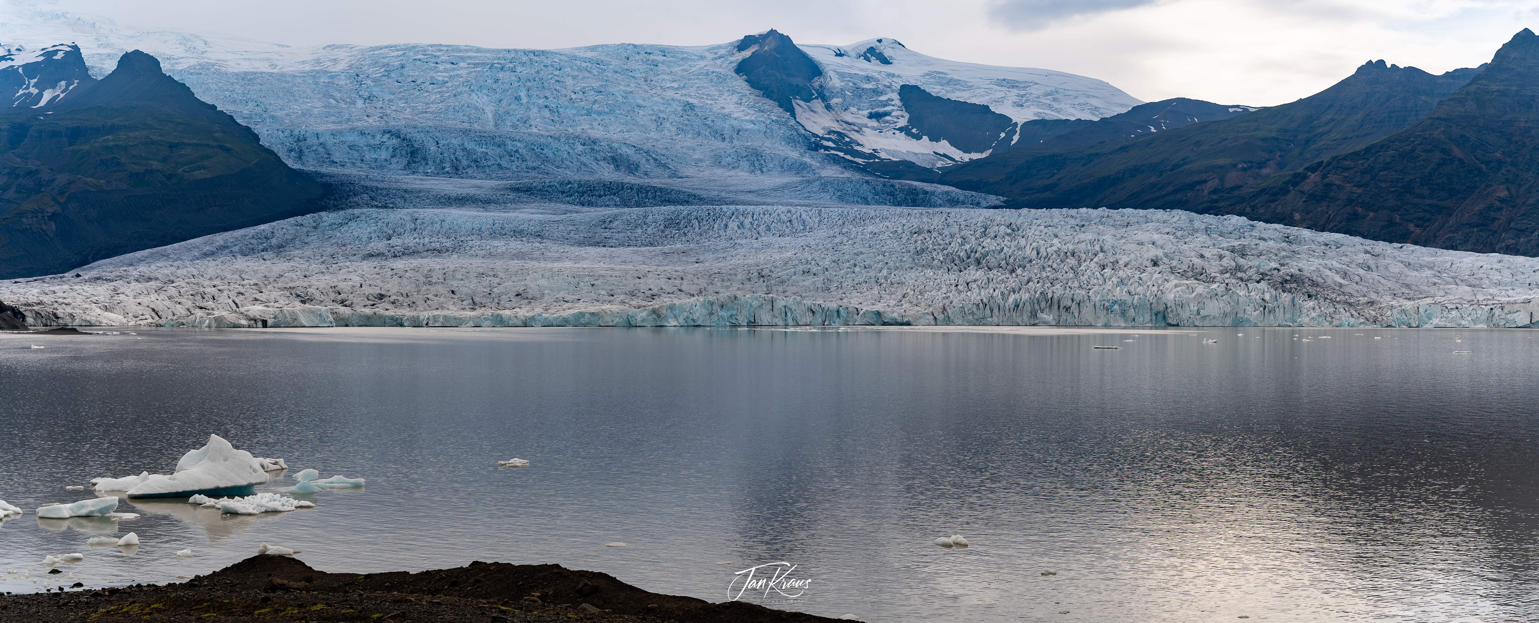
Again, sadly, this glacier and others are receding at unprecedented rates. If we don’t stop climate change, the glacier could be almost gone by the next century.
