At the beginning of June (the long weekend of Queen’s Platinum Jubilee), I left London for a 4-day hiking excursion at Brecon Beacons Mountains in Wales. I planned to hike parts of The Beacons Way - a long-distance walking path running the length of the Brecon Beacons National Park. I didn’t have enough time to cover the entire distance, but it was still an exciting journey.
Preparations
The idea of doing longer-than-usual hikes has been circulating in my head for the last couple of months. I wanted a bit of solitude, some kind of challenge for myself and of course, I was looking forward to experiencing some views of natural landscapes.
The route
I started planning the whole trip in May, knowing that the long weekend was coming at the beginning of June. I researched long-distance hiking routes and found The Beacons Way in the Brecon Beacons mountains in South Wales.
I’ve spent a couple of hours drafting the possible path via Komoot, following the walking trail and came up with something that I was hoping would fit perfectly into 4 days hike with 3 wild camping nights along the way.
Gear
I did some prep earlier, getting necessary gear for camping: tent, sleeping pad & bag, stove, camping food and some essential clothes. I didn’t go for the ultralight gear, which maybe wasn’t the right choice.
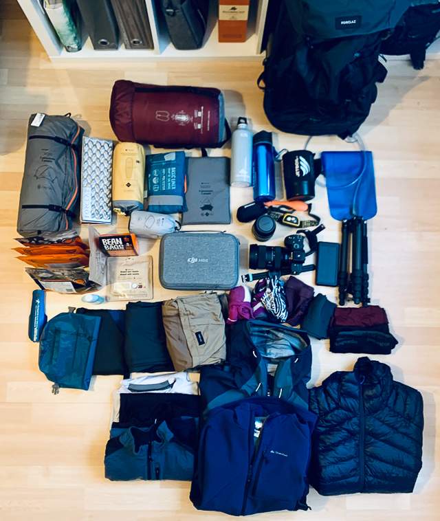
Still, when I packed everything, including my photography gear, the backpack was f****ing heavy.
Nevertheless, I decided that I would try. I told myself that if I fail, I’ll fail. I always had some options to finish it earlier, so it was a relatively safe attempt.
Getting there
Getting to the starting point was itself a bit of a challenge. I didn’t want to rent a car because it would force me to return to where I parked. So instead, I opted for getting to the trailhead at Abergavenny using regular transport.
I took the nightly National Express bus to Newport (only ~11£!) followed by an early morning train from Newport to Abergavenny.
The night & early morning hours were a bit challenging, especially because the first train at 5:30 was cancelled, and I had to wait another hour for the next one.
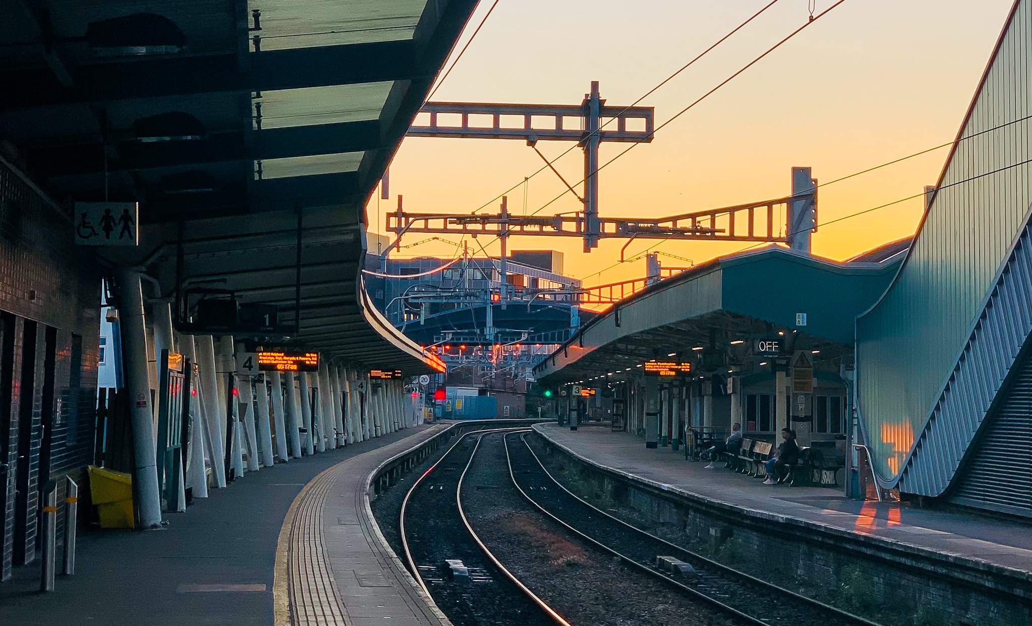
It wasn’t that bad, though; the early morning vibe quickly dispelled the bad mood. A new day began with promising great weather ahead, and I was eager to get going.
Day one - Abergavenny to Llanthony and further
I started the hike early, around 7AM, from the train station in Abergavenny, a small town in Wales on the southeast edge of the Brecon Beacons National Park.
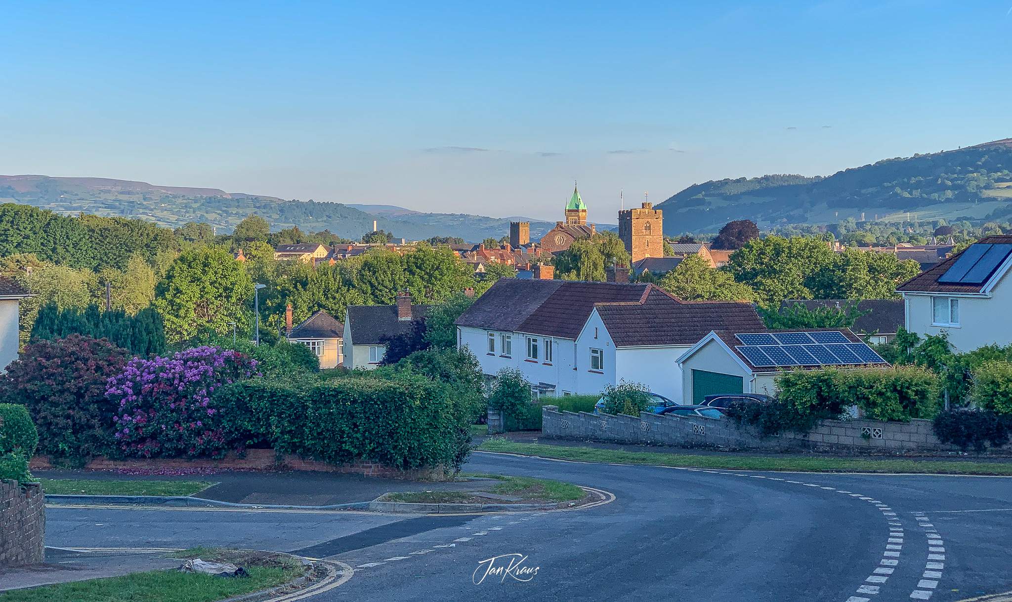
It took around 1,5 hours to walk through the outskirts of the town towards the parking at the foot of Skirrid Fawr mountain, where the Brecon Beacons path actually starts.
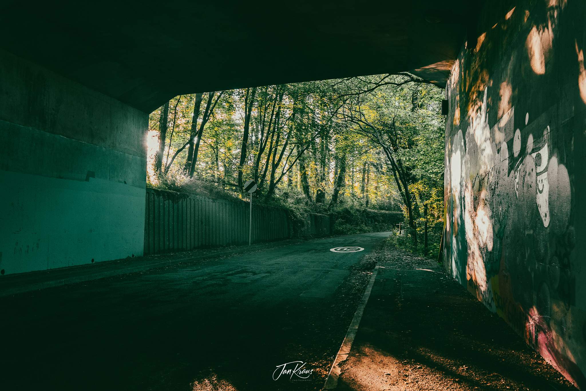
Surprisingly this was a pretty enjoyable part. Everything looked good in the morning light, and I was also in a good mood with the excellent weather around.
Skirrid Fawr
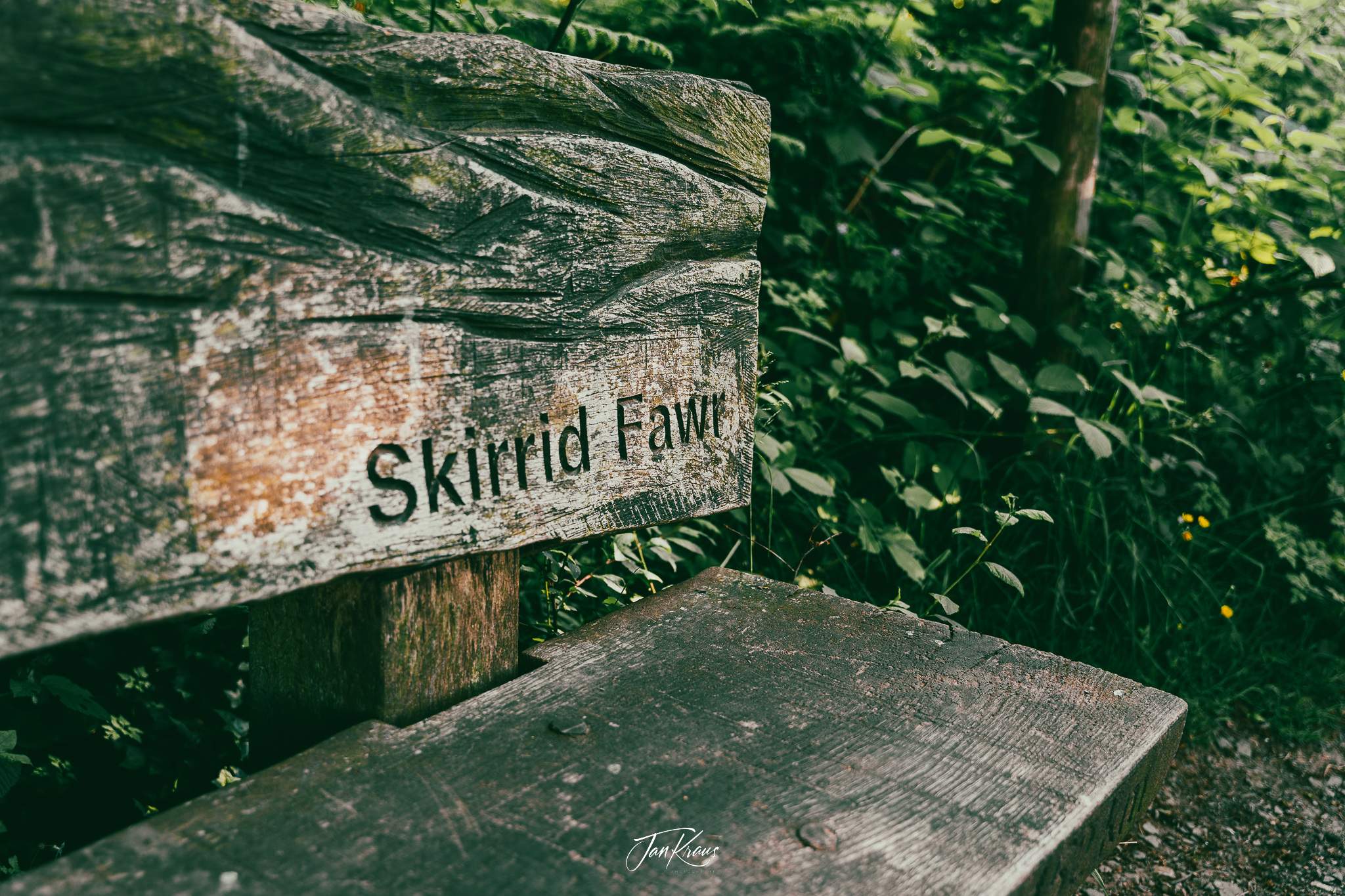
Locally referred as “The Skirrid”, the hill is just 486m in height, but it was a pretty steep climb. It took me good 45 minutes to get to the ridge on top. It felt challenging, and I began to feel the backpack’s weight.
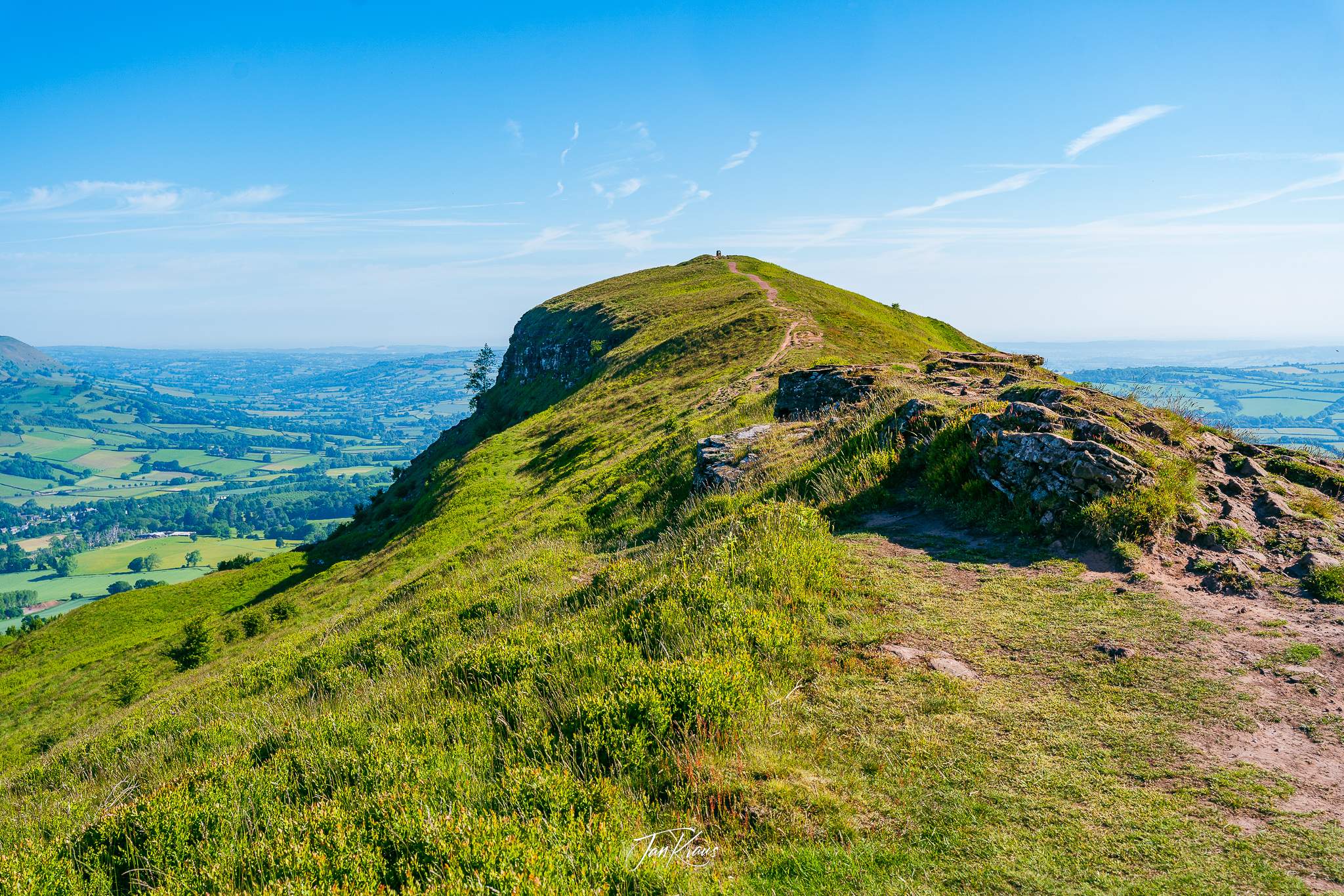
But the views on the top rewarded the struggle. The hill offers excellent views in all directions, with Abergavenny behind and some smaller villages, farmland and fields around.

I spent some time on the top, resting, chilling and admiring the views.
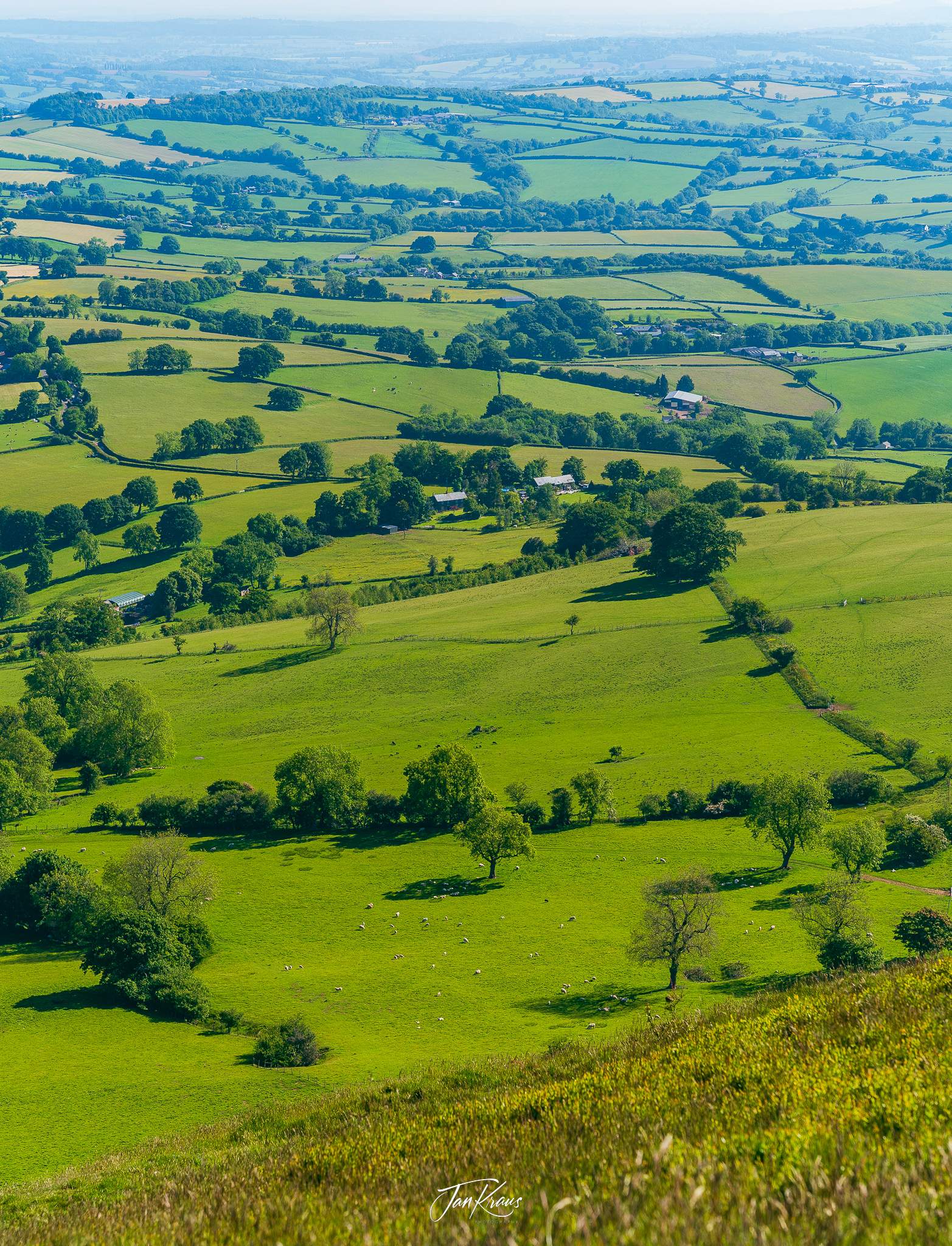
Walking through farmlands
The next couple of hours were maybe less attractive. I continued walking through some farmlands, passing the small village of Llanvihangel Crucorney.
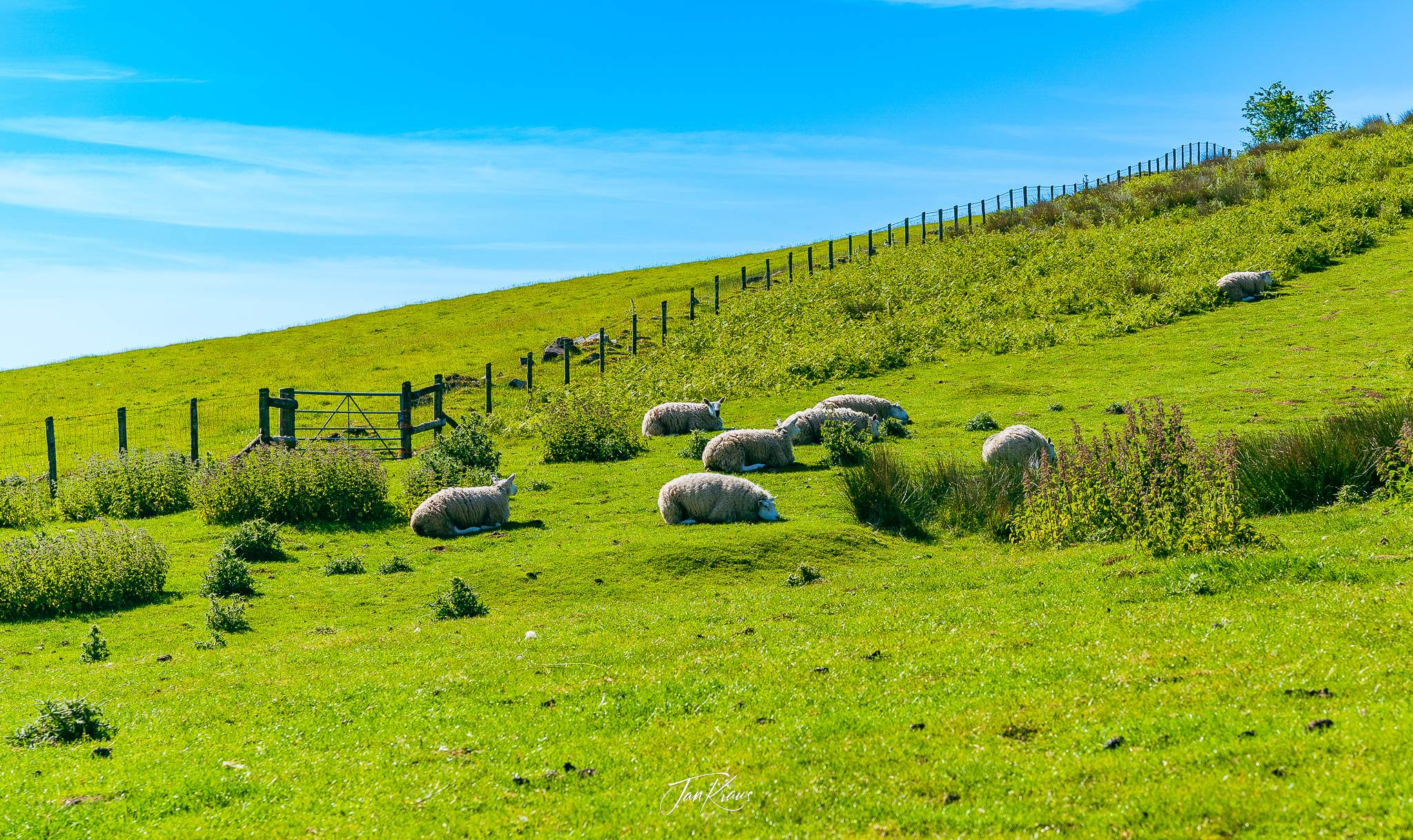
It was a bit dull walk. The sun was high. It was the middle of the day, hot, and a little bit smelly from the sheep poop.
In the early afternoon, I started climbing toward Hatterrall Hill. After climbing a little bit above the pastures, I started to feel tired. The sleep deprivation from the night travel caught up with me, and I had to do some rest. I stopped for a bit on some comfy grass stop, ate some food and literally took a 20-30 minutes nap.
Hatterrall Hill
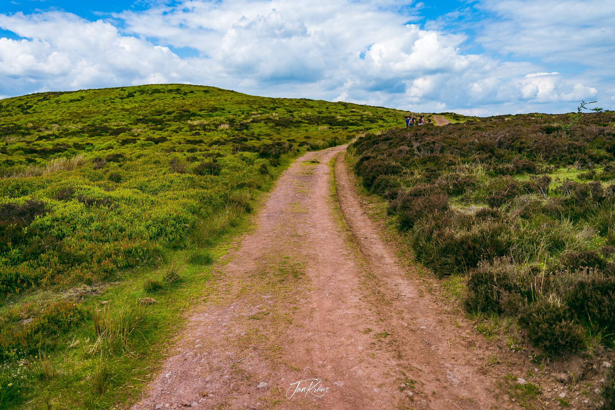
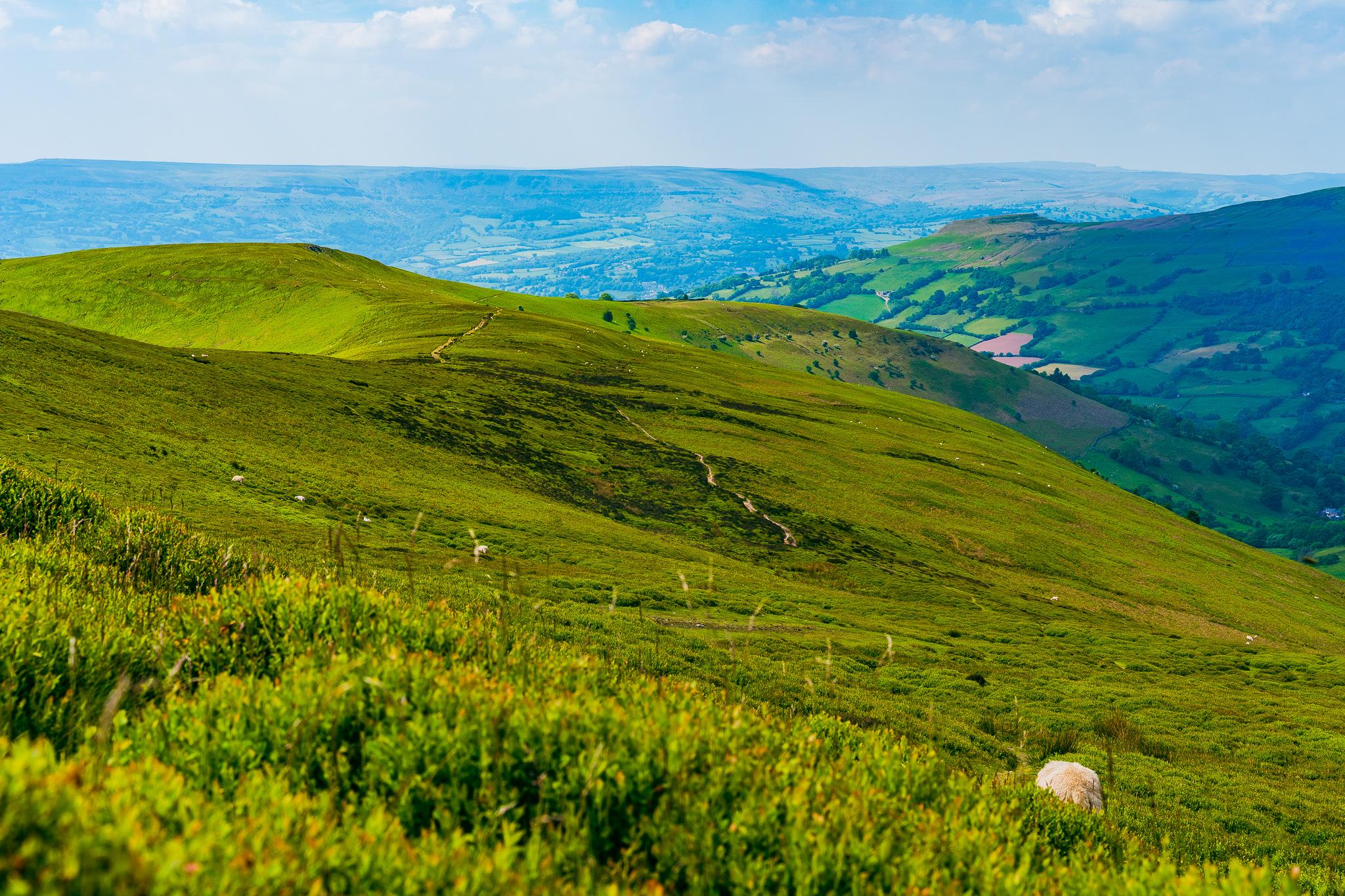
Feeling refreshed and regained some energy, I continued walking along the long ridge. The views cleared, and the hill was primarily covered in short grass, clumps of blueberry bushes and some shrubs.
Along the way, I had a fantastic experience spotting a couple of wild horses grazing nearby.
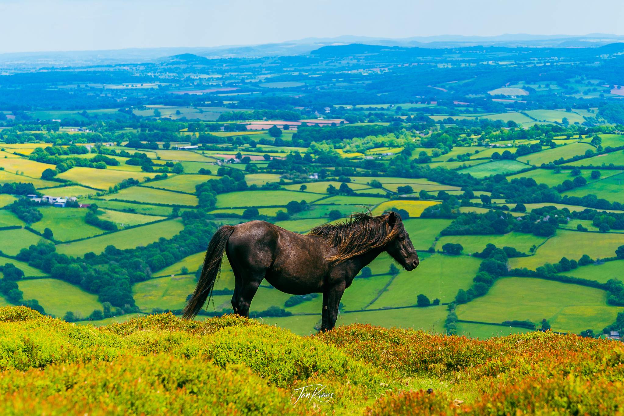
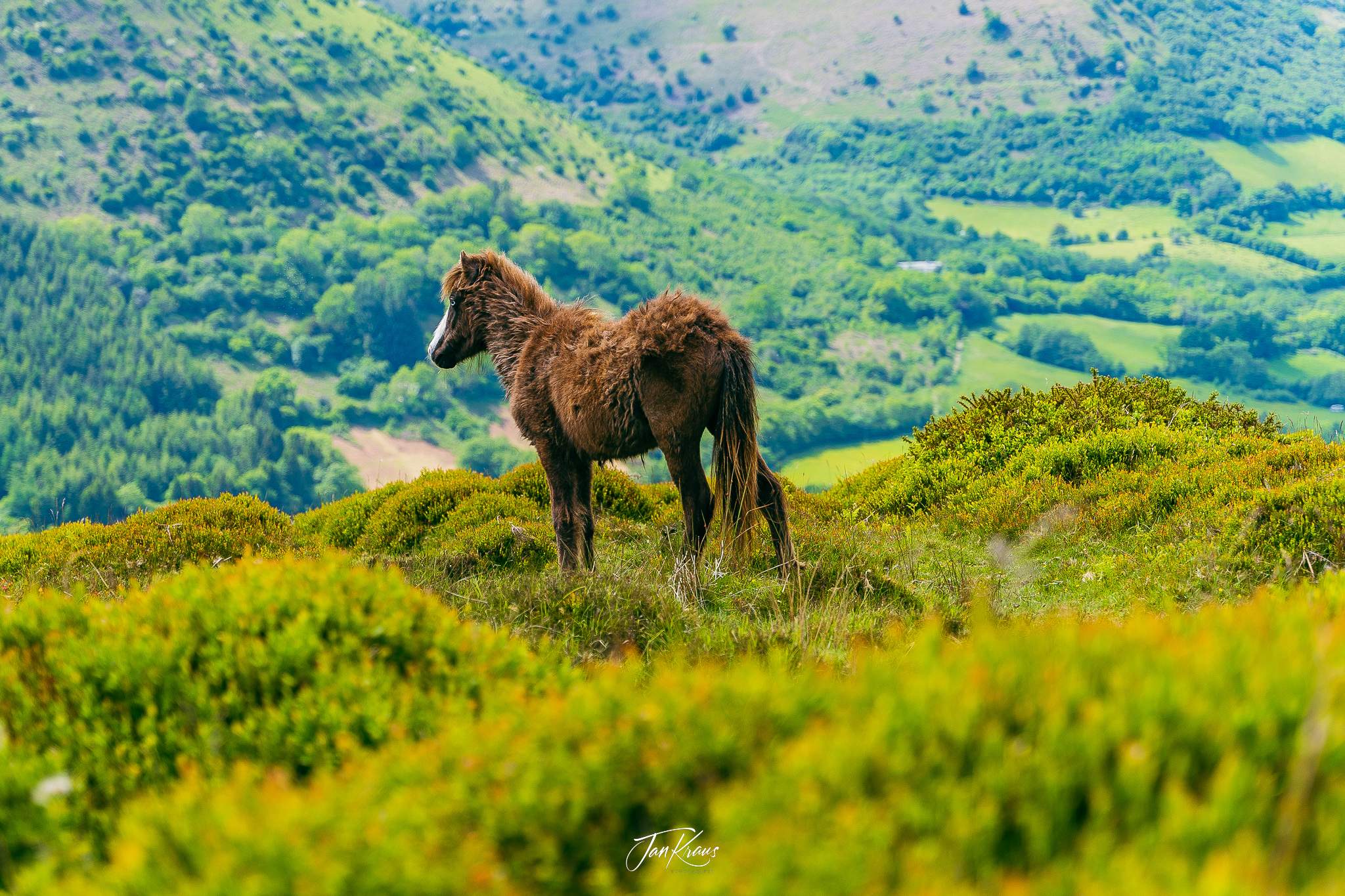
The path started to slowly descend towards the small village of Llanthony. I walked further, feeling more and more tired. I was almost 7 hours into the hike and +20km of distance.
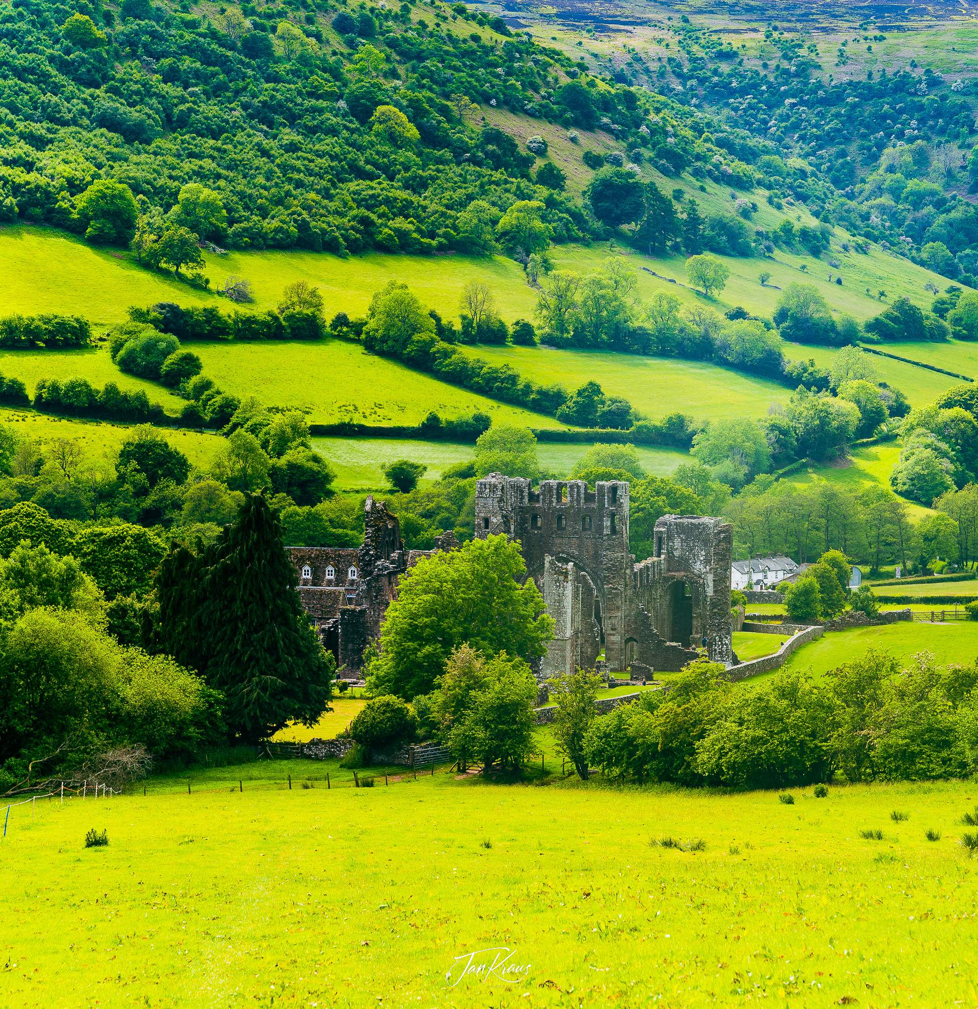
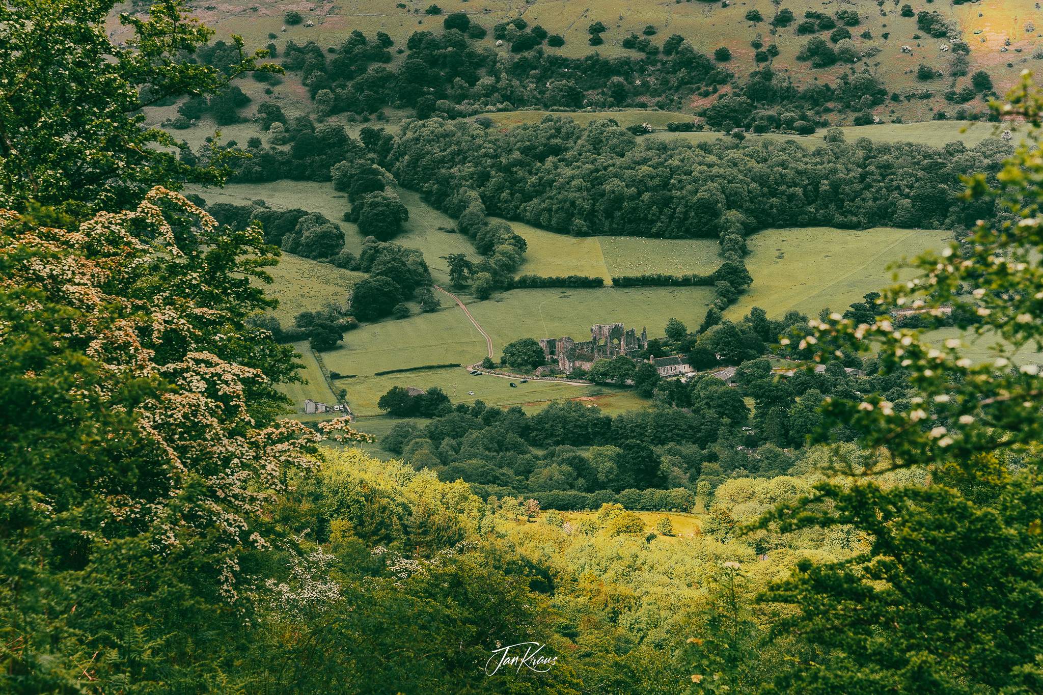
I was greeted by the views of Llanthony Priory - a partly ruined former Augustinian priory from the medieval era.
Yes! There was a small counter selling some snacks and beer! A pint of cold, local ale was refreshing, along with a slice of cake and a pack of crisps.
After a break, I left for the last remaining part of the hike for the day. Climbing up from the valley of Llanthony to the ridge of Chwarel y Fan. It wasn’t easy - almost 300m of elevation gain after a whole day of walking. But I managed it, and one hour later, with my base layer soaked in sweat, I reached the ridge.
Again, after some rest, I walked along the path, looking for a spot to camp. After around 15 minutes, I settled for a field on the right side of the trail, nicely hidden from the path.
I actually had to move the tent twice, first because the ground was too rocky to insert the pegs, and second because the ground wasn’t flat. I was sliding on the mat when I checked my sleep setup.
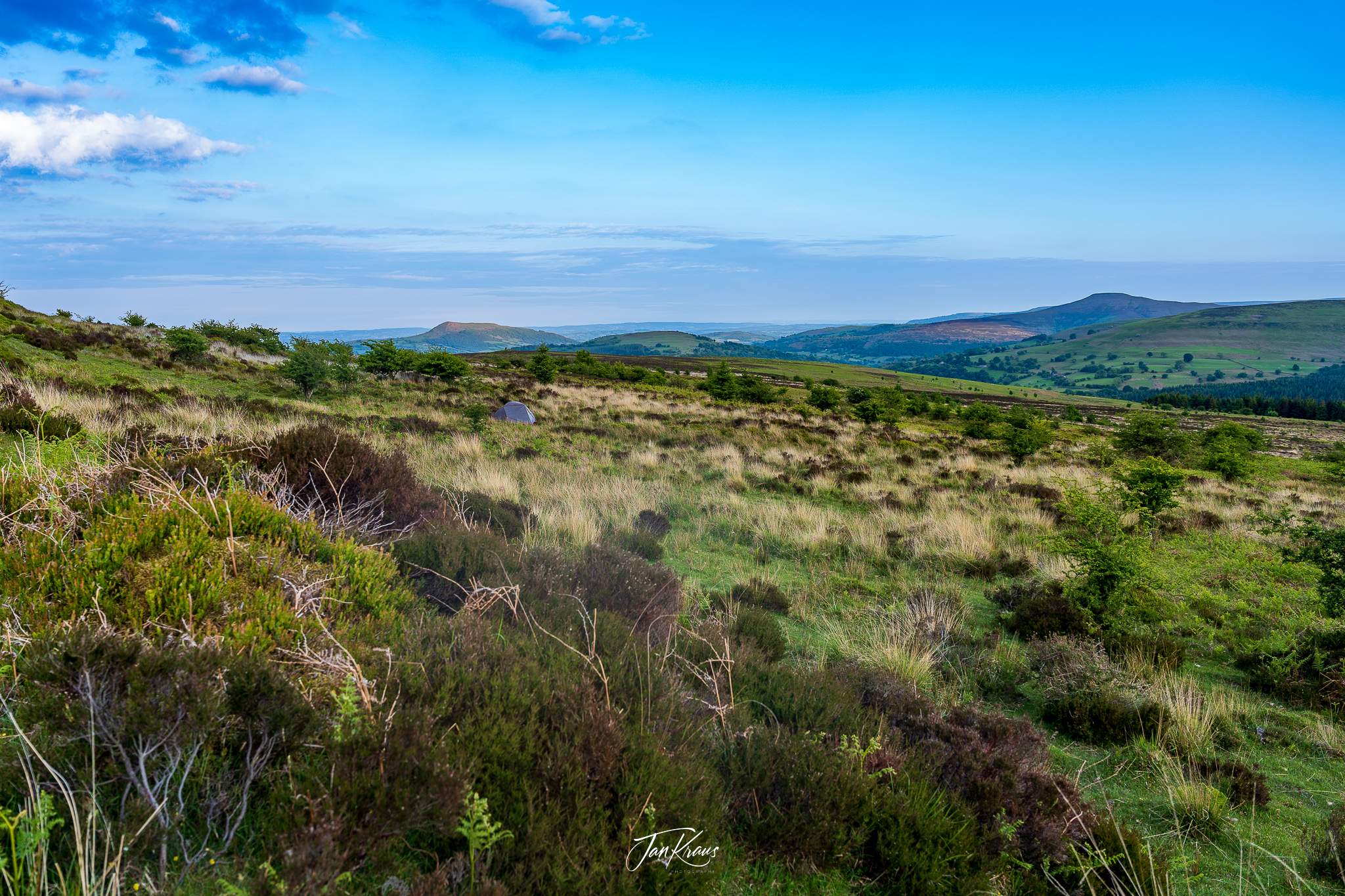
I have to admit I set the camp a bit too early. I think it was maybe only 8PM, but I was dead tired, and all I wanted was to get something to eat and rest. I’ve had a quick dinner, eating rehydrated mac and cheese, which tasted great, had some tea and relaxed for a while.
After a short evening cleaning routine, I quickly fell asleep.
Day two
The next day I woke up to a beautiful morning and some curious visitors. A group of wild horses was grazing nearby, and they were definitely interested in inspecting my spot.
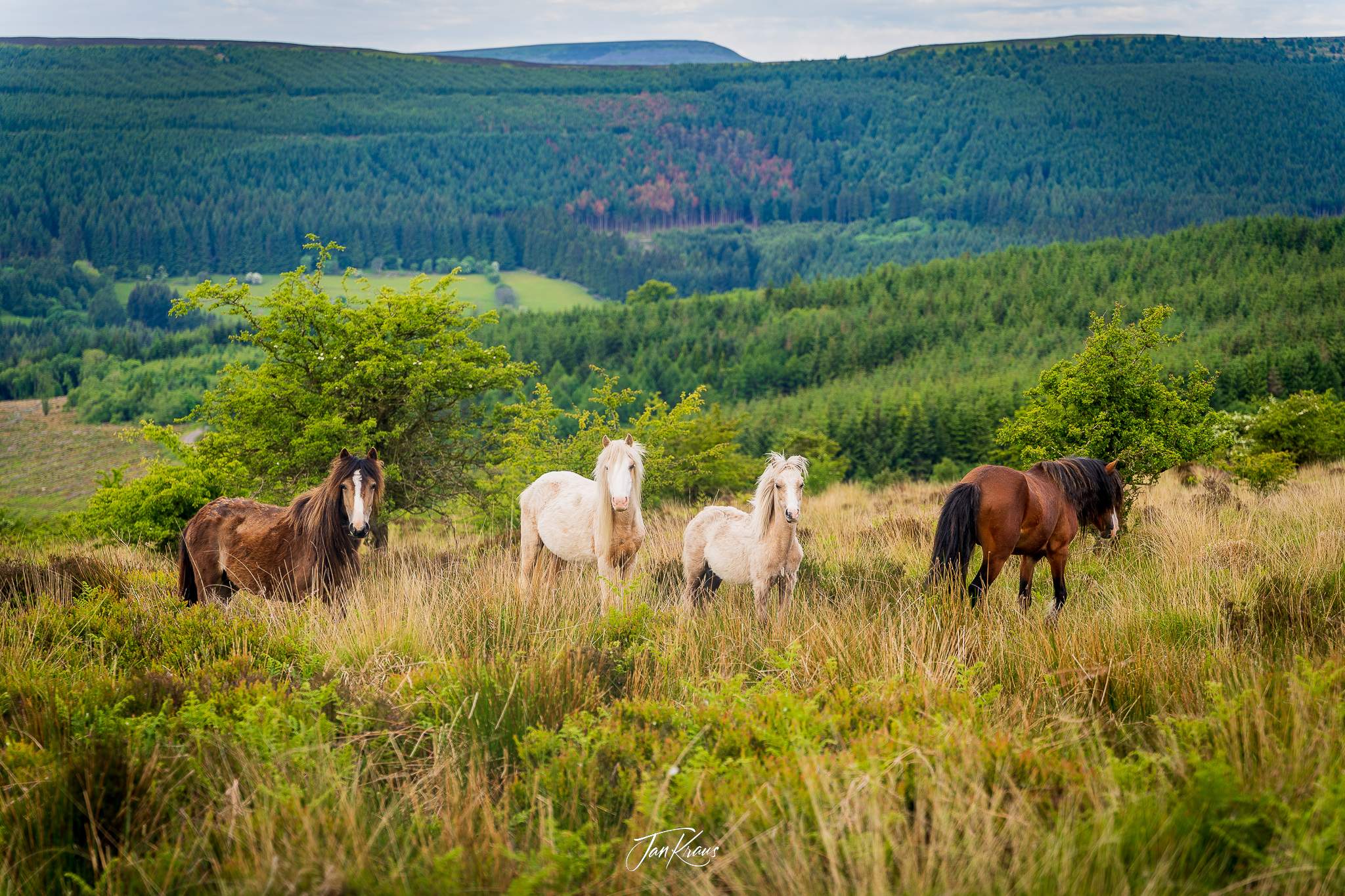
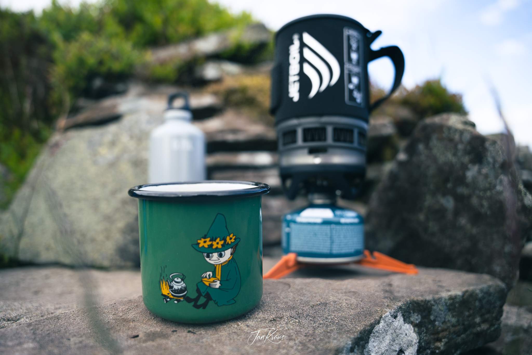
We spent around half hour observing each other. When the horses finally moved, I packed up the tent and got some small breakfast: a rehydrated oatmeal and a coffee. I wished I could have a bit more coffee, but my water was limited (and I wasn’t sure when I could refill it), so I had to limit it to just one cup.
Morning hike
The beginning part of this hike was relatively easy. The trail was a gentle, relatively easy path, first still along the ridge and later descending towards some villages.
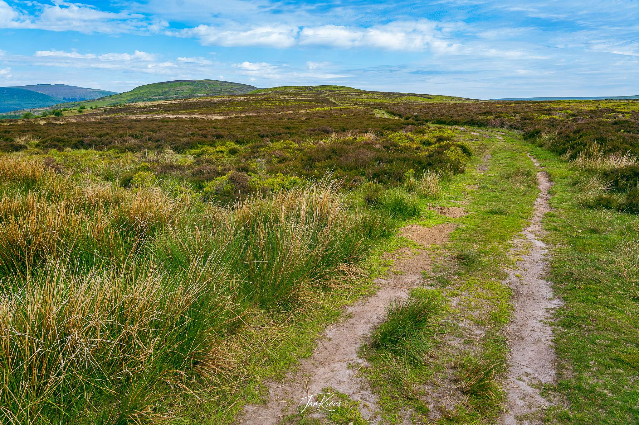
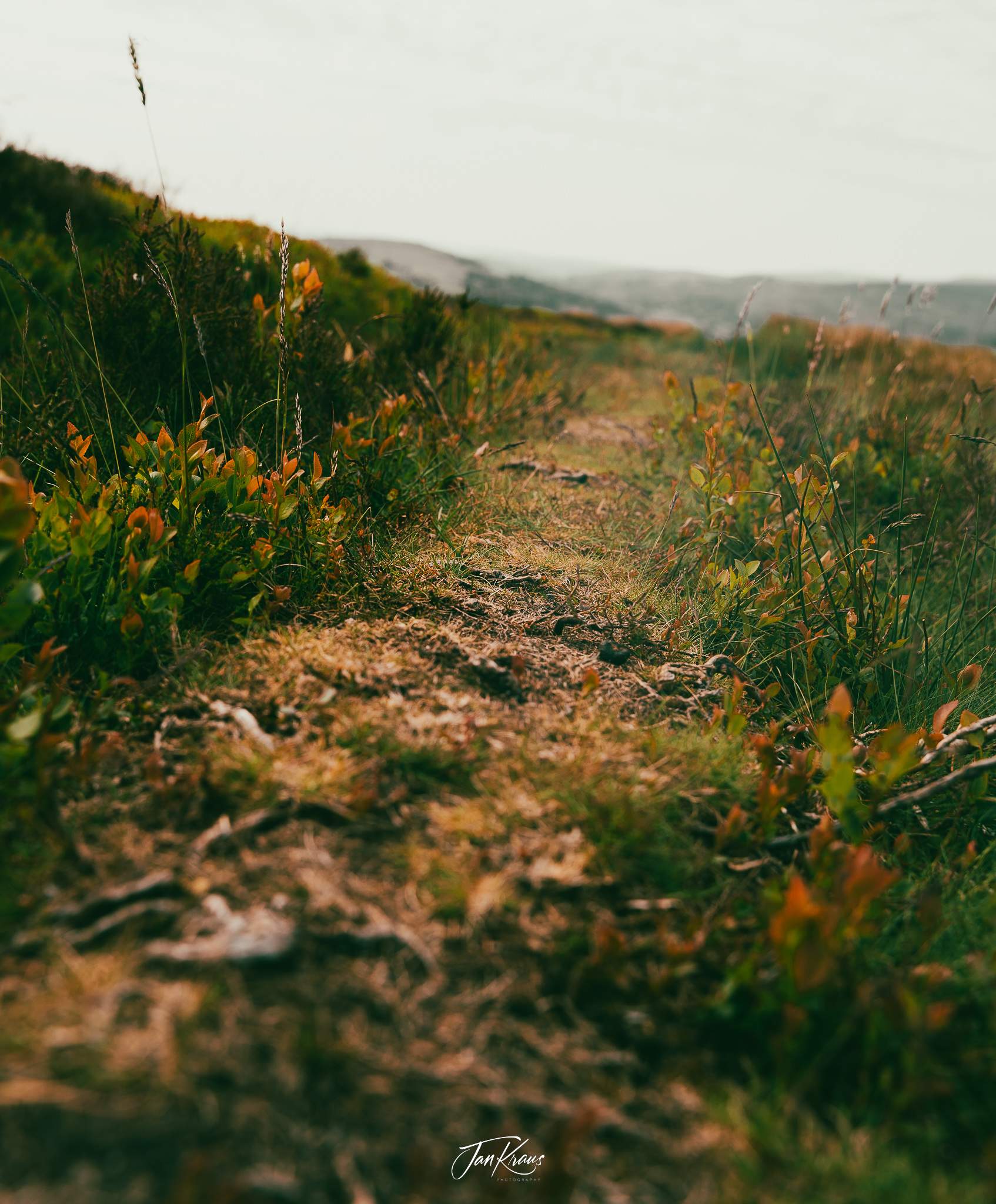
I enjoyed the peacefulness of the morning. I only passed a couple of hikers going in the opposite direction. My mood was okay. I managed to capture some lovely-looking details of the surroundings.
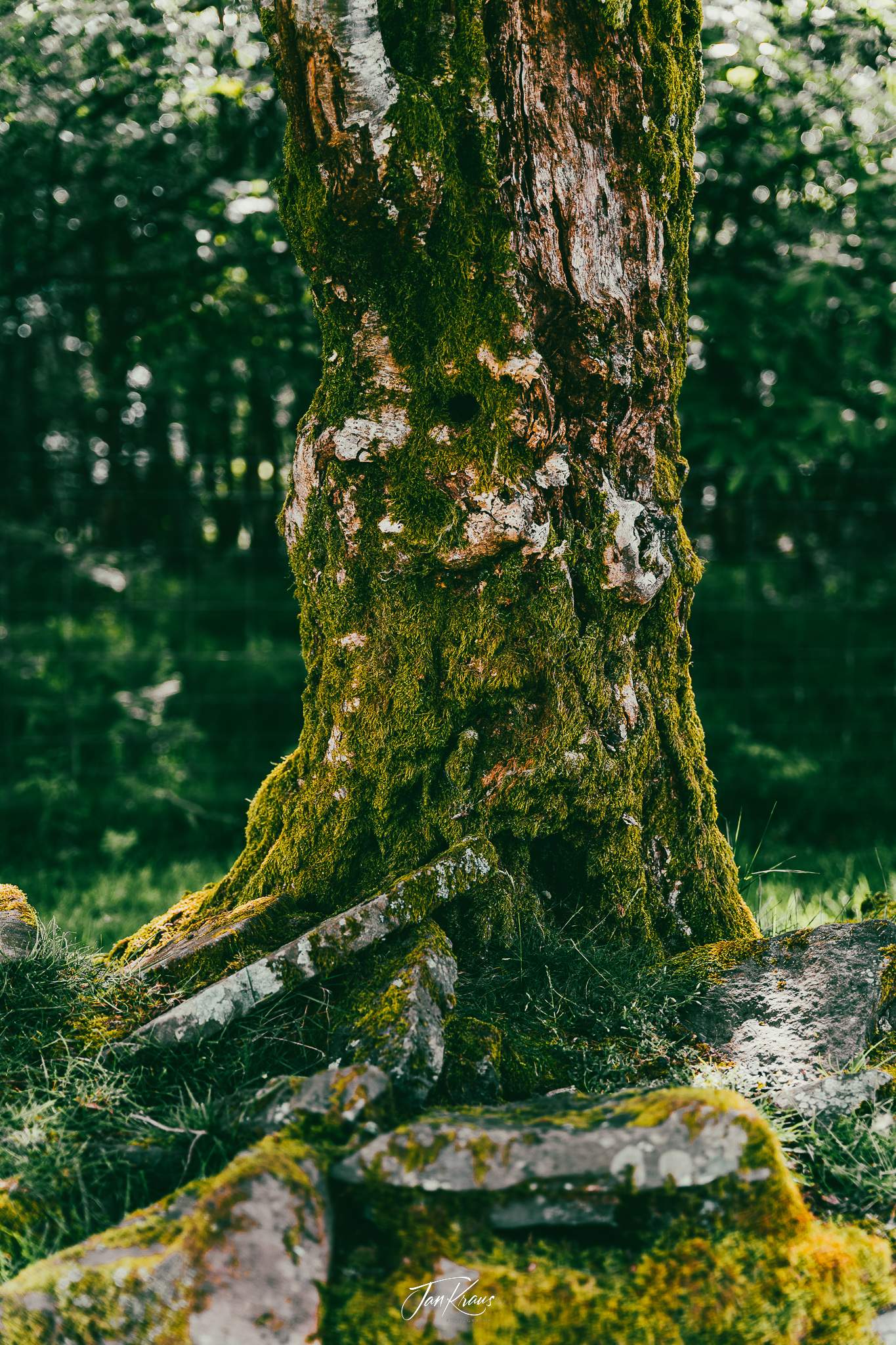
When I was getting closer to settlements, I spotted a fragment of beautiful, ruined pieces of some old stone wall with stones and trees covered with green moss. Looked stunning!
Midday hike
I have to admit that my good mood didn’t last long. Only after a couple of hours of walking I’ve begun to feel the weight of my backpack. It was also getting warmer, and the heat from the sun began to be noticeable.
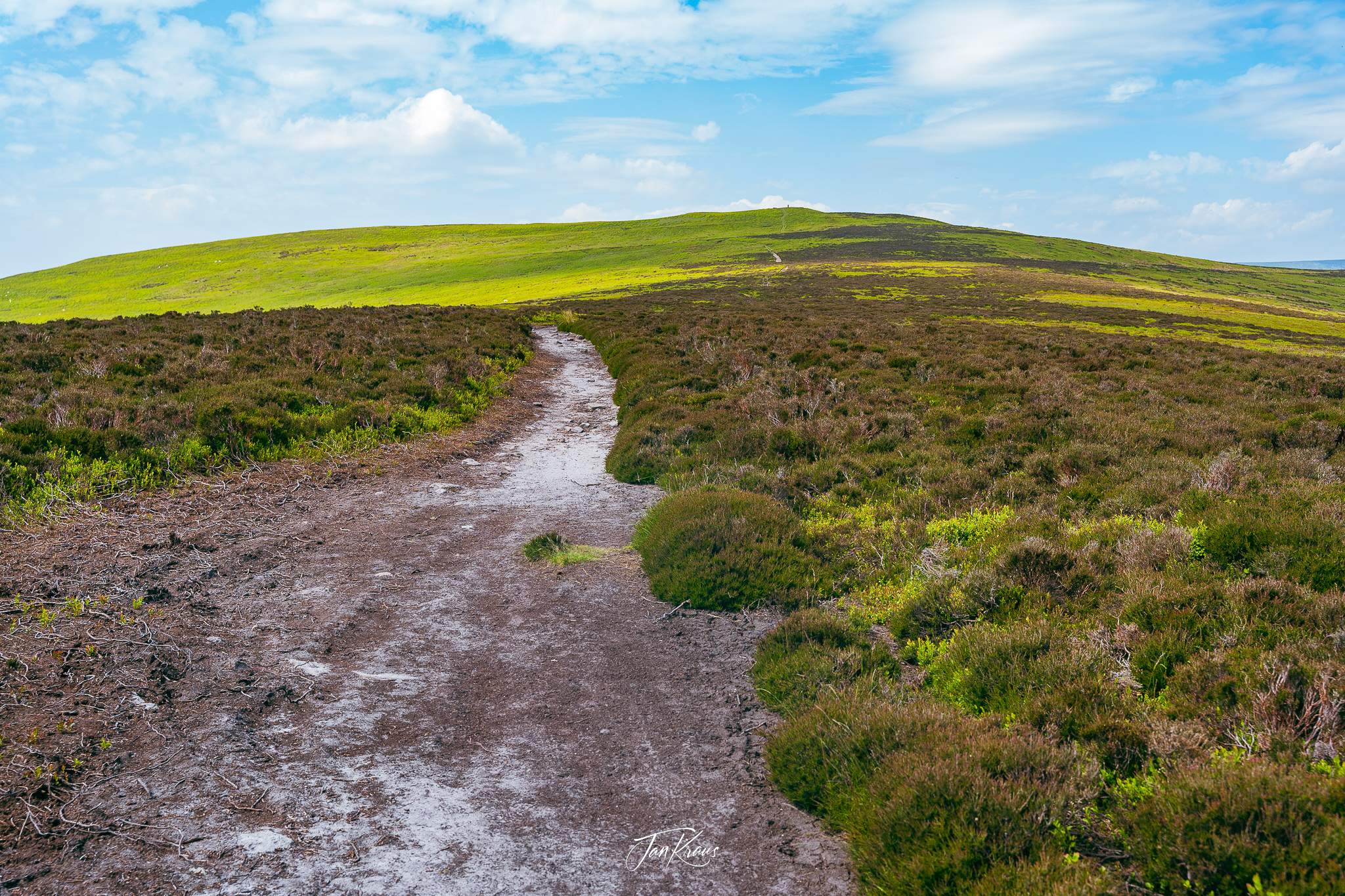
The path started to climb some unnamed hill, and I was looking forward to getting there, to rest and get some relief. Again, it was something around 300-350m of elevation and took maybe around 1h of hiking, but it felt long.
It was pretty windy when I finally got there, so I had to put my jacket on.

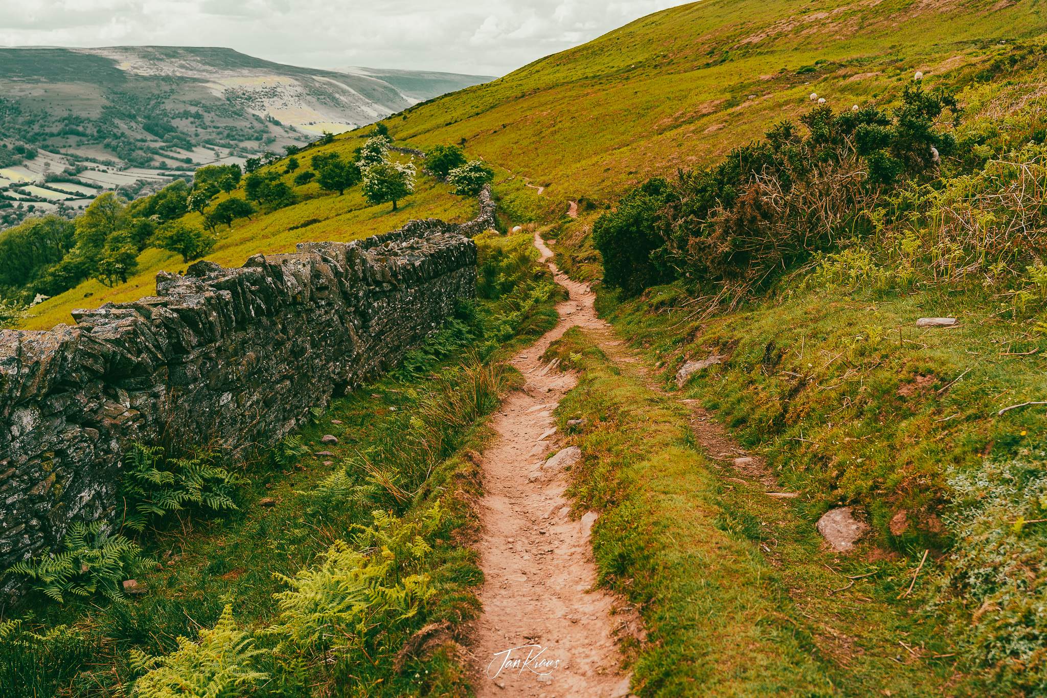
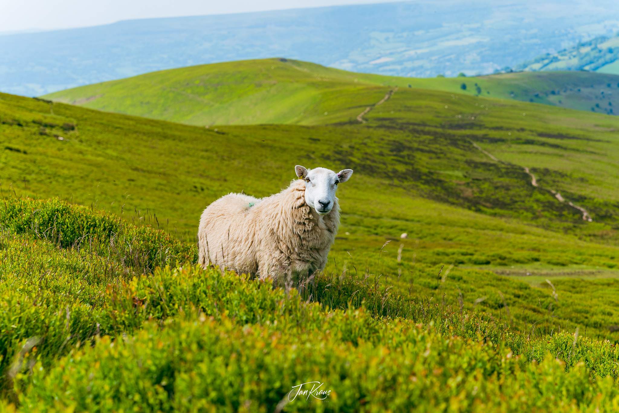
The views were amazing. You could look at the hills and the valley below. A small path was sneaking on the slopes, leading down towards the villages. Some sheep were grazing there, and one came quite close, just to check and posed as a subject.
I ate a Mars protein bar and a bit of chocolate, captured even more photos from this beautiful and tranquil place and left to continue.
Towards Table Mountain
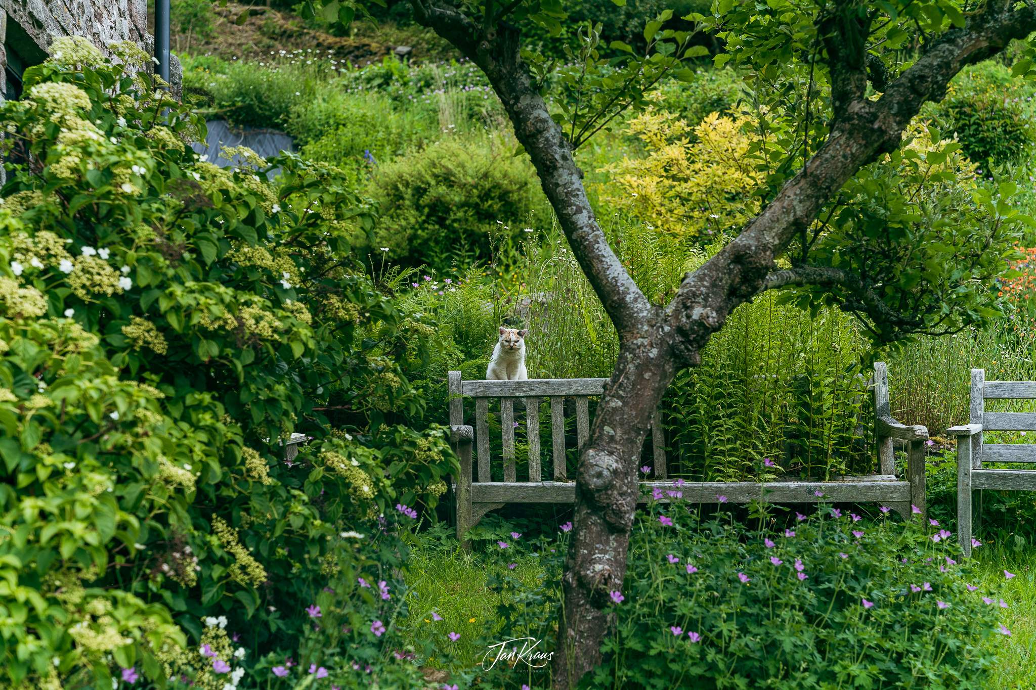
I continued the hike in the heat of the early afternoon. It was a slow descent towards Llanbedr village. I don’t remember much from that part, but I passed a house where a grumpy cat was watching me from his garden, and I thought this was hilarious.
As I climbed Crug Hywel (Table Mountain), some dark clouds started to gather. The ascent from the valley was initially pretty steep, and my base layer got soaked again.
On the right hand, I had the massive summit of Pen Cerrig Calch, which I had drafted earlier on my route for day two. I was trying to stretch my imagination of the hell I’ll climb this. I didn’t have to think long on this. I just knew it was impossible- I felt too tired.
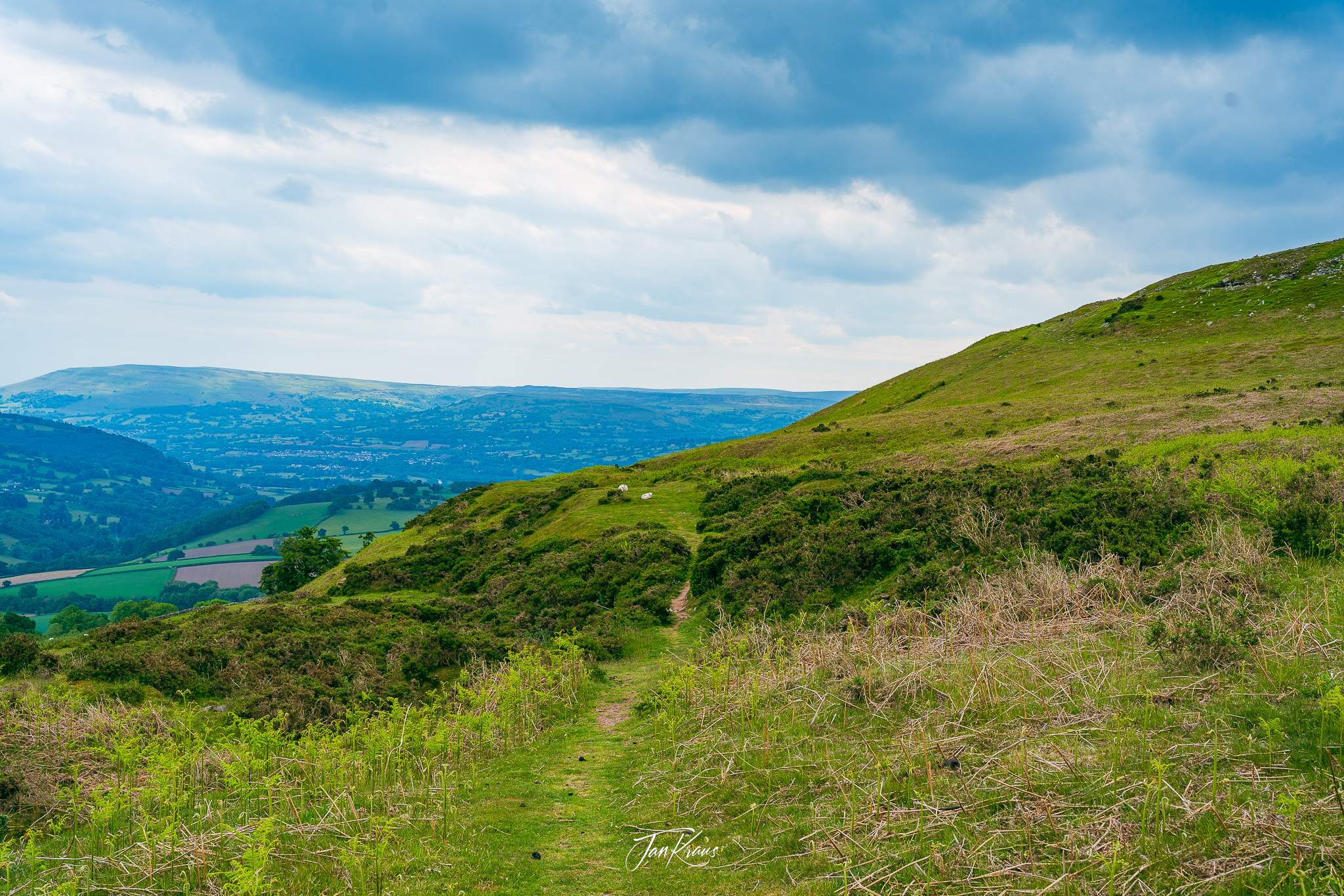
When I finally got on top, I had to change my t-shirt and wear a jacket again - it was pretty windy and a bit cold.
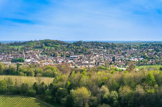
But in front of me, I had excellent views of the Crickhowell town.
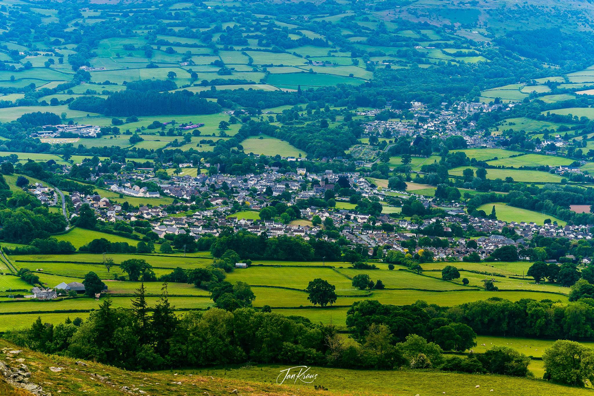
I felt pretty winded at this stage, and again I was contemplating what to do next. I ran out of water even though I skipped the plans of hiking Pen Cerrig Calch mountain. The perspective of camping somewhere along the way wasn’t very appealing.
I wanted some good food, a shower and a proper rest. I began to realize that my planning wasn’t realistic. Too long distance, too heavy bag.
I had to venture down to Crickhowell anyway, so I’ve decided to end my day there. I quickly googled some hotels and booked myself a room for one night.
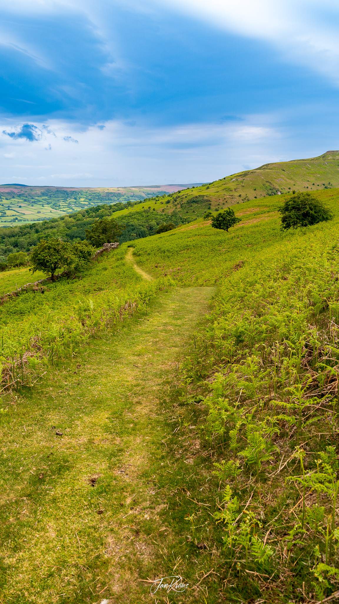
Refreshed with this idea, I began descent which still took ages in my experience (it took around 2 hours with some breaks).
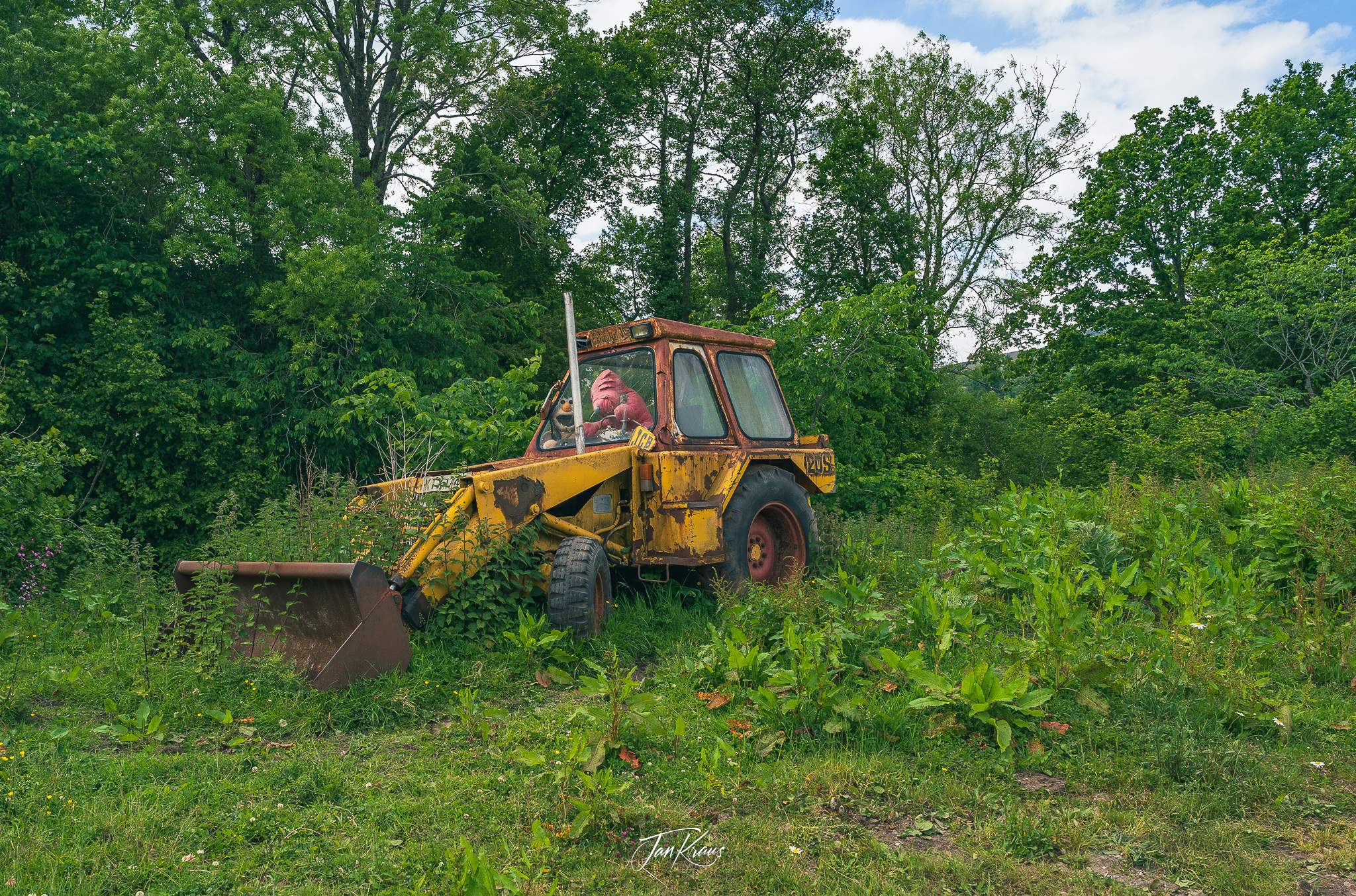
I welcomed the centre of Crickhowell and the Bear Hotel with a bit of tear in my eyes. The suffering was over, and I knew I’ll have time to rest, refresh and recover.
First I took a long bath and after that, I ate good dinner at The Britannia Inn pub.
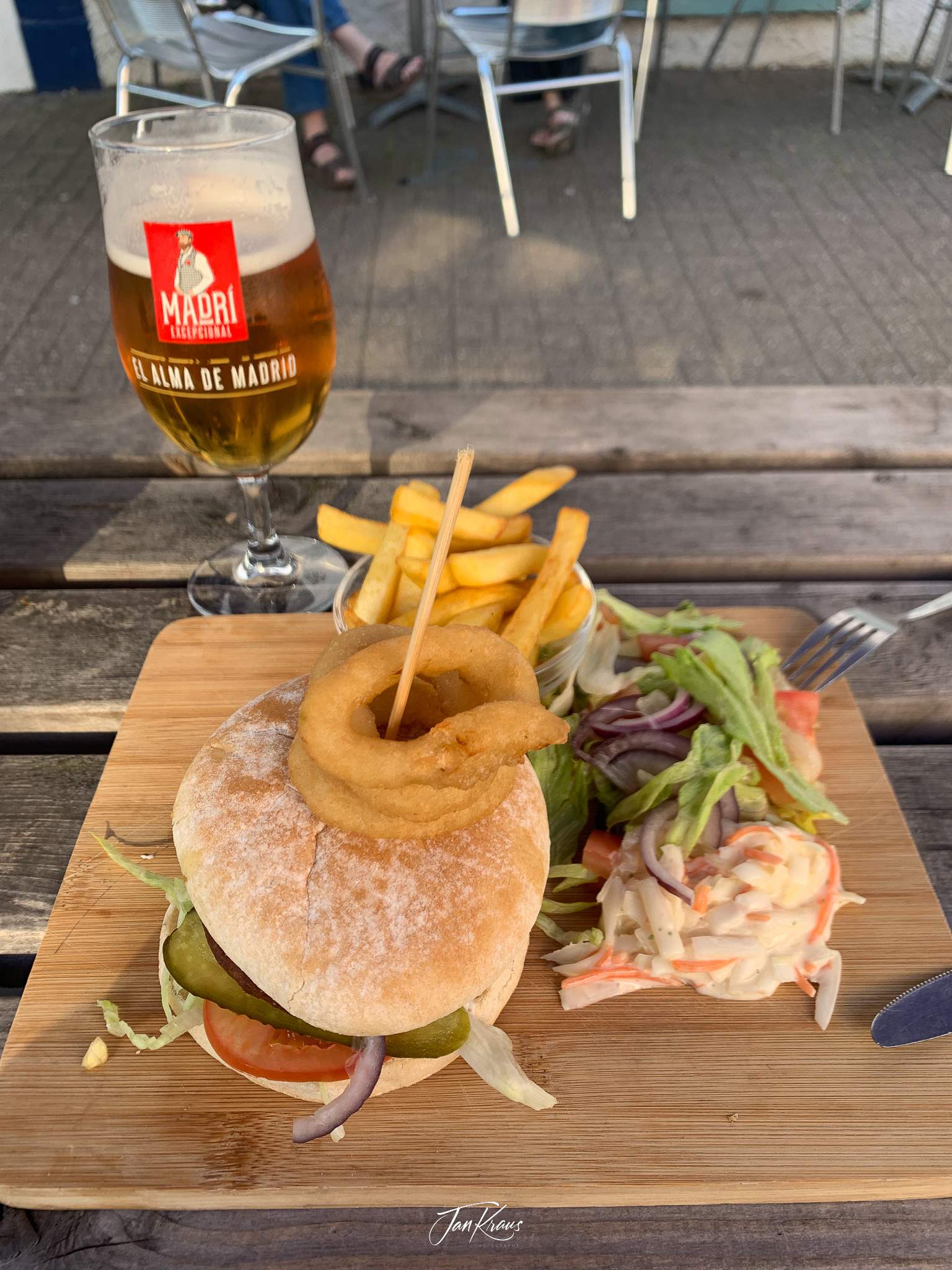
Returning to the hotel, I quickly passed out on the comfy bed with too many pillows.
Day three
The third day started with rainy weather. But first, I had some good breakfast and coffee and definitely felt rested and refreshed.
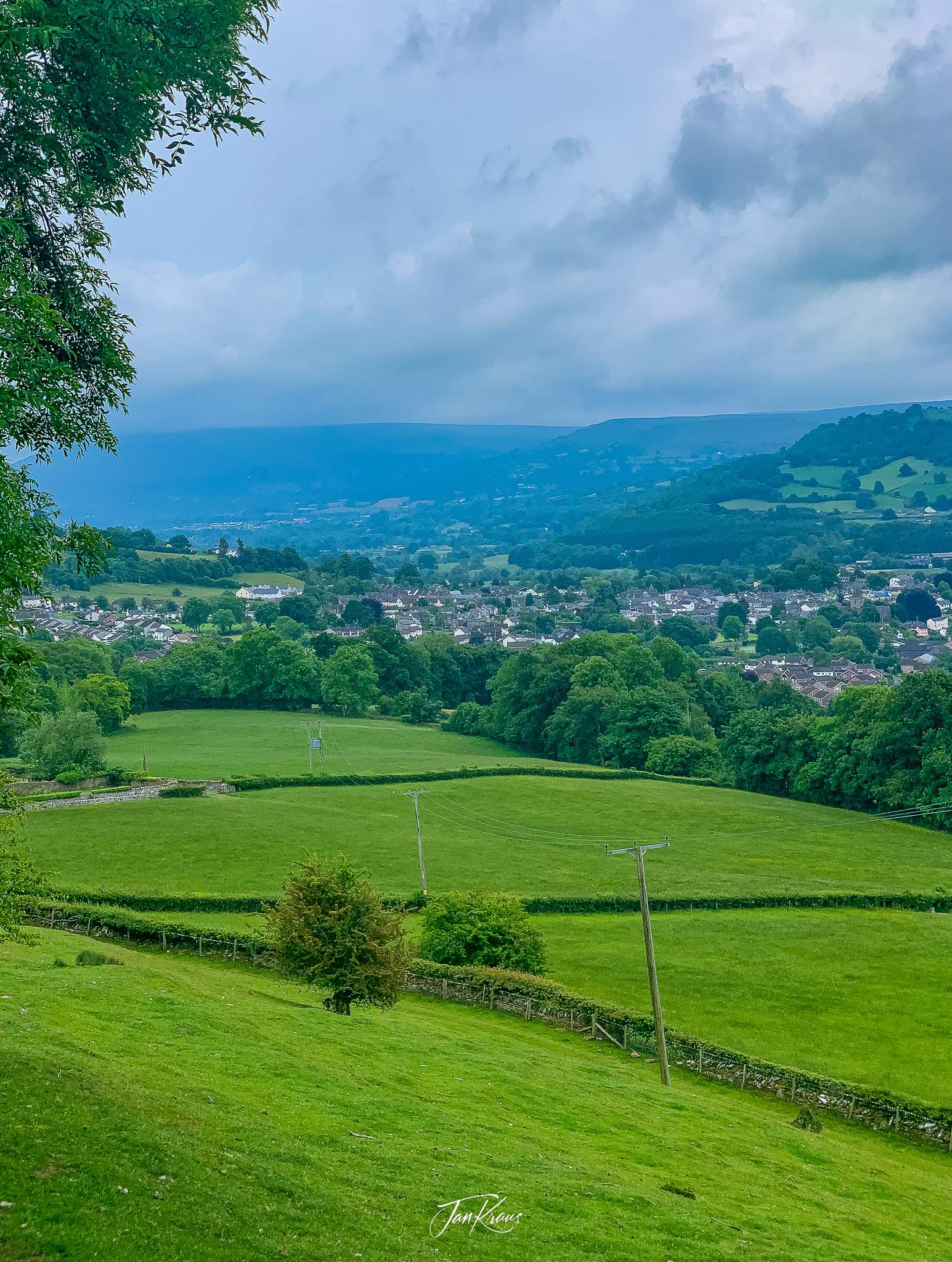
I felt ready for the next part. I knew I needed to catch up a bit; according to my plan, I had to be a little further in the hike. But little did I know, this would be
Sheep poop
A lot of the hikes led via right-of-way paths through farmland. A lot of this farmland is used for sheep grazing. Even though the day wasn’t hot like the day before, the poop was still smelling, which wasn’t a pleasant part of the journey.
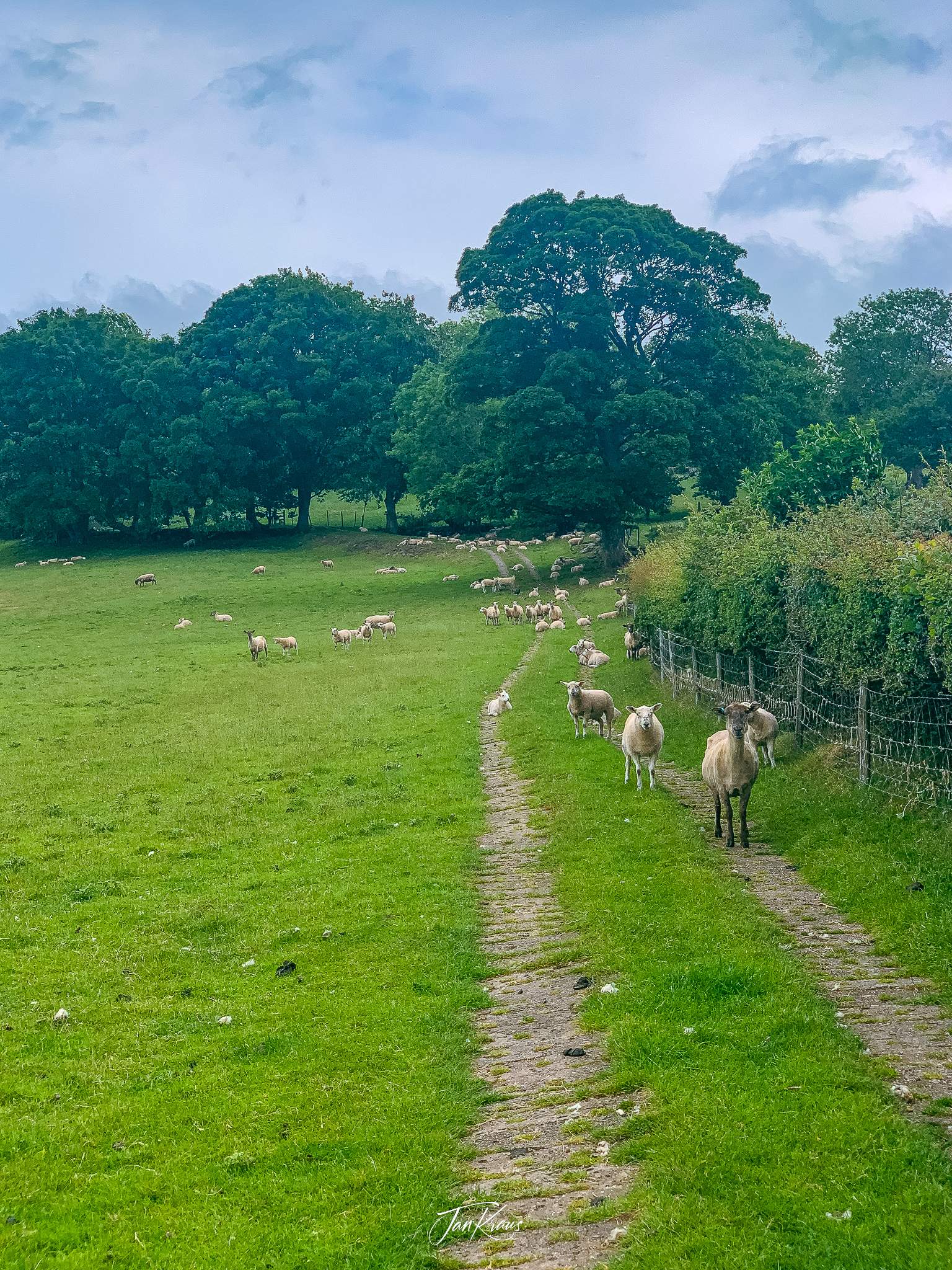
Especially on the 3rd day, many paths crossed the grazing fields. It just felt endless. Gate after gate. Farm after farm. This would have been a dull part of the hike if it wasn’t for occasional interesting spots.
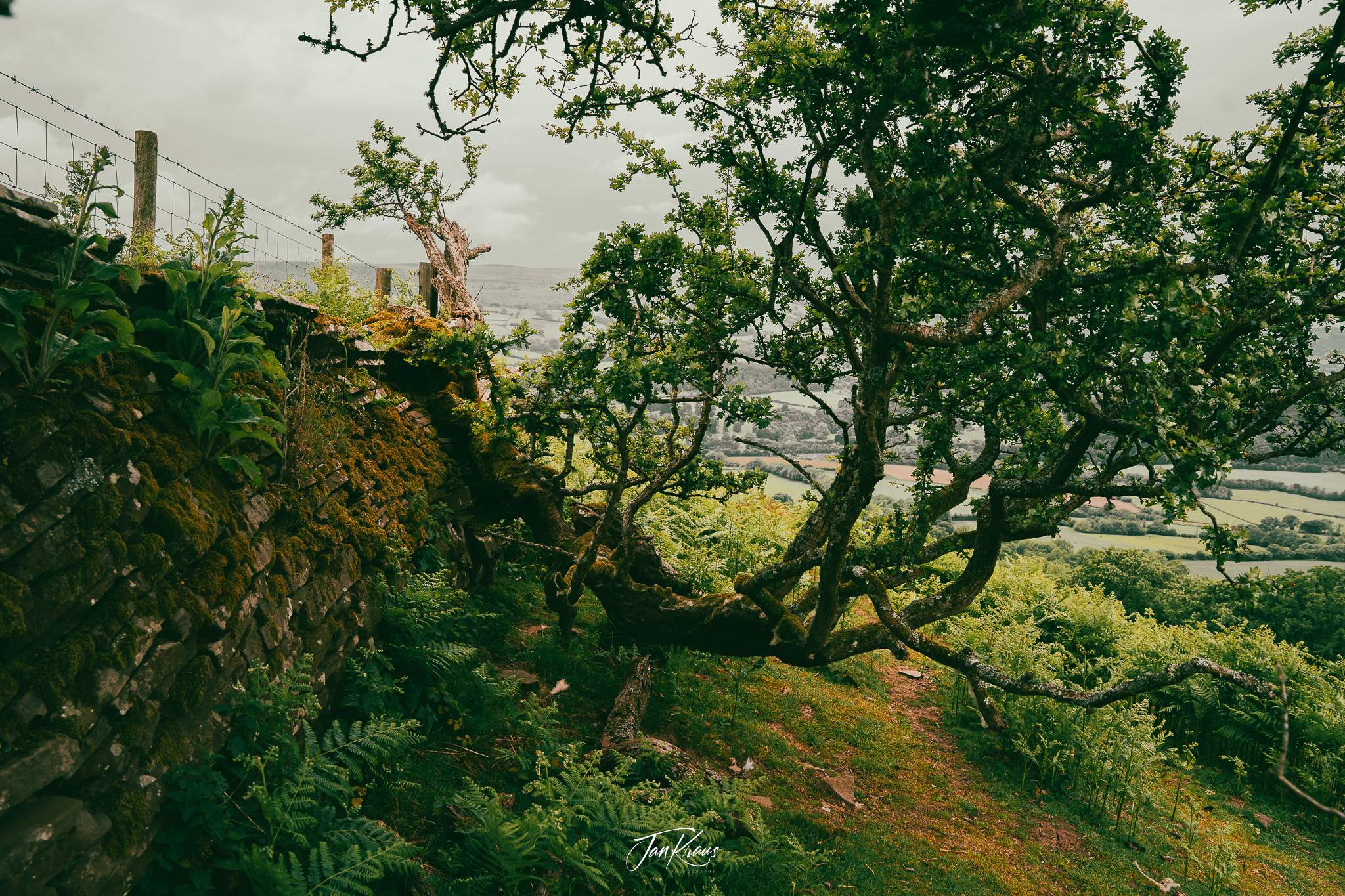
The weather was changing. There was some rain, then some wind, then sun, and back to brief rain. But it was also relatively warm, so I couldn’t just hike in my rain jacket all the time. So I often made stops to take it off, only to have to wear it again half an hour later.
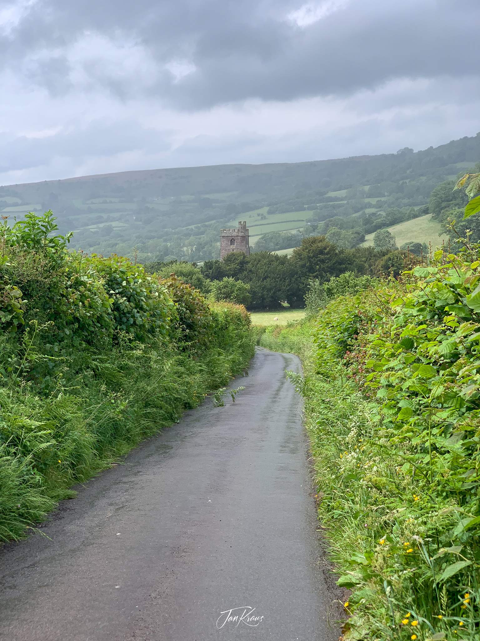
Around noon I approached the small village of Cwmdu where I stopped for lunch at The Farmers Arms pub. I had veggie lasagne, which was delicious (probably everything tastes great when you are tired and hungry).
I also charged a bit on my power bank, which was getting to dangerously low levels. I made a big mistake and didn’t charge it at the hotel that night.
Refreshed and energized by a pint of local beer, I continued the hike. I still had a long way ahead. The next hill to climb was Cefn Moel. The weather cleared, and it was a completely sunny and beautiful afternoon once I reached it.
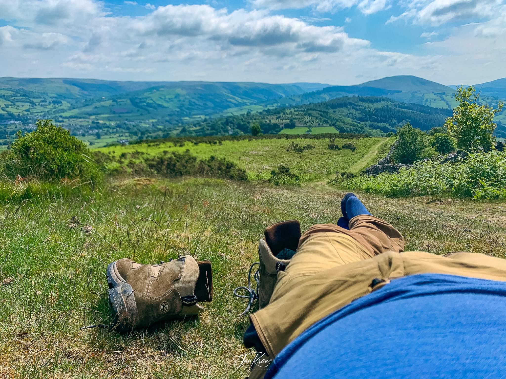
I realized that my hiking shoes suck. I have had them probably for 10 years now, and while they are still in great shape, they are simply too heavy and a bit hard. I’ve decided that I’ll get a new pair for the next major hike.
After the rest, I continued hiking. The trail led downhill towards some villages. After some time, I reached Llangynidr village.
It was an interesting place. I crossed an interesting bridge on the river Usk and then followed a long stroll along the Brecon Canal.
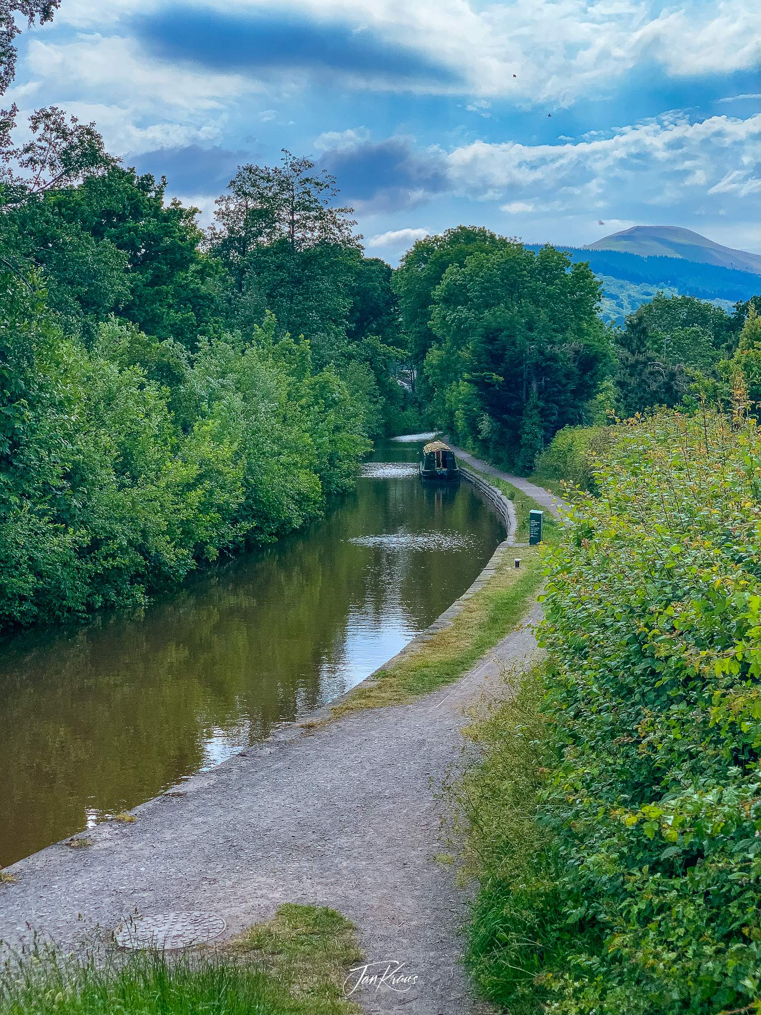
Usually, I would enjoy the scenery, but my legs & feet were saying something else. It started to get really challenging.
Leaving the village behind, I knew I was on the last stretch. But I was also around 6-7 hours and 20km in the hike, and every step started to hurt.
The pain cave
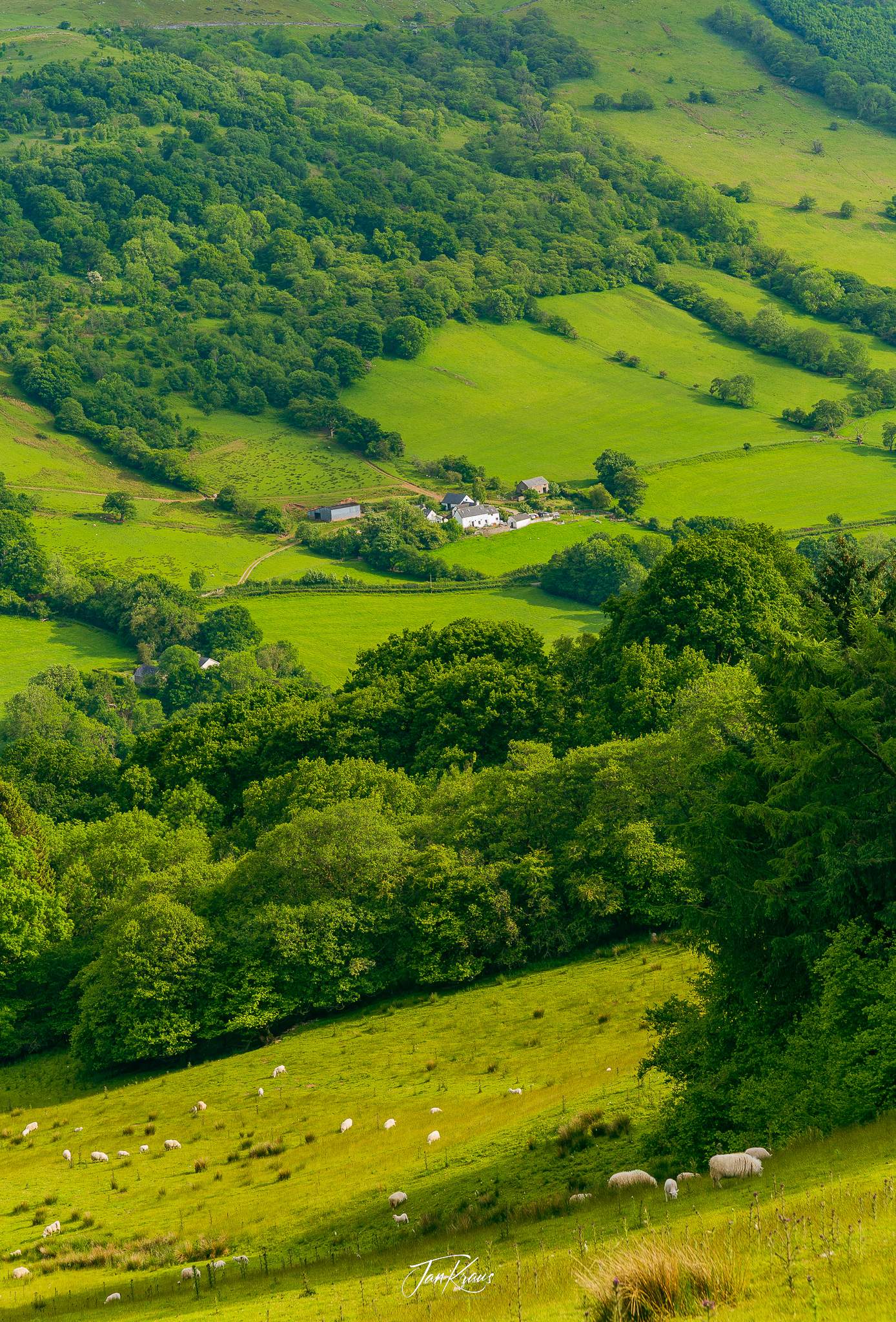
I still had to do around 8-10km with about 400 meters of elevation gain. It wasn’t easy. I tried various interested mind tricks to push myself.
What essentially helped me was a recall of an episode of Rich Roll Podcast with Courtney Dauwalter.
When you reframe pain as a destination rather than an obstacle, indeed, anything is possible.
I began to have a conversation with the pain, embracing it in some kind of way and just accepting its burden as a part of the journey. It was a freaking tough experience for me, but I endured a trip through my pain cave.
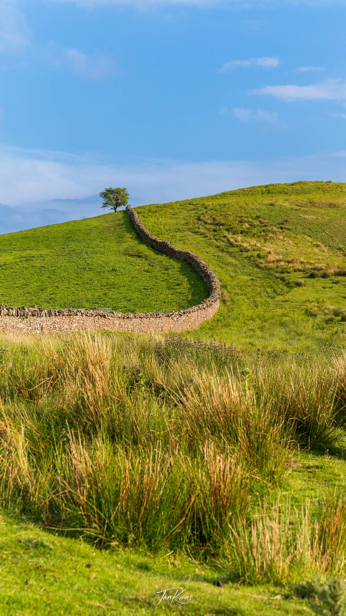
The evening weather was nice and soothed the pain a bit. A couple of hours later, I reached the hills above Talybont Reservoir.

I started to look for a place to camp. I’ve acknowledged that I won’t be able to reach the planned destination. I just walked a bit above the lake and settled for a bit exposed spot on the side of the hill. It wasn’t that easy to find flat ground, but I managed to stumble on a small patch of grass that was suitable.
I was ready to call it a day there.
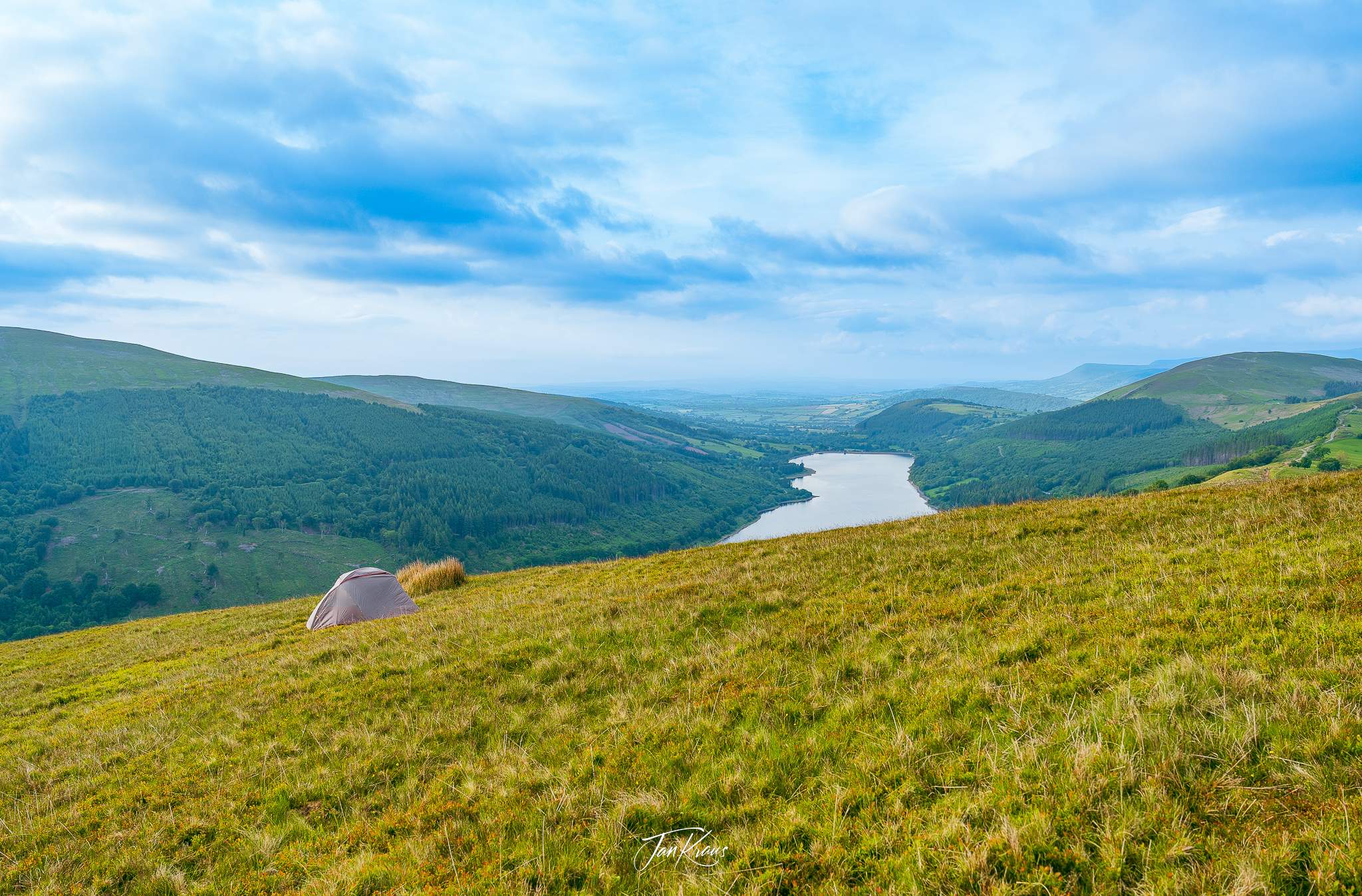
When I was getting ready to sleep, the weather worsened, and clouds covered the evening sky. I was already wrapped comfortably in my sleeping bag when the rain droplets began drumming furiously on the tent cover.
The loud thunder rang loudly above the hills and valleys as the storm passed nearby. It was a bit terrifying experience, but at this stage, there was nothing much I could do. There wasn’t any better shelter nearby.
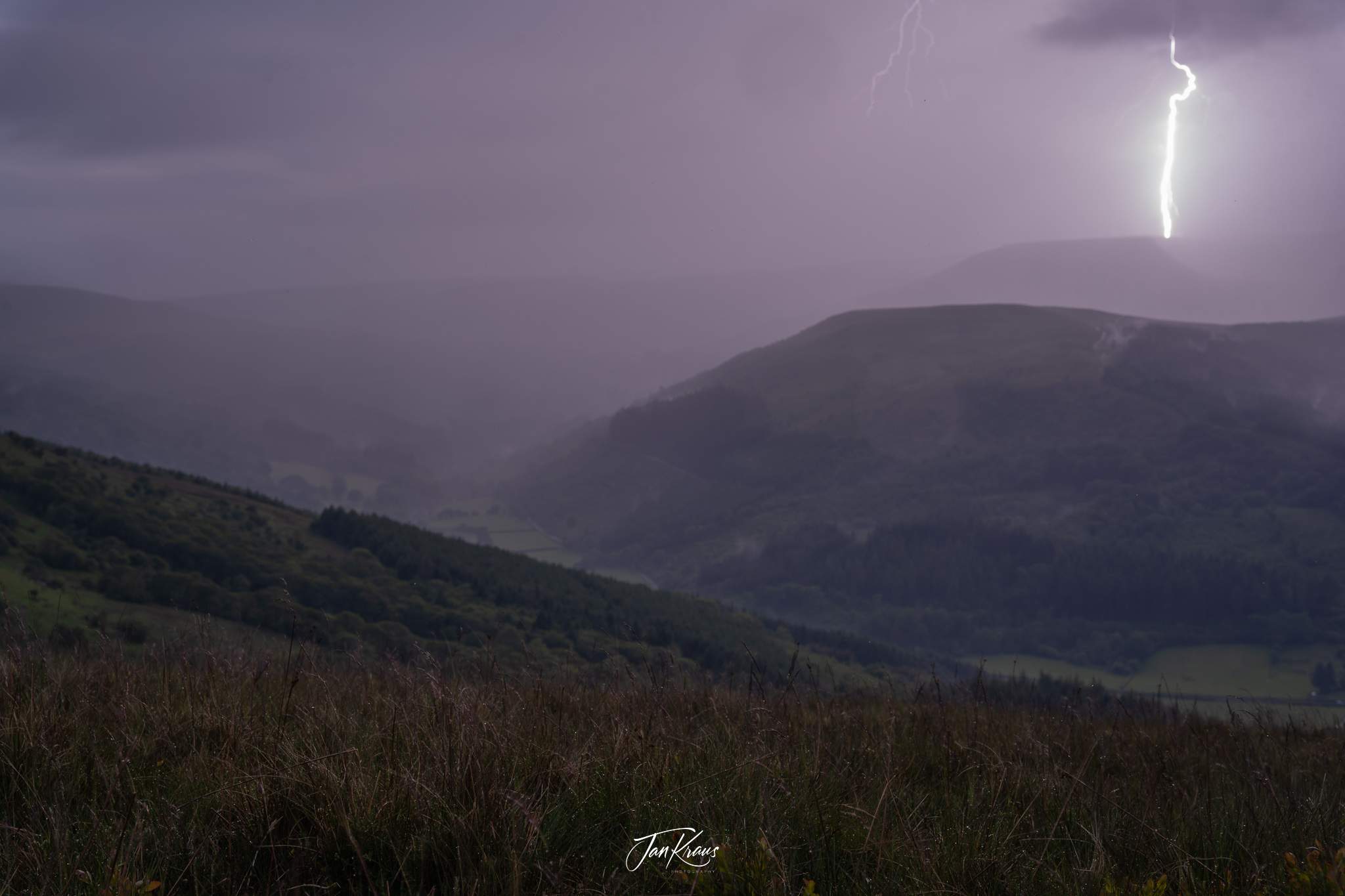
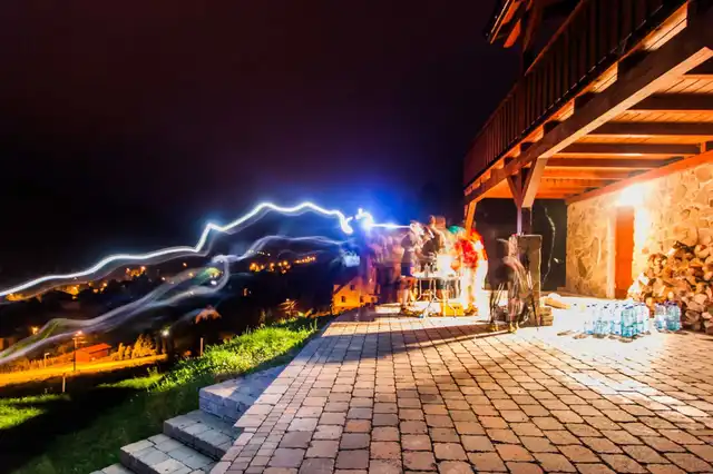
Fortunately, the storm quickly towards the centre of the Black Mountains. The weather cleared a bit, and I’ve captured a nightly photo of the landscape.
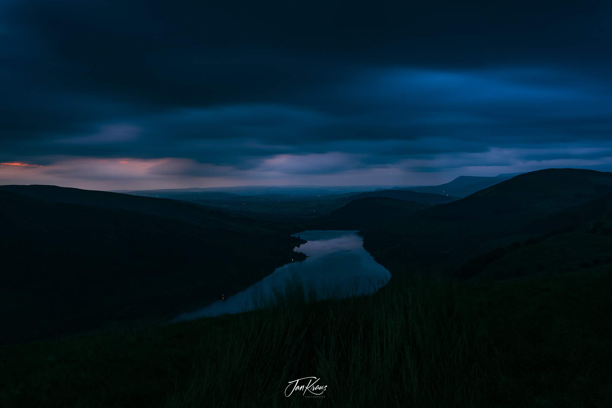
Later in the night, the rain returned, and its waves were still loudly banging, but I managed to fall asleep after some time.
Day four
I’ve woken up to fog covering everything around me.
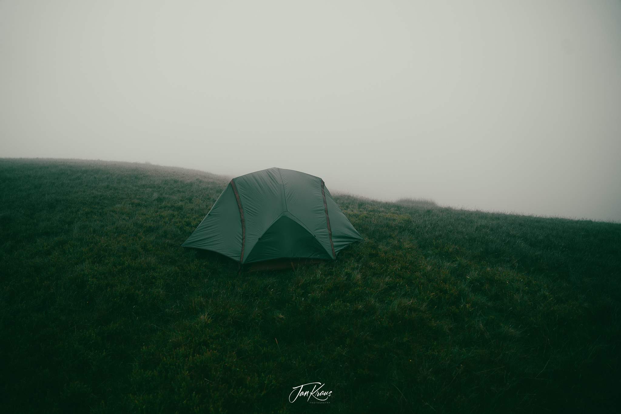
Fortunately, nothing was wet, but the weather forecast looked a bit unsure. There was a good chance of rain.
I reviewed my plan as I knew it wasn’t realistic to go as planned. The last day actually called for climbing Pen y Fan - the highest summit in the Brecon Beacons and then returning to Merthyr Tydfil for my journey back. But this would be probably somewhere between around 26-28km, and I knew I wasn’t ready for this.
I’ve decided to skip it and go back directly to the town. I’ve had enough. I’ve packed my stuff. Fortunately, nothing got wet in the night, so it was okay.
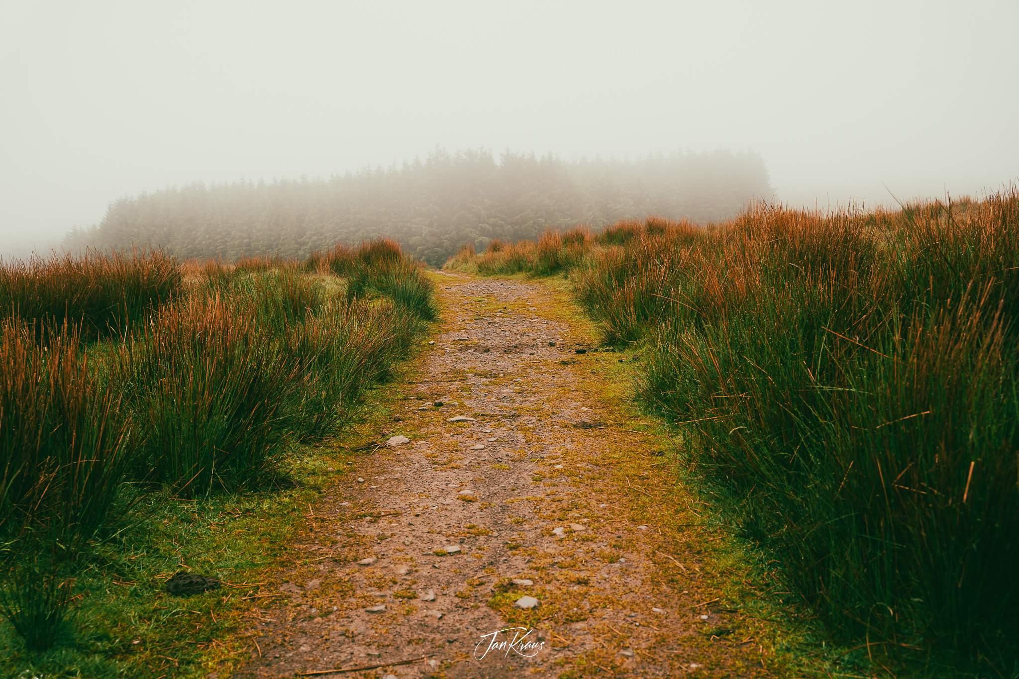
At this step, I left the Beacons Way trail and just followed a Roman Road that led down towards Pentwyn Reservoir.
I guess I took the right decision. I felt pretty tired already, and I couldn’t see myself climbing another mountain and still managing to get back on time for my return train.
The weather later in the day also got worse. I ended up hiking in my rain jacket with the rain cover over the backpack. It was a definitely good choice.
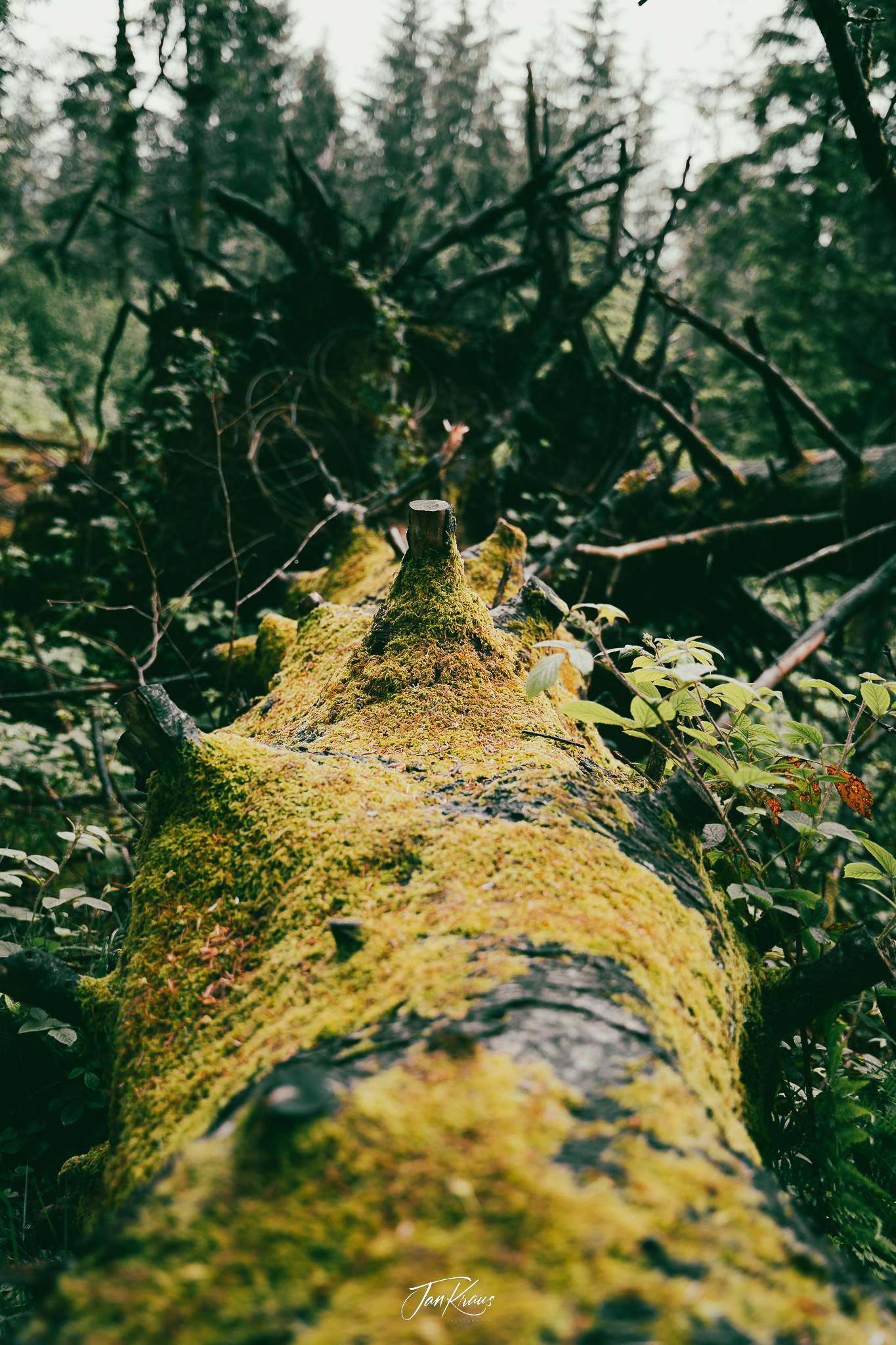
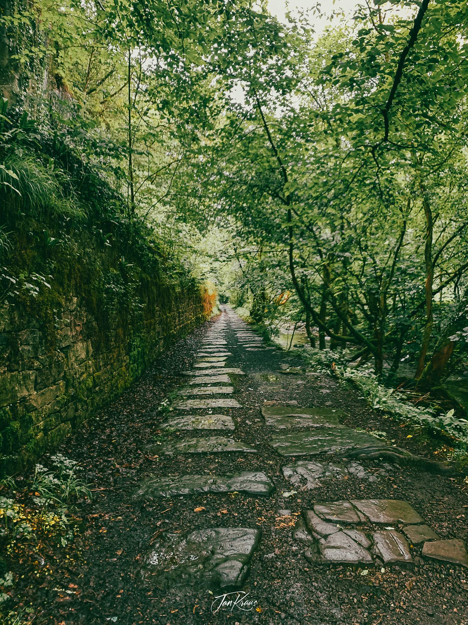
The last day was only 4,5 hours of hiking, but it still felt quite long. I reached the outskirts of Merthyr Tydfil and hiked some nice paths along a small river. Unfortunately, I really felt spent and tired and couldn’t enjoy it as much as I’d wanted.
Around noon I reached the centre of Merthyr Tydfil where I rested at a local Costa coffee. Later in the day, I travelled to Cardiff, where, in the evening, the National Express coach took me back to London.
Summary
According to GPS on Strava, in 4 days, I’ve covered around 95km:
It looked nice on the plan, but it was too much for what I could handle. My fitness wasn’t at a reasonable level yet, and I also didn’t have much recent experience with the heavy backpack.
It is a bit disappointing that I didn’t reach the most spectacular part of the Brecon Beacons mountains. But on the other hand, I’m pretty happy because I’ve achieved what I wanted. 4-day hiking trip from Abergavenny to Merthyr Tydfil along The Beacons Way!
Do I recommend it? I’m not 100% sure. There were parts of that route that looked nice, but there were also parts that literally were shit. But the experience was definitely worth it! Just plan shorter segments, carry less stuff, and you will be fine.
